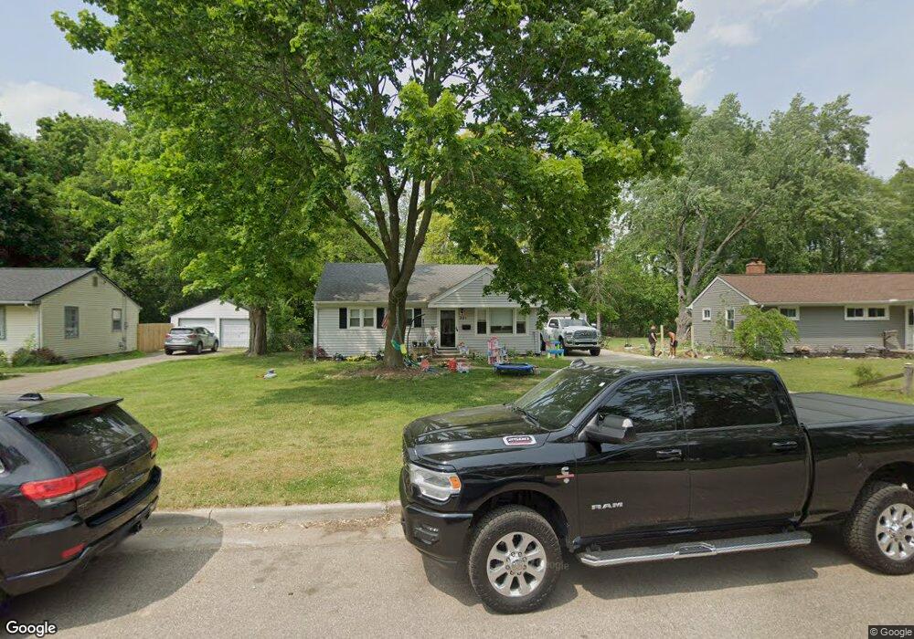
321 Northfield Dr Battle Creek, MI 49015
Minges Brook Riverside NeighborhoodEstimated Value: $176,574 - $200,000
3
Beds
2
Baths
864
Sq Ft
$213/Sq Ft
Est. Value
About This Home
This home is located at 321 Northfield Dr, Battle Creek, MI 49015 and is currently estimated at $183,644, approximately $212 per square foot. 321 Northfield Dr is a home located in Calhoun County with nearby schools including Lakeview Middle School, Lakeview High School, and Arbor Academy.
Ownership History
Date
Name
Owned For
Owner Type
Purchase Details
Closed on
May 27, 2010
Sold by
Secretary Of Veterans Affairs
Bought by
Ran Prop Llc
Current Estimated Value
Purchase Details
Closed on
Sep 3, 2009
Sold by
Utpadel John S and Utpadel Cindy R
Bought by
Citimortgage Inc
Purchase Details
Closed on
Aug 13, 2008
Sold by
Citimortgage Inc
Bought by
Department Of Veterans Affairs
Purchase Details
Closed on
Aug 17, 2001
Sold by
Joy Stephen A and Joy Mindy S
Bought by
Utpadel John S
Purchase Details
Closed on
Mar 27, 1998
Bought by
Joy
Create a Home Valuation Report for This Property
The Home Valuation Report is an in-depth analysis detailing your home's value as well as a comparison with similar homes in the area
Home Values in the Area
Average Home Value in this Area
Purchase History
| Date | Buyer | Sale Price | Title Company |
|---|---|---|---|
| Ran Prop Llc | -- | Devon | |
| Citimortgage Inc | $51,556 | None Available | |
| Department Of Veterans Affairs | -- | None Available | |
| Utpadel John S | $95,000 | -- | |
| Joy | $83,000 | -- |
Source: Public Records
Tax History Compared to Growth
Tax History
| Year | Tax Paid | Tax Assessment Tax Assessment Total Assessment is a certain percentage of the fair market value that is determined by local assessors to be the total taxable value of land and additions on the property. | Land | Improvement |
|---|---|---|---|---|
| 2025 | -- | $67,900 | $0 | $0 |
| 2024 | $2,028 | $61,471 | $0 | $0 |
| 2023 | $2,575 | $53,631 | $0 | $0 |
| 2022 | $1,833 | $47,133 | $0 | $0 |
| 2021 | $2,503 | $43,845 | $0 | $0 |
| 2020 | $2,358 | $43,012 | $0 | $0 |
| 2019 | $2,344 | $42,980 | $0 | $0 |
| 2018 | $2,344 | $43,643 | $3,593 | $40,050 |
| 2017 | $2,283 | $41,102 | $0 | $0 |
| 2016 | $2,278 | $37,649 | $0 | $0 |
| 2015 | $2,151 | $35,261 | $3,603 | $31,658 |
| 2014 | $2,151 | $34,198 | $3,603 | $30,595 |
Source: Public Records
Map
Nearby Homes
- 320 N Ridgeway Dr
- 1227 Capital Ave SW
- 117 Meadow Dr
- 620 Meadow Dr
- 1116 Lakeside Dr S
- 239 Brewer Dr S
- V/L Riverside Dr
- 1200 Lakeside Dr S
- 170 Frances Dr E
- 32 Golden Ave
- 175 S Ridgeway Dr
- 0 Jennings Landing
- 214 Morningside Dr
- 618 Jennings Landing
- 160 Lincoln Hill Dr
- 20 Hiawatha Dr
- 112 Darragh Dr
- 210 Briar Hill Dr
- 1 Hiawatha Cove Trail Unit 23
- 245 Columbia Ave E
- 315 Northfield Dr
- 320 Northfield Dr
- 309 Northfield Dr
- 303 Northfield Dr
- 344 N Lincoln Blvd
- 310 Northfield Dr
- 1105 Capital Ave SW
- 338 N Lincoln Blvd
- 332 Briarwood Ln
- 227 Northfield Dr
- 327 N Lincoln Blvd
- 332 N Lincoln Blvd
- 326 Briarwood Ln
- 221 Northfield Dr
- 345 N Ridgeway Dr
- 339 N Ridgeway Dr
- 326 N Lincoln Blvd
- 321 N Lincoln Blvd
- 339 Briarwood Ln
- 320 Briarwood Ln