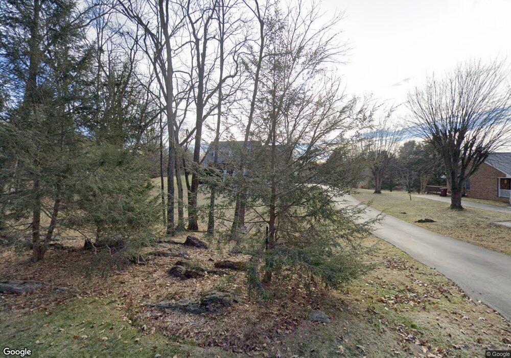
321 Rangewood Rd Piney Flats, TN 37686
Estimated Value: $581,392 - $754,000
4
Beds
4
Baths
3,100
Sq Ft
$217/Sq Ft
Est. Value
About This Home
This home is located at 321 Rangewood Rd, Piney Flats, TN 37686 and is currently estimated at $671,598, approximately $216 per square foot. 321 Rangewood Rd is a home located in Sullivan County with nearby schools including Lake Ridge Elementary School, Indian Trail Middle School, and Liberty Bell Middle School.
Ownership History
Date
Name
Owned For
Owner Type
Purchase Details
Closed on
Oct 28, 2002
Sold by
Mumford Robert D
Bought by
Blayney Laurie L
Current Estimated Value
Home Financials for this Owner
Home Financials are based on the most recent Mortgage that was taken out on this home.
Original Mortgage
$189,000
Outstanding Balance
$78,639
Interest Rate
5.93%
Estimated Equity
$592,959
Purchase Details
Closed on
May 9, 1995
Create a Home Valuation Report for This Property
The Home Valuation Report is an in-depth analysis detailing your home's value as well as a comparison with similar homes in the area
Home Values in the Area
Average Home Value in this Area
Purchase History
| Date | Buyer | Sale Price | Title Company |
|---|---|---|---|
| Blayney Laurie L | $247,000 | -- | |
| -- | $16,500 | -- |
Source: Public Records
Mortgage History
| Date | Status | Borrower | Loan Amount |
|---|---|---|---|
| Open | -- | $189,000 |
Source: Public Records
Tax History Compared to Growth
Tax History
| Year | Tax Paid | Tax Assessment Tax Assessment Total Assessment is a certain percentage of the fair market value that is determined by local assessors to be the total taxable value of land and additions on the property. | Land | Improvement |
|---|---|---|---|---|
| 2024 | -- | $81,900 | $8,450 | $73,450 |
| 2023 | $3,445 | $81,900 | $8,450 | $73,450 |
| 2022 | $1,971 | $81,900 | $8,450 | $73,450 |
| 2021 | $3,240 | $81,900 | $8,450 | $73,450 |
| 2020 | $1,947 | $81,900 | $8,450 | $73,450 |
| 2019 | $3,425 | $75,775 | $8,450 | $67,325 |
| 2018 | $3,326 | $75,775 | $8,450 | $67,325 |
| 2017 | $3,326 | $75,775 | $8,450 | $67,325 |
| 2016 | $3,386 | $75,825 | $8,450 | $67,375 |
| 2014 | -- | $75,833 | $0 | $0 |
Source: Public Records
Map
Nearby Homes
- 985 Rangewood Rd
- 6775 Wildlife Cir
- 1058 Raccoon Ln
- 5402 Wildlife Cir
- 407 Harbor Approach
- 5659 Wildlife Cir
- 2401 Egret Ln
- 300 Harbor Approach
- 1472 Raccoon Ln
- 1545 Raccoon Ln
- 302 Harbor Approach
- 168 Degrasse Dr
- 450 Lake Approach Dr
- Tbd Boonewood Pvt Dr
- 220 Degrasse Dr
- 130 Lookout Pointe Unit 130
- 2442 Haystack Cir
- 2398 Haystack Cir
- 359 Carroll Creek Rd
- 4160 Bristol Hwy Unit 602
- 301 Rangewood Rd
- 361 Rangewood Rd
- 289 Rangewood Rd
- 4325 Summerfield Dr
- 401 Rangewood Rd
- 4327 Summerfield Dr
- 4323 Summerfield Dr
- 285 Rangewood Rd
- 4329 Summerfield Dr
- 411 Rangewood Rd
- 360 Rangewood Rd
- 4321 Summerfield Dr
- 4331 Summerfield Dr
- 284 Rangewood Rd
- 425 Rangewood Rd
- 4319 Summerfield Dr
- 4330 Summerfield Dr
- 4332 Summerfield Dr
- 4333 Summerfield Dr
- Lot43 Summerfield Dr
