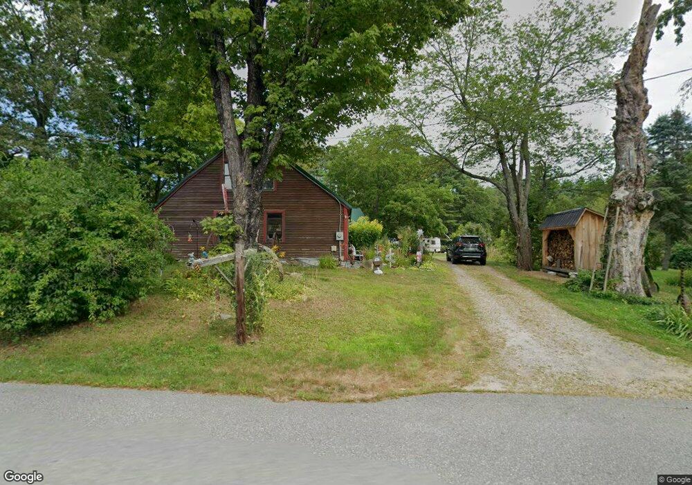
321 Robbins Rd Rindge, NH 03461
Estimated Value: $431,000 - $565,000
2
Beds
2
Baths
2,180
Sq Ft
$225/Sq Ft
Est. Value
About This Home
This home is located at 321 Robbins Rd, Rindge, NH 03461 and is currently estimated at $490,759, approximately $225 per square foot. 321 Robbins Rd is a home with nearby schools including Rindge Memorial School, Conant Middle High School, and Conant High School.
Ownership History
Date
Name
Owned For
Owner Type
Purchase Details
Closed on
Apr 27, 2012
Sold by
Bumpus Peter F
Bought by
Bumpus Peter F and Bumps Lisbeth A
Current Estimated Value
Purchase Details
Closed on
Jun 21, 1989
Bought by
Bumpus Peter F and Bumpus Lisbeth A
Create a Home Valuation Report for This Property
The Home Valuation Report is an in-depth analysis detailing your home's value as well as a comparison with similar homes in the area
Home Values in the Area
Average Home Value in this Area
Purchase History
| Date | Buyer | Sale Price | Title Company |
|---|---|---|---|
| Bumpus Peter F | -- | -- | |
| Bumpus Peter F | -- | -- |
Source: Public Records
Mortgage History
| Date | Status | Borrower | Loan Amount |
|---|---|---|---|
| Open | Bumpus Peter F | $50,000 |
Source: Public Records
Tax History Compared to Growth
Tax History
| Year | Tax Paid | Tax Assessment Tax Assessment Total Assessment is a certain percentage of the fair market value that is determined by local assessors to be the total taxable value of land and additions on the property. | Land | Improvement |
|---|---|---|---|---|
| 2024 | $6,708 | $265,035 | $59,635 | $205,400 |
| 2023 | $6,644 | $265,325 | $59,925 | $205,400 |
| 2022 | $6,110 | $265,325 | $59,925 | $205,400 |
| 2021 | $5,905 | $260,725 | $59,925 | $200,800 |
| 2020 | $5,855 | $260,785 | $59,985 | $200,800 |
| 2019 | $5,444 | $196,105 | $48,705 | $147,400 |
| 2018 | $5,397 | $196,240 | $48,840 | $147,400 |
| 2017 | $5,332 | $196,105 | $48,705 | $147,400 |
| 2016 | $5,473 | $196,105 | $48,705 | $147,400 |
| 2015 | $5,313 | $190,505 | $48,705 | $141,800 |
| 2014 | $5,545 | $213,005 | $74,705 | $138,300 |
| 2013 | $5,177 | $203,335 | $75,935 | $127,400 |
Source: Public Records
Map
Nearby Homes
- 22 Daria Dr
- Lot 14 Saybrook Dr
- Lot 15-0 Saybrook Dr
- Lot 2 Saybrook Dr
- Lot 1 Saybrook Dr
- 40 Maple Dr
- 0 Thomas Rd Unit 10 5014817
- 759 Brown St
- 706 Brown St
- Lot 64 Lincoln Ave
- 801 Rt 12 S
- 115 Brook Side Rd Unit 2-12
- 31 Willow Ln
- 39 Willow Ln
- 37 Willow Ln
- 41 Willow Ln
- 108 Highland St
- 29 Winter St
- 239 Abel Rd
- 102 Pearl St
- 357 Robbins Rd Unit 1
- 357 Robbins Rd
- 313 Robbins Rd
- 350 Robbins Rd
- 322 Robbins Rd
- 263 Robbins Rd
- 293 Robbins Rd
- 356 Robbins Rd
- 300 Robbins Rd
- 380 Robbins Rd
- 58 Homestead Ln
- 275 Robbins Rd
- 284 Robbins Rd
- 11 Liberty Ln
- 249 Robbins Rd
- 169 Homestead Ln
- 405 Robbins Rd
- 237 Robbins Rd
- 234 Robbins Rd
- 229 Robbins Rd