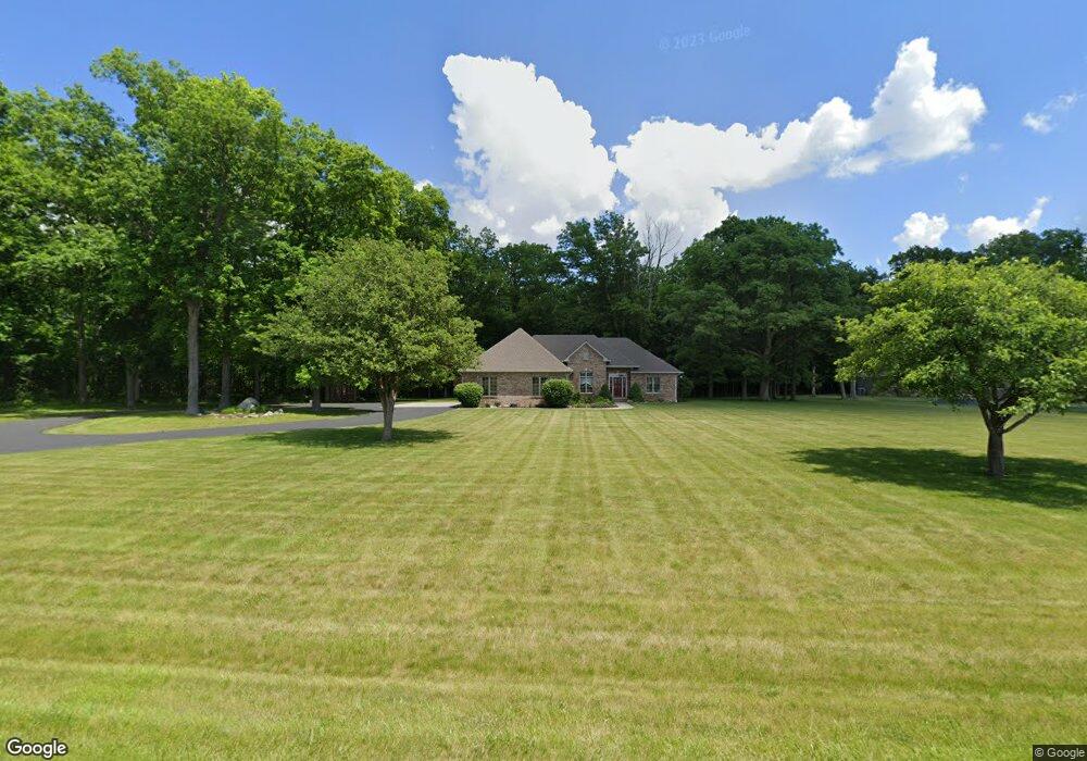
321 S 650 E Whitestown, IN 46075
Estimated Value: $391,000 - $674,000
3
Beds
3
Baths
2,368
Sq Ft
$234/Sq Ft
Est. Value
About This Home
This home is located at 321 S 650 E, Whitestown, IN 46075 and is currently estimated at $554,613, approximately $234 per square foot. 321 S 650 E is a home located in Boone County with nearby schools including Perry Worth Elementary School, Lebanon Middle School, and Lebanon Senior High School.
Ownership History
Date
Name
Owned For
Owner Type
Purchase Details
Closed on
Feb 5, 2014
Sold by
Holmes Judith A and Higgins Timothy A
Bought by
Judith A Holmes Third Amended And Restat
Current Estimated Value
Purchase Details
Closed on
Sep 24, 2007
Sold by
Holmes William L and Holmes Judith A
Bought by
Holmes William L and Holmes Judith A
Purchase Details
Closed on
Sep 13, 2007
Sold by
Holmes Charles Wayne and Holmes Charles Warren
Bought by
Holmes William L and Holmes Judith A
Create a Home Valuation Report for This Property
The Home Valuation Report is an in-depth analysis detailing your home's value as well as a comparison with similar homes in the area
Home Values in the Area
Average Home Value in this Area
Purchase History
| Date | Buyer | Sale Price | Title Company |
|---|---|---|---|
| Judith A Holmes Third Amended And Restat | -- | None Available | |
| Holmes William L | -- | -- | |
| Holmes William L | -- | -- |
Source: Public Records
Tax History
| Year | Tax Paid | Tax Assessment Tax Assessment Total Assessment is a certain percentage of the fair market value that is determined by local assessors to be the total taxable value of land and additions on the property. | Land | Improvement |
|---|---|---|---|---|
| 2025 | $4,306 | $516,400 | $56,800 | $459,600 |
| 2024 | $4,306 | $494,200 | $56,800 | $437,400 |
| 2023 | $4,143 | $475,300 | $56,800 | $418,500 |
| 2022 | $4,000 | $442,100 | $56,800 | $385,300 |
| 2021 | $3,658 | $384,500 | $56,800 | $327,700 |
| 2020 | $3,153 | $352,300 | $56,800 | $295,500 |
| 2019 | $2,999 | $355,700 | $56,800 | $298,900 |
| 2018 | $3,133 | $344,900 | $56,800 | $288,100 |
| 2017 | $3,028 | $344,400 | $56,800 | $287,600 |
| 2016 | $3,023 | $322,900 | $56,800 | $266,100 |
| 2014 | $2,657 | $287,100 | $56,800 | $230,300 |
Source: Public Records
Map
Nearby Homes
- 523 S 700 E
- 440 S 800 E
- 545 S 500 E
- 440 S 800 East Rd
- 5151 150 S
- 0 E 200 S
- 2073 Bauer Creek Dr
- 2128 Bauer Creek Dr
- 2134 Dixon Creek Dr
- 2240 Stony Creek Dr
- 5236 E 200 S
- 6110 Camarillo Dr
- 2269 Highberry Dr
- 6390 Flag Stop Dr
- 6288 Flag Stop Dr
- 6264 Flag Stop Dr
- 6240 Flag Stop Dr
- 6184 Flag Stop Dr
- 2413 Stony Creek Dr
- 6962 Gem Creek Ln
- 379 S 650 E
- 366 S 650 E
- 366 S 650 E
- 311 650 E (Main Street)
- 402 S 650 E
- 6501 E State Road 32
- 600 S 650 E
- 6500 E State Road 32
- 457 S 650 E
- 6674 E State Road 32
- 519 S 650 E
- 6851 E State Road 32
- 564 S 650 E
- 6265 E State Road 32
- 202 S 700 E
- 636 S 650 E
- 6925 Indiana 32
- 6925 E State Road 32
- 690 S 650 E
- 6150 E State Road 32
Your Personal Tour Guide
Ask me questions while you tour the home.