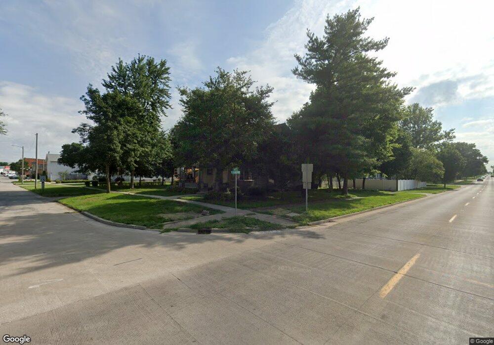
321 S Green St Chenoa, IL 61726
Estimated Value: $96,553 - $156,000
Studio
2
Baths
1,420
Sq Ft
$88/Sq Ft
Est. Value
About This Home
This home is located at 321 S Green St, Chenoa, IL 61726 and is currently estimated at $124,388, approximately $87 per square foot. 321 S Green St is a home located in McLean County with nearby schools including Prairie Central High School.
Ownership History
Date
Name
Owned For
Owner Type
Purchase Details
Closed on
Aug 28, 2023
Sold by
Chicago Assets Llc
Bought by
Bell Josh
Current Estimated Value
Purchase Details
Closed on
Oct 27, 2022
Sold by
Ttlreo 2 Llc
Bought by
Chicago Assets Llc
Purchase Details
Closed on
Jun 28, 2019
Sold by
County Of Mclean
Bought by
Ttlreo 2 Llc
Purchase Details
Closed on
Apr 30, 2019
Sold by
Spoolstra James Howard and Spoolstra Theresa Marlene
Bought by
Bell Josh
Create a Home Valuation Report for This Property
The Home Valuation Report is an in-depth analysis detailing your home's value as well as a comparison with similar homes in the area
Purchase History
| Date | Buyer | Sale Price | Title Company |
|---|---|---|---|
| Bell Josh | -- | None Listed On Document | |
| Chicago Assets Llc | $25,333 | -- | |
| Ttlreo 2 Llc | -- | Attorney | |
| Bell Josh | -- | Mclean County Title |
Source: Public Records
Tax History
| Year | Tax Paid | Tax Assessment Tax Assessment Total Assessment is a certain percentage of the fair market value that is determined by local assessors to be the total taxable value of land and additions on the property. | Land | Improvement |
|---|---|---|---|---|
| 2024 | $1,480 | $17,839 | $4,920 | $12,919 |
| 2022 | $1,480 | $15,348 | $4,233 | $11,115 |
| 2021 | $1,424 | $14,997 | $4,136 | $10,861 |
| 2020 | $1,364 | $13,945 | $3,846 | $10,099 |
| 2019 | $1,400 | $13,945 | $3,846 | $10,099 |
| 2018 | $2,867 | $26,621 | $3,808 | $22,813 |
| 2017 | $2,566 | $26,621 | $3,808 | $22,813 |
| 2016 | $2,431 | $26,621 | $3,808 | $22,813 |
| 2015 | $1,859 | $27,315 | $3,907 | $23,408 |
| 2014 | $1,850 | $27,315 | $3,907 | $23,408 |
| 2013 | -- | $27,614 | $3,950 | $23,664 |
Source: Public Records
Map
Nearby Homes
- Lot 7 Block 11 S Morehead St
- 503 N Commercial St
- 429 W Owsley St
- 117 Clark St
- 310 N 1st Ave
- 605 Morningside Dr
- 1017 Florence Ave
- 106 Champion Dr
- 602 N 4th Ave
- 10788 N 1000 East Rd
- 9898 E 1200 North Rd
- 31439 2nd St
- 33574 Oak St
- 208 E 8th St
- 108 E Gridley Rd
- 14373 N 1700 Rd E
- 10735 E 1700 Rd N
- 8735 N 2000 East Rd
- 25179 N 2175 East Rd
- 21671 Clarksville Rd
- 311 S Green St
- 324 Weir St
- 320 Weir St
- 216 E Cemetery Ave
- 204 Lincoln St
- 312 S Green St
- 210 E Cemetery Ave
- 310 S Green St
- 208 E Cemetery Ave
- 403 Maple St
- 206 E Cemetery Ave
- 424 Maple St
- 409 Mason St
- 304 E Cemetery Ave
- 323 Weir St
- 201 E Cemetery Ave
- 415 Maple St
- 417 Mason St
- 420 Maple St
- 215 Lincoln St
Your Personal Tour Guide
Ask me questions while you tour the home.