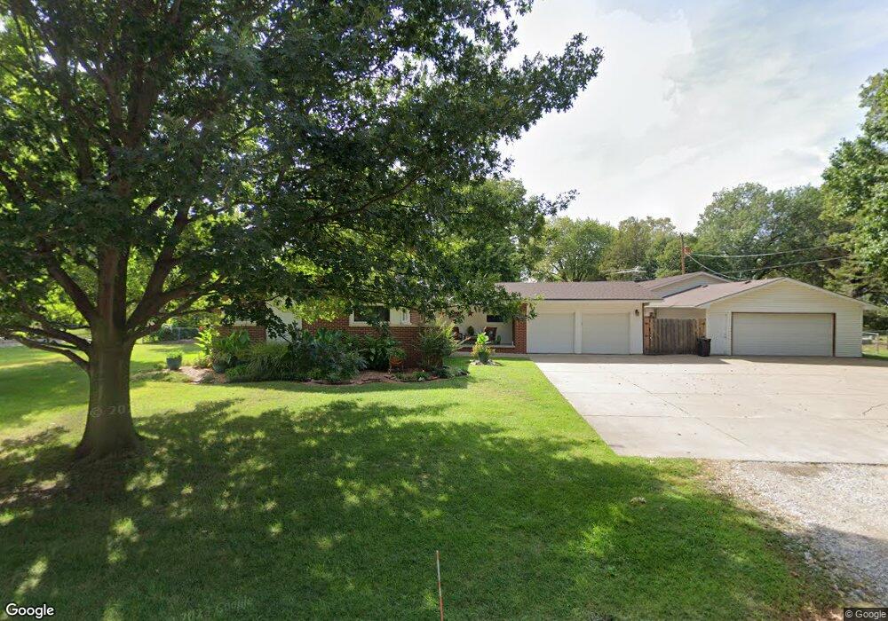
321 S Mamie Ln Wichita, KS 67209
West Wichita NeighborhoodEstimated Value: $269,052 - $277,000
3
Beds
2
Baths
1,498
Sq Ft
$182/Sq Ft
Est. Value
About This Home
This home is located at 321 S Mamie Ln, Wichita, KS 67209 and is currently estimated at $273,026, approximately $182 per square foot. 321 S Mamie Ln is a home located in Sedgwick County with nearby schools including Apollo Elementary School, Discovery Intermediate School, and Dwight D. Eisenhower Middle School.
Ownership History
Date
Name
Owned For
Owner Type
Purchase Details
Closed on
Mar 4, 2016
Sold by
Simpson Kenneth Eugene and Simpson Audrey Annette
Bought by
Simpson Family Irrevocable Trust
Current Estimated Value
Purchase Details
Closed on
Mar 3, 1999
Sold by
Knowles Charles L and Knowles Lynna L
Bought by
Simpson Kenneth E and Simpson Audrey A
Home Financials for this Owner
Home Financials are based on the most recent Mortgage that was taken out on this home.
Original Mortgage
$79,200
Interest Rate
6.8%
Create a Home Valuation Report for This Property
The Home Valuation Report is an in-depth analysis detailing your home's value as well as a comparison with similar homes in the area
Home Values in the Area
Average Home Value in this Area
Purchase History
| Date | Buyer | Sale Price | Title Company |
|---|---|---|---|
| Simpson Family Irrevocable Trust | -- | None Available | |
| Simpson Kenneth E | -- | Columbian Natl Title Ins Co |
Source: Public Records
Mortgage History
| Date | Status | Borrower | Loan Amount |
|---|---|---|---|
| Closed | Simpson Kenneth E | $79,200 |
Source: Public Records
Tax History Compared to Growth
Tax History
| Year | Tax Paid | Tax Assessment Tax Assessment Total Assessment is a certain percentage of the fair market value that is determined by local assessors to be the total taxable value of land and additions on the property. | Land | Improvement |
|---|---|---|---|---|
| 2025 | $2,676 | $25,864 | $4,842 | $21,022 |
| 2023 | $2,676 | $24,174 | $3,669 | $20,505 |
| 2022 | $2,783 | $24,174 | $3,462 | $20,712 |
| 2021 | $2,607 | $22,379 | $2,392 | $19,987 |
| 2020 | $2,445 | $20,723 | $2,392 | $18,331 |
| 2019 | $2,234 | $18,837 | $2,392 | $16,445 |
| 2018 | $2,103 | $17,492 | $1,507 | $15,985 |
| 2017 | $1,967 | $0 | $0 | $0 |
| 2016 | $1,957 | $0 | $0 | $0 |
| 2015 | $1,980 | $0 | $0 | $0 |
| 2014 | $2,007 | $0 | $0 | $0 |
Source: Public Records
Map
Nearby Homes
- 9109 W Douglas Ave
- 9111 W Douglas Ave
- 115 N Westfield St
- 336 S Wetmore St
- 542 S Paula Ave
- 434 & 432 S Robin Rd
- 31 W Rolling Hills Ct
- 324 N Fairway Ave
- 10416 W Texas St
- 10504 W Texas St
- 300 N Wood Ave
- 9715 W 3rd St N
- 238 N Mesa St
- 202 S Mars St
- 137 S Mars St
- 525 S Woodchuck Ln
- 8020 W Hendryx Ave
- 1300 S Fieldcrest St
- 110 N Prescott St
- 1441 S Lark Ln
- 331 S Mamie Ln
- 311 S Mamie Ln
- 320 S Seville Ave
- 310 S Mamie Ln
- 328 S Mamie Ln
- 310 S Seville Ave
- 340 S Seville Ave
- 401 S Mamie Ln
- 300 S Seville Ave
- 301 S Mamie Ln
- 402 S Mamie Ln
- 321 S Callahan Dr
- 311 S Callahan Dr
- 300 S Mamie Ln
- 331 S Callahan Dr
- 416 S Seville Ave
- 416 S Mamie Ln
- 301 S Callahan Dr
- 9625 W Maple St
- 431 S Herschel Ave