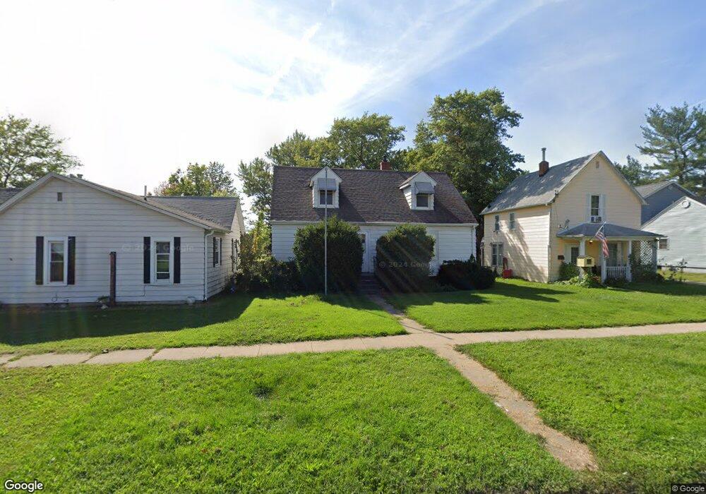
321 S Ransom St Ottumwa, IA 52501
Estimated Value: $101,000 - $129,000
3
Beds
2
Baths
1,548
Sq Ft
$77/Sq Ft
Est. Value
About This Home
This home is located at 321 S Ransom St, Ottumwa, IA 52501 and is currently estimated at $118,666, approximately $76 per square foot. 321 S Ransom St is a home located in Wapello County with nearby schools including Douma Elementary School, Liberty Elementary School, and Evans Middle School.
Ownership History
Date
Name
Owned For
Owner Type
Purchase Details
Closed on
Dec 21, 2020
Sold by
Mccoy Harlan J and Hockaday Deborah
Bought by
Seia Rentals Llc
Current Estimated Value
Home Financials for this Owner
Home Financials are based on the most recent Mortgage that was taken out on this home.
Original Mortgage
$42,151
Outstanding Balance
$37,527
Interest Rate
2.7%
Mortgage Type
Commercial
Estimated Equity
$81,139
Purchase Details
Closed on
Sep 15, 2018
Sold by
Mccoy Harlan Joseph Est
Bought by
Mccoy Harlan J
Create a Home Valuation Report for This Property
The Home Valuation Report is an in-depth analysis detailing your home's value as well as a comparison with similar homes in the area
Home Values in the Area
Average Home Value in this Area
Purchase History
| Date | Buyer | Sale Price | Title Company |
|---|---|---|---|
| Seia Rentals Llc | $52,000 | None Listed On Document | |
| Seia Rentals Llc | $52,000 | None Available | |
| Mccoy Harlan J | -- | -- |
Source: Public Records
Mortgage History
| Date | Status | Borrower | Loan Amount |
|---|---|---|---|
| Open | Seia Rentals Llc | $42,151 | |
| Closed | Seia Rentals Llc | $42,151 |
Source: Public Records
Tax History Compared to Growth
Tax History
| Year | Tax Paid | Tax Assessment Tax Assessment Total Assessment is a certain percentage of the fair market value that is determined by local assessors to be the total taxable value of land and additions on the property. | Land | Improvement |
|---|---|---|---|---|
| 2025 | $2,290 | $111,250 | $4,750 | $106,500 |
| 2024 | $2,290 | $105,630 | $4,750 | $100,880 |
| 2023 | $2,002 | $105,630 | $4,750 | $100,880 |
| 2022 | $1,992 | $83,760 | $4,750 | $79,010 |
| 2021 | $1,992 | $78,470 | $4,750 | $73,720 |
| 2020 | $1,938 | $75,400 | $4,750 | $70,650 |
| 2019 | $1,980 | $75,400 | $0 | $0 |
| 2018 | $1,614 | $75,400 | $0 | $0 |
| 2017 | $1,614 | $75,400 | $0 | $0 |
| 2016 | $1,558 | $74,415 | $0 | $0 |
| 2015 | $1,562 | $74,415 | $0 | $0 |
| 2014 | $1,562 | $74,415 | $0 | $0 |
Source: Public Records
Map
Nearby Homes
- 317 S Ward St
- 322 S Davis St
- 434 S Ward St
- 522 S Davis St
- 505 Ellis Ave
- 612 Clinton Ave
- 522 S Adella St
- 404 W Mary St
- 559 S Moore St
- 916 S Weller St
- 615 S Moore St
- 433 W Finley Ave
- 319 Hamilton St
- 611 Tuttle St
- 1007 S James St
- 901 Queen Anne Ave
- 138 Minnesota St
- 202 N Moore St
- 420 S Ferry St
- 814 E Finley Ave
- 317 S Ransom St
- 325 S Ransom St
- 315 S Ransom St
- 322 S Ward St
- 309 S Ransom St
- 318 S Ward St
- 328 S Ward St
- 314 S Ward St
- 322 S Ransom St
- 305 S Ransom St
- 318 S Ransom St
- 326 S Ransom St
- 310 S Ward St
- 401 S Ransom St
- 314 S Ransom St
- 306 S Ward St
- 301 S Ransom St
- 310 S Ransom St
- 409 S Ransom St
- 406 S Ransom St