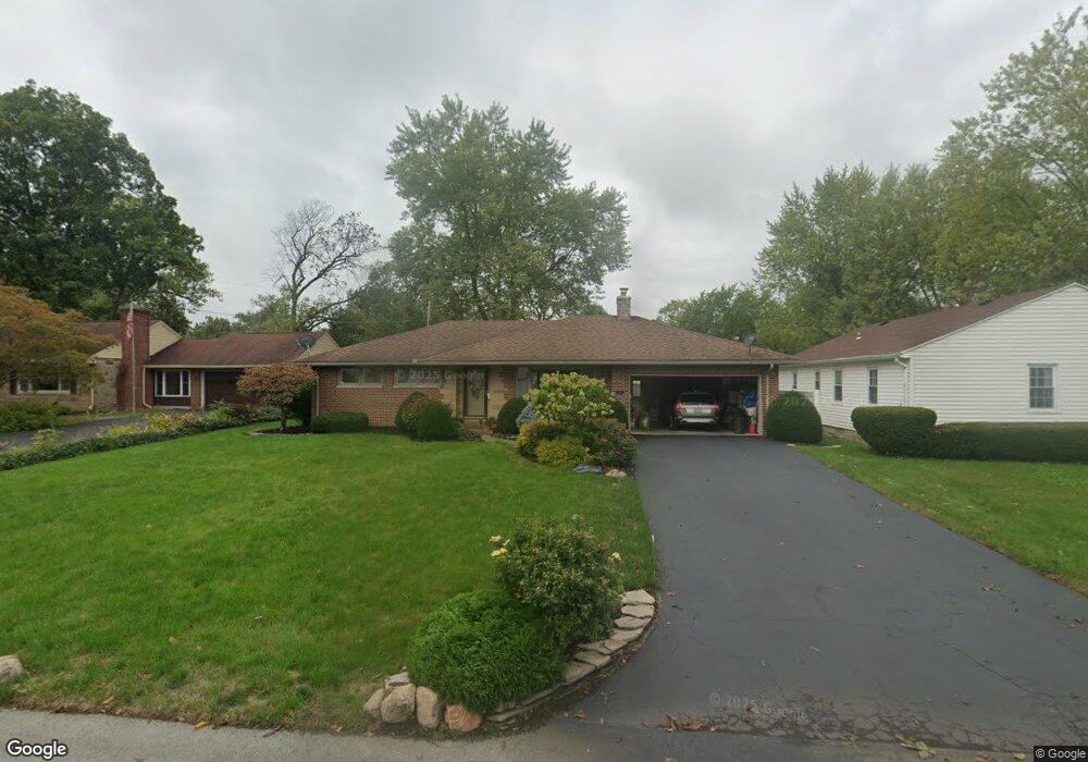
321 Singleton Ave Lima, OH 45805
Westgate NeighborhoodEstimated Value: $148,000 - $167,000
3
Beds
1
Bath
1,112
Sq Ft
$143/Sq Ft
Est. Value
About This Home
This home is located at 321 Singleton Ave, Lima, OH 45805 and is currently estimated at $159,066, approximately $143 per square foot. 321 Singleton Ave is a home located in Allen County with nearby schools including Heritage Elementary School, Lima West Middle School, and Lima North Middle School.
Ownership History
Date
Name
Owned For
Owner Type
Purchase Details
Closed on
Nov 17, 2016
Sold by
Huntington National Bank
Bought by
Leonard Robert K
Current Estimated Value
Purchase Details
Closed on
Jan 1, 1990
Bought by
Griffo John
Create a Home Valuation Report for This Property
The Home Valuation Report is an in-depth analysis detailing your home's value as well as a comparison with similar homes in the area
Home Values in the Area
Average Home Value in this Area
Purchase History
| Date | Buyer | Sale Price | Title Company |
|---|---|---|---|
| Leonard Robert K | $66,000 | None Available | |
| Huntington National Bank | -- | None Available | |
| Griffo John | -- | -- |
Source: Public Records
Tax History
| Year | Tax Paid | Tax Assessment Tax Assessment Total Assessment is a certain percentage of the fair market value that is determined by local assessors to be the total taxable value of land and additions on the property. | Land | Improvement |
|---|---|---|---|---|
| 2024 | $1,355 | $47,360 | $7,560 | $39,800 |
| 2023 | $1,014 | $33,120 | $5,290 | $27,830 |
| 2022 | $1,036 | $33,120 | $5,290 | $27,830 |
| 2021 | $1,095 | $33,120 | $5,290 | $27,830 |
| 2020 | $1,034 | $29,090 | $5,080 | $24,010 |
| 2019 | $1,034 | $29,090 | $5,080 | $24,010 |
| 2018 | $1,025 | $29,090 | $5,080 | $24,010 |
| 2017 | $884 | $25,840 | $5,080 | $20,760 |
| 2016 | $1,343 | $25,840 | $5,080 | $20,760 |
| 2015 | $1,377 | $25,840 | $5,080 | $20,760 |
| 2014 | $1,368 | $25,980 | $5,010 | $20,970 |
| 2013 | $1,331 | $25,980 | $5,010 | $20,970 |
Source: Public Records
Map
Nearby Homes
- 1918 Oakland Pkwy
- 1716 Oakland Pkwy
- 275 N Dale Dr
- 1607 W Wayne St
- 2057 W High St
- 1753 Leland Ave
- 705 Cornell Dr
- 1541 Oakland Pkwy
- 3 Poulston Place
- 2201 W High St
- 1600 Leland Ave
- 1605 Hazel Ave
- 1517 Allentown Rd
- 1508 Oakland Pkwy
- 161 S Cable Rd
- 308 S Judkins Ave
- 1407 Latham Ave
- 1880 Wendell Ave
- 1245 Latham Ave
- 1323 W Elm St
Your Personal Tour Guide
Ask me questions while you tour the home.