321 Stratford Dr Unit 51 Douglasville, GA 30134
Estimated Value: $297,209 - $314,000
4
Beds
2
Baths
1,836
Sq Ft
$168/Sq Ft
Est. Value
About This Home
This home is located at 321 Stratford Dr Unit 51, Douglasville, GA 30134 and is currently estimated at $308,052, approximately $167 per square foot. 321 Stratford Dr Unit 51 is a home located in Paulding County with nearby schools including Hal Hutchens Elementary School, Irma C. Austin Middle School, and South Paulding High School.
Ownership History
Date
Name
Owned For
Owner Type
Purchase Details
Closed on
Feb 23, 2018
Sold by
Wren Gibby
Bought by
Tah Holding Lp
Current Estimated Value
Purchase Details
Closed on
Jul 19, 2006
Sold by
Ewing Michael T
Bought by
Gibby Wren
Home Financials for this Owner
Home Financials are based on the most recent Mortgage that was taken out on this home.
Original Mortgage
$124,400
Interest Rate
6.58%
Mortgage Type
New Conventional
Create a Home Valuation Report for This Property
The Home Valuation Report is an in-depth analysis detailing your home's value as well as a comparison with similar homes in the area
Home Values in the Area
Average Home Value in this Area
Purchase History
| Date | Buyer | Sale Price | Title Company |
|---|---|---|---|
| Tah Holding Lp | $158,000 | -- | |
| Gibby Wren | $155,500 | -- |
Source: Public Records
Mortgage History
| Date | Status | Borrower | Loan Amount |
|---|---|---|---|
| Previous Owner | Gibby Wren | $124,400 |
Source: Public Records
Tax History Compared to Growth
Tax History
| Year | Tax Paid | Tax Assessment Tax Assessment Total Assessment is a certain percentage of the fair market value that is determined by local assessors to be the total taxable value of land and additions on the property. | Land | Improvement |
|---|---|---|---|---|
| 2024 | $2,801 | $112,584 | $12,000 | $100,584 |
| 2023 | $2,907 | $111,504 | $12,000 | $99,504 |
| 2022 | $2,442 | $93,668 | $12,000 | $81,668 |
| 2021 | $2,205 | $75,872 | $10,000 | $65,872 |
| 2020 | $2,023 | $68,100 | $10,000 | $58,100 |
| 2019 | $1,871 | $62,088 | $10,000 | $52,088 |
| 2018 | $1,669 | $57,272 | $8,000 | $49,272 |
| 2017 | $1,589 | $53,864 | $8,000 | $45,864 |
| 2016 | $1,445 | $49,660 | $8,000 | $41,660 |
| 2015 | $1,274 | $43,240 | $8,000 | $35,240 |
| 2014 | $1,037 | $34,716 | $8,000 | $26,716 |
| 2013 | -- | $31,040 | $8,000 | $23,040 |
Source: Public Records
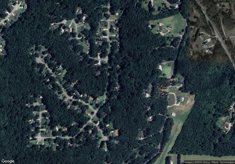
Map
Nearby Homes
- 321 Stratford Dr
- 291 Stratford Dr
- 329 Stratford Dr
- 267 Stratford Dr
- 361 Stratford Dr
- 302 Stratford Dr
- 255 Stratford Dr
- 370 Stratford Dr
- 370 Stratford Dr Unit 13
- 17 Rigby Way
- 371 Stratford Dr
- 354 Rocky Ridge Dr
- 30 Shefield Place
- 0 Shefield Place Unit 8623049
- 0 Shefield Place Unit 8555478
- 0 Shefield Place Unit 8512715
- 0 Shefield Place Unit 8804660
- 0 Shefield Place Unit 8557584
- 0 Shefield Place Unit 8291901
- 0 Shefield Place Unit 9065779