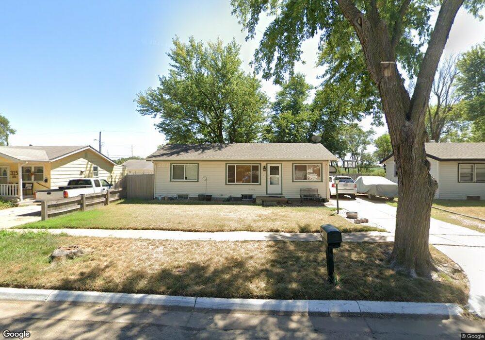
321 W 7th St Haysville, KS 67060
Estimated Value: $174,244 - $182,000
3
Beds
2
Baths
1,660
Sq Ft
$107/Sq Ft
Est. Value
About This Home
This home is located at 321 W 7th St, Haysville, KS 67060 and is currently estimated at $178,122, approximately $107 per square foot. 321 W 7th St is a home located in Sedgwick County with nearby schools including Freeman Elementary School, Haysville Middle School, and Campus High School.
Ownership History
Date
Name
Owned For
Owner Type
Purchase Details
Closed on
Sep 30, 2008
Sold by
Lawrence T J and Lawrence Billie Jo
Bought by
Craft Daniel R
Current Estimated Value
Home Financials for this Owner
Home Financials are based on the most recent Mortgage that was taken out on this home.
Original Mortgage
$89,639
Outstanding Balance
$51,865
Interest Rate
6.52%
Mortgage Type
FHA
Estimated Equity
$126,257
Purchase Details
Closed on
Dec 21, 2005
Sold by
Lawrence T J
Bought by
Haun Leah
Create a Home Valuation Report for This Property
The Home Valuation Report is an in-depth analysis detailing your home's value as well as a comparison with similar homes in the area
Home Values in the Area
Average Home Value in this Area
Purchase History
| Date | Buyer | Sale Price | Title Company |
|---|---|---|---|
| Craft Daniel R | -- | None Available | |
| Haun Leah | -- | None Available |
Source: Public Records
Mortgage History
| Date | Status | Borrower | Loan Amount |
|---|---|---|---|
| Open | Craft Daniel R | $89,639 |
Source: Public Records
Tax History Compared to Growth
Tax History
| Year | Tax Paid | Tax Assessment Tax Assessment Total Assessment is a certain percentage of the fair market value that is determined by local assessors to be the total taxable value of land and additions on the property. | Land | Improvement |
|---|---|---|---|---|
| 2025 | $1,606 | $13,904 | $3,117 | $10,787 |
| 2023 | $1,606 | $12,271 | $1,967 | $10,304 |
| 2022 | $1,772 | $12,271 | $1,852 | $10,419 |
| 2021 | $1,733 | $11,708 | $1,852 | $9,856 |
| 2020 | $1,639 | $10,903 | $1,852 | $9,051 |
| 2019 | $1,581 | $10,477 | $1,852 | $8,625 |
| 2018 | $1,494 | $9,982 | $1,449 | $8,533 |
| 2017 | $1,441 | $0 | $0 | $0 |
| 2016 | $1,399 | $0 | $0 | $0 |
| 2015 | $1,399 | $0 | $0 | $0 |
| 2014 | $1,402 | $0 | $0 | $0 |
Source: Public Records
Map
Nearby Homes
- 449 W 4th St
- 415 Spring Dr
- 221 River Birch St
- 2200-2202 E Plaza Ct
- 2114-2116 E Plaza Ct
- 2120-2122 E Plaza Ct
- 2108-2110 E Plaza Ct
- 2100 E Plaza Ct
- 2100-2102 E Plaza Ct
- 242 Wire Ave
- 1204 W Leonard St
- 214 Stearns Ave
- 238 Western Ave
- 200 Sunset Ave
- 1038 W 81st St S
- 181 Sunset Ave
- 150 Sunset Ave
- 115 Hungerford Ave
- 504 S Shira Cir
- 616 E Peach Ave