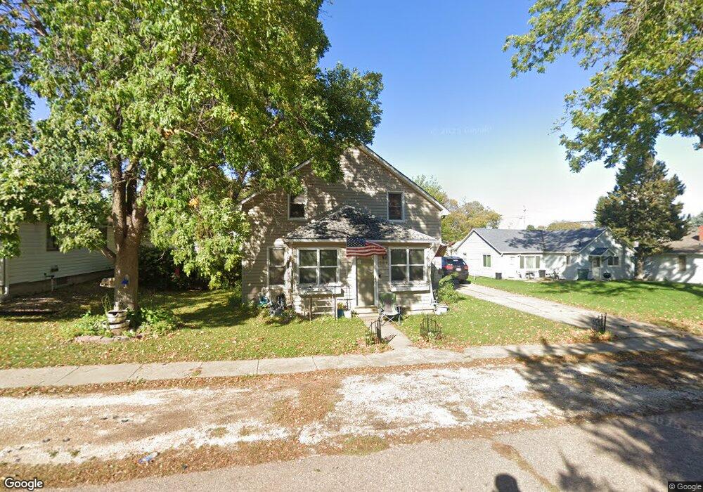
321 Webster St Merrill, IA 51038
Estimated Value: $152,000 - $176,736
4
Beds
2
Baths
1,318
Sq Ft
$125/Sq Ft
Est. Value
About This Home
This home is located at 321 Webster St, Merrill, IA 51038 and is currently estimated at $164,684, approximately $124 per square foot. 321 Webster St is a home located in Plymouth County with nearby schools including Le Mars High School.
Ownership History
Date
Name
Owned For
Owner Type
Purchase Details
Closed on
Aug 19, 2011
Sold by
Kettmann Jeremy J and Kettmann Amy J
Bought by
Foreman Christopher P and Foreman Kristie L
Current Estimated Value
Home Financials for this Owner
Home Financials are based on the most recent Mortgage that was taken out on this home.
Original Mortgage
$101,430
Outstanding Balance
$70,044
Interest Rate
4.59%
Mortgage Type
New Conventional
Estimated Equity
$94,640
Purchase Details
Closed on
Oct 11, 2007
Sold by
Glenn Donald C and Glenn Renee C
Bought by
Kettmann Jeremy J and Kettmann Amy J
Home Financials for this Owner
Home Financials are based on the most recent Mortgage that was taken out on this home.
Original Mortgage
$94,500
Interest Rate
6.5%
Mortgage Type
New Conventional
Create a Home Valuation Report for This Property
The Home Valuation Report is an in-depth analysis detailing your home's value as well as a comparison with similar homes in the area
Home Values in the Area
Average Home Value in this Area
Purchase History
| Date | Buyer | Sale Price | Title Company |
|---|---|---|---|
| Foreman Christopher P | $98,000 | None Available | |
| Kettmann Jeremy J | $94,500 | None Available |
Source: Public Records
Mortgage History
| Date | Status | Borrower | Loan Amount |
|---|---|---|---|
| Open | Foreman Christopher P | $101,430 | |
| Closed | Kettmann Jeremy J | $94,500 |
Source: Public Records
Tax History Compared to Growth
Tax History
| Year | Tax Paid | Tax Assessment Tax Assessment Total Assessment is a certain percentage of the fair market value that is determined by local assessors to be the total taxable value of land and additions on the property. | Land | Improvement |
|---|---|---|---|---|
| 2025 | $1,884 | $171,090 | $20,080 | $151,010 |
| 2024 | $1,534 | $154,030 | $20,080 | $133,950 |
| 2023 | $1,436 | $146,570 | $11,710 | $134,860 |
| 2022 | $1,390 | $115,150 | $11,710 | $103,440 |
| 2021 | $1,258 | $115,150 | $11,710 | $103,440 |
| 2020 | $1,258 | $101,700 | $11,710 | $89,990 |
| 2019 | -- | $101,700 | $11,710 | $89,990 |
| 2018 | -- | $95,090 | $11,710 | $83,380 |
| 2017 | -- | $95,200 | $0 | $0 |
| 2016 | -- | $95,200 | $0 | $0 |
| 2015 | -- | $85,690 | $0 | $0 |
| 2014 | -- | $0 | $0 | $0 |
Source: Public Records
Map
Nearby Homes
- 320 Webster St
- 220 6th St
- 535 Main St
- 119 Calhoun St
- Lot 3 Sweetwater Ct
- 620 Lynn Dr
- LOT 16 Jade Ave
- LOT 5 Jade Ave
- LOT 19 Jade Ave
- Lot 1 Sweetwater Ct
- Lot 4 Sweetwater Ct
- 25324 Impala Ave
- 2361 18th St SW
- 26472 Lynx Ave
- 423 Countryside Dr
- 2490 5th Ave SE
- 0 Dogwood 3rd W Addition Lots 22-39 Unit 818163
- 1225 3rd Ave SW
- 0 Dogwood 3rd E Addition Lots 1-21 and 40-58 Unit 816507
- 533 12th Ave SW