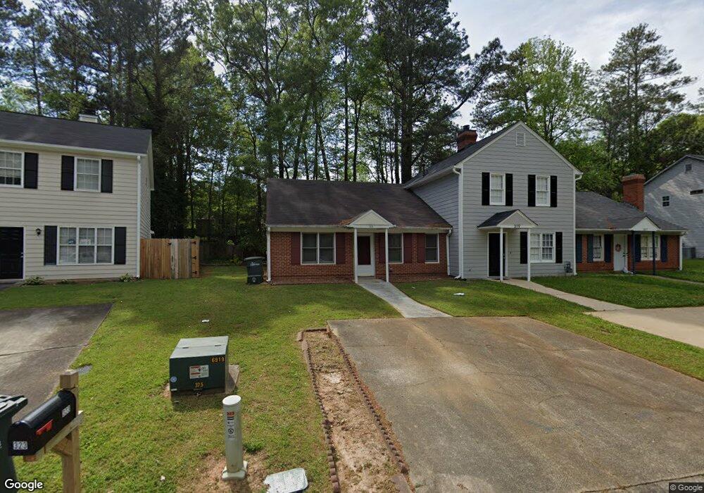
321 Westland Way SW Marietta, GA 30064
Southwestern Marietta NeighborhoodEstimated Value: $214,043 - $249,000
2
Beds
2
Baths
1,064
Sq Ft
$220/Sq Ft
Est. Value
About This Home
This home is located at 321 Westland Way SW, Marietta, GA 30064 and is currently estimated at $234,261, approximately $220 per square foot. 321 Westland Way SW is a home located in Cobb County with nearby schools including A.L. Burruss Elementary School, Marietta Sixth Grade Academy, and Marietta Middle School.
Ownership History
Date
Name
Owned For
Owner Type
Purchase Details
Closed on
Dec 20, 2005
Sold by
Vance Elizabeth J
Bought by
Jones Deandrea
Current Estimated Value
Home Financials for this Owner
Home Financials are based on the most recent Mortgage that was taken out on this home.
Original Mortgage
$91,900
Outstanding Balance
$54,737
Interest Rate
7.5%
Mortgage Type
New Conventional
Estimated Equity
$179,524
Create a Home Valuation Report for This Property
The Home Valuation Report is an in-depth analysis detailing your home's value as well as a comparison with similar homes in the area
Home Values in the Area
Average Home Value in this Area
Purchase History
| Date | Buyer | Sale Price | Title Company |
|---|---|---|---|
| Jones Deandrea | $91,900 | -- |
Source: Public Records
Mortgage History
| Date | Status | Borrower | Loan Amount |
|---|---|---|---|
| Open | Jones Deandrea | $91,900 |
Source: Public Records
Tax History Compared to Growth
Tax History
| Year | Tax Paid | Tax Assessment Tax Assessment Total Assessment is a certain percentage of the fair market value that is determined by local assessors to be the total taxable value of land and additions on the property. | Land | Improvement |
|---|---|---|---|---|
| 2025 | $53 | $96,176 | $34,000 | $62,176 |
| 2024 | $53 | $96,176 | $34,000 | $62,176 |
| 2023 | $0 | $61,036 | $20,000 | $41,036 |
| 2022 | $53 | $61,036 | $20,000 | $41,036 |
| 2021 | $60 | $50,004 | $20,000 | $30,004 |
| 2020 | $58 | $38,004 | $8,000 | $30,004 |
| 2019 | $58 | $38,004 | $8,000 | $30,004 |
| 2018 | $58 | $33,372 | $8,000 | $25,372 |
| 2017 | $47 | $31,372 | $6,000 | $25,372 |
| 2016 | $47 | $23,340 | $4,000 | $19,340 |
| 2015 | $54 | $23,340 | $4,000 | $19,340 |
| 2014 | $56 | $23,340 | $0 | $0 |
Source: Public Records
Map
Nearby Homes
- 199 Hickory Walk SW
- 920 Westland Dr SW
- 207 Westland Cir SW
- 594 Manning Rd SW
- 106 Westland Ct SW
- 181 Brighton Ct SW
- 560 Manning Rd SW
- 1141 Whitlock Ave NW
- 260 Manning Rd SW Unit 110
- 798 Sentinel Ridge SW
- 834 Cannon Run SW
- 839 Manning Villas Ct SW
- 873 Cavalry Dr SW
- 838 Cannon Run SW
- 1161 Rockmann Terrace SW
- 332 Rockmann Ln SW
- 927 Burnt Hickory Cir NW Unit 10
- 319 Westland Way SW
- 317 Westland Way SW
- 323 Westland Way SW
- 325 Westland Way SW
- 327 Westland Way SW
- 350 Hickory Walk SW
- 311 Westland Way SW Unit 315
- 340 Hickory Walk SW
- 330 Westland Way SW
- 332 Westland Way SW
- 360 Hickory Walk SW
- 329 Westland Way SW
- 331 Westland Way SW Unit B
- 318 Westland Way SW Unit 318
- 318 Westland Way SW
- 318 Westland Way SW
- 318 Westland Way SW
- 316 Westland Way SW
- 320 Westland Way SW
- 320 Westland Way SW Unit 320