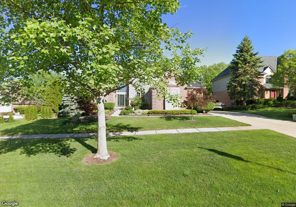
321 Wyngate Dr Rochester, MI 48307
Estimated Value: $824,345 - $921,000
4
Beds
4
Baths
3,762
Sq Ft
$234/Sq Ft
Est. Value
About This Home
This home is located at 321 Wyngate Dr, Rochester, MI 48307 and is currently estimated at $882,086, approximately $234 per square foot. 321 Wyngate Dr is a home located in Oakland County with nearby schools including Hart Middle School, North Hill Elementary School, and Stoney Creek High School.
Ownership History
Date
Name
Owned For
Owner Type
Purchase Details
Closed on
Nov 21, 1997
Sold by
Mjc Builders Of Troy Inc
Bought by
Preston Robert C
Current Estimated Value
Home Financials for this Owner
Home Financials are based on the most recent Mortgage that was taken out on this home.
Original Mortgage
$200,000
Outstanding Balance
$33,346
Interest Rate
7.46%
Estimated Equity
$848,740
Create a Home Valuation Report for This Property
The Home Valuation Report is an in-depth analysis detailing your home's value as well as a comparison with similar homes in the area
Home Values in the Area
Average Home Value in this Area
Purchase History
| Date | Buyer | Sale Price | Title Company |
|---|---|---|---|
| Preston Robert C | $421,000 | -- |
Source: Public Records
Mortgage History
| Date | Status | Borrower | Loan Amount |
|---|---|---|---|
| Open | Preston Robert C | $200,000 |
Source: Public Records
Tax History Compared to Growth
Tax History
| Year | Tax Paid | Tax Assessment Tax Assessment Total Assessment is a certain percentage of the fair market value that is determined by local assessors to be the total taxable value of land and additions on the property. | Land | Improvement |
|---|---|---|---|---|
| 2024 | $8,210 | $351,250 | $0 | $0 |
| 2023 | $7,862 | $329,620 | $0 | $0 |
| 2022 | $8,363 | $311,080 | $0 | $0 |
| 2021 | $7,856 | $302,340 | $0 | $0 |
| 2020 | $7,377 | $287,130 | $0 | $0 |
| 2019 | $8,110 | $280,810 | $0 | $0 |
| 2018 | $8,099 | $275,530 | $0 | $0 |
| 2017 | $7,941 | $278,160 | $0 | $0 |
| 2016 | $7,689 | $271,060 | $0 | $0 |
| 2015 | -- | $258,050 | $0 | $0 |
| 2014 | -- | $245,890 | $0 | $0 |
| 2011 | -- | $209,090 | $0 | $0 |
Source: Public Records
Map
Nearby Homes
- 620 Appoline Ct
- 1688 Deepwood Cir
- 1874 Flagstone Cir
- 1850 Flagstone Cir Unit 53
- 628 Springview Dr Unit 120
- 674 Springview Dr
- 1985 Monarch Dr Unit 7
- 2239 Regency Hills Dr
- 2113 Marissa Way Unit 99
- 2282 Kingscross Dr
- 1322 Copper Cir Unit 26
- 54673 Marissa Way Unit 93
- 53266 Garland Dr
- 2156 Willow Cir
- 1022 Pointe Place Blvd
- 2156 Austin Dr
- 1955 Clearwood Ct Unit 665
- 1983 Dunham Dr
- 54127 Salem Dr
- 767 E Bluff Ct Unit 7
- 327 Wyngate Dr
- 404 Springview Dr
- 1632 Springview Ct
- 333 Wyngate Dr
- 1648 Springview Ct
- 416 Springview Dr
- 320 Wyngate Dr
- 326 Wyngate Dr
- 339 Wyngate Dr
- 1626 Springview Ct
- 332 Wyngate Dr
- 291 Wyngate Dr
- 1616 Springview Ct
- 1643 Springview Ct
- 338 Wyngate Dr
- 345 Wyngate Dr
- 409 Springview Dr
- 415 Springview Dr
- 428 Springview Dr
- 1631 Springview Ct