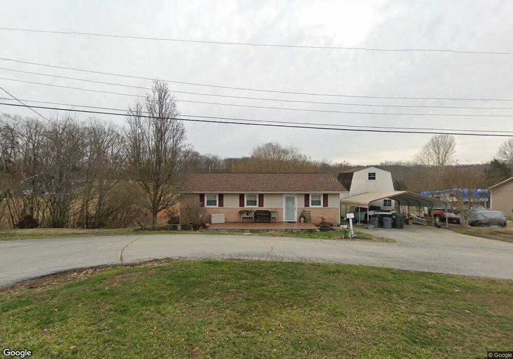
3210 Isaac St Kingsport, TN 37660
Bloomingdale NeighborhoodEstimated Value: $135,542 - $196,000
--
Bed
1
Bath
900
Sq Ft
$195/Sq Ft
Est. Value
About This Home
This home is located at 3210 Isaac St, Kingsport, TN 37660 and is currently estimated at $175,386, approximately $194 per square foot. 3210 Isaac St is a home located in Sullivan County with nearby schools including Ketron Elementary School, Sullivan South High School, and Appalachian Christian School.
Ownership History
Date
Name
Owned For
Owner Type
Purchase Details
Closed on
Apr 13, 2007
Sold by
Davis Larry W
Bought by
Davis Christopher C
Current Estimated Value
Home Financials for this Owner
Home Financials are based on the most recent Mortgage that was taken out on this home.
Original Mortgage
$82,410
Outstanding Balance
$49,690
Interest Rate
6.1%
Estimated Equity
$125,696
Purchase Details
Closed on
May 1, 2001
Sold by
Davis Larry W
Bought by
Williams Phyllis A
Purchase Details
Closed on
May 24, 1995
Sold by
Gore Frankie A
Bought by
Frankie Hammonds
Create a Home Valuation Report for This Property
The Home Valuation Report is an in-depth analysis detailing your home's value as well as a comparison with similar homes in the area
Home Values in the Area
Average Home Value in this Area
Purchase History
| Date | Buyer | Sale Price | Title Company |
|---|---|---|---|
| Davis Christopher C | $79,500 | -- | |
| Williams Phyllis A | -- | -- | |
| Frankie Hammonds | $20,000 | -- |
Source: Public Records
Mortgage History
| Date | Status | Borrower | Loan Amount |
|---|---|---|---|
| Open | Frankie Hammonds | $82,410 |
Source: Public Records
Tax History Compared to Growth
Tax History
| Year | Tax Paid | Tax Assessment Tax Assessment Total Assessment is a certain percentage of the fair market value that is determined by local assessors to be the total taxable value of land and additions on the property. | Land | Improvement |
|---|---|---|---|---|
| 2024 | $489 | $19,575 | $4,325 | $15,250 |
| 2023 | $471 | $19,575 | $4,325 | $15,250 |
| 2022 | $471 | $19,575 | $4,325 | $15,250 |
| 2021 | $471 | $19,575 | $4,325 | $15,250 |
| 2020 | $481 | $19,575 | $4,325 | $15,250 |
| 2019 | $481 | $18,700 | $4,325 | $14,375 |
| 2018 | $477 | $18,700 | $4,325 | $14,375 |
| 2017 | $477 | $18,700 | $4,325 | $14,375 |
| 2016 | $422 | $16,400 | $4,325 | $12,075 |
| 2014 | $378 | $16,406 | $0 | $0 |
Source: Public Records
Map
Nearby Homes
- 503 New Beason Well Rd
- 2804 Carrollwood Heights Rd
- 712 New Beason Well Rd
- 800 New Beason Well Rd
- 313 Milburn Ave
- 116 Orange St
- Tbd Norma Dr
- 2733 Prestwick Ct
- 1764 Buckingham Ct
- 1009 Gloucester Ct
- 132 Packing House Rd
- 1020 Hanover Ct
- 117 Asbury St
- 3137 Bloomingdale Rd
- 129 Holcomb St
- 1000 Windridge Dr
- 2008 Timbers Edge Ct Unit 8
- 1001 Sunny Place
- 3336 Adaline St
- Tbd E Stone Dr
- 3206 Isaac St
- 3212 Isaac St
- 3207 Isaac St
- 3204 Capri St
- 3343 Wil Rho Cir
- 3208 Capri St
- 444 Old Beason Well Rd
- 3342 Wil Rho Cir
- 432 Old Beason Well Rd
- 3205 Capri St
- 3216 Capri St
- 448 Old Beason Well Rd
- 443 Old Beason Well Rd
- 433 Old Beason Well Rd
- 3217 Capri St
- 452 Old Beason Well Rd
- 3220 Capri St
- 3061 Lowrance Dr
- 3229 Capri St
- 3057 Lowrance Dr