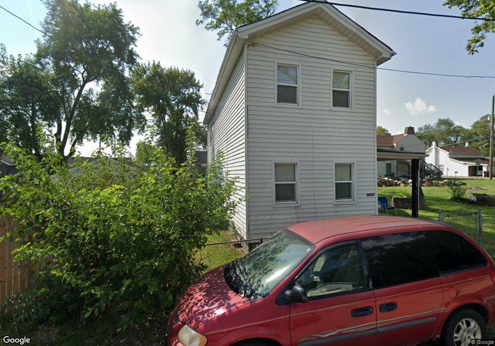
3210 Mulberry St Middletown, OH 45044
Amanda-Oneida NeighborhoodEstimated Value: $38,540 - $149,000
2
Beds
2
Baths
1,144
Sq Ft
$102/Sq Ft
Est. Value
About This Home
This home is located at 3210 Mulberry St, Middletown, OH 45044 and is currently estimated at $116,385, approximately $101 per square foot. 3210 Mulberry St is a home located in Butler County with nearby schools including Amanda Elementary School, Highview 6th Grade Center, and Middletown Middle School.
Ownership History
Date
Name
Owned For
Owner Type
Purchase Details
Closed on
Dec 14, 2018
Sold by
Reid Jerry M and Reid Mary E
Bought by
Roberts Todd
Current Estimated Value
Purchase Details
Closed on
Aug 9, 2010
Sold by
M & I Regional Properties Llc
Bought by
Reid Jerry M
Home Financials for this Owner
Home Financials are based on the most recent Mortgage that was taken out on this home.
Original Mortgage
$14,400
Interest Rate
4.6%
Mortgage Type
New Conventional
Purchase Details
Closed on
Jan 27, 2010
Sold by
Mays Robyn
Bought by
M & I Regional Properties Llc
Create a Home Valuation Report for This Property
The Home Valuation Report is an in-depth analysis detailing your home's value as well as a comparison with similar homes in the area
Home Values in the Area
Average Home Value in this Area
Purchase History
| Date | Buyer | Sale Price | Title Company |
|---|---|---|---|
| Roberts Todd | $20,000 | Prodigy Title Agency | |
| Reid Jerry M | $18,000 | Sovereign Title Agency Llc | |
| M & I Regional Properties Llc | $41,000 | Attorney |
Source: Public Records
Mortgage History
| Date | Status | Borrower | Loan Amount |
|---|---|---|---|
| Previous Owner | Reid Jerry M | $14,400 |
Source: Public Records
Tax History Compared to Growth
Tax History
| Year | Tax Paid | Tax Assessment Tax Assessment Total Assessment is a certain percentage of the fair market value that is determined by local assessors to be the total taxable value of land and additions on the property. | Land | Improvement |
|---|---|---|---|---|
| 2024 | $1,451 | $27,610 | $6,350 | $21,260 |
| 2023 | $1,440 | $27,610 | $6,350 | $21,260 |
| 2022 | $1,324 | $22,100 | $6,350 | $15,750 |
| 2021 | $1,282 | $22,100 | $6,350 | $15,750 |
| 2020 | $1,335 | $22,100 | $6,350 | $15,750 |
| 2019 | $1,247 | $17,250 | $6,340 | $10,910 |
| 2018 | $1,139 | $17,250 | $6,340 | $10,910 |
| 2017 | $1,141 | $17,250 | $6,340 | $10,910 |
| 2016 | $1,160 | $17,250 | $6,340 | $10,910 |
| 2015 | $1,119 | $17,250 | $6,340 | $10,910 |
| 2014 | $1,086 | $17,250 | $6,340 | $10,910 |
| 2013 | $1,086 | $17,820 | $6,340 | $11,480 |
Source: Public Records
Map
Nearby Homes
- 0 Jackson St Unit 895859
- 0 Jackson St Unit 1780028
- 1102 Forrer St
- 720 Diamond Loop
- 3109 Locust St
- 3113 Rufus St
- 3107 Rufus St
- 3209 Rufus St
- 514 Granada Ave
- 712 Buena Ave
- 3620 S Main St
- 2900 Morgan St
- 1613 Sheridan Ave
- 1602 Oxford State Rd
- 1702 Glenwood Ave
- 1709 Oxford State Rd
- 2004 Minnesota St
- 1717 Pershing Ave
- 1511 Meadow Ave
- 3221 Yankee Rd
- 915 Oxford State Rd
- 3211 3211 Harrison St
- 3211 Harrison St
- 911 Oxford State Rd
- 916 Forrer St
- 918 Forrer St
- 921 Oxford State Rd
- 920 Forrer St
- 3125 Harrison St
- 3125 Harrison St Unit 2
- 3201 Harrison St
- 3123 Harrison St
- 918 Oxford State Rd
- 3202 Harrison St
- 3217 S Verity Pkwy
- 1/2 Forrer St
- 1001 Jackson Ln
- 926 Oxford State Rd
- 1000 Forrer St
- 3118 Harrison St