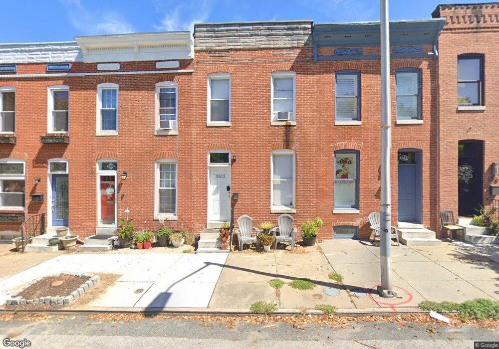
3212 Foster Ave Baltimore, MD 21224
Canton NeighborhoodEstimated Value: $275,000 - $278,928
2
Beds
1
Bath
1,318
Sq Ft
$210/Sq Ft
Est. Value
About This Home
This home is located at 3212 Foster Ave, Baltimore, MD 21224 and is currently estimated at $276,964, approximately $210 per square foot. 3212 Foster Ave is a home located in Baltimore City with nearby schools including Booker T. Washington Middle School, Paul Laurence Dunbar High School, and Patterson High School.
Ownership History
Date
Name
Owned For
Owner Type
Purchase Details
Closed on
Jan 29, 2015
Sold by
Clearwater Properties Llc
Bought by
Noonan Patrick John and Noonan John Patrick
Current Estimated Value
Purchase Details
Closed on
Aug 6, 2007
Sold by
International Asset Group
Bought by
International Asset Group and Limited Liability Company
Purchase Details
Closed on
Aug 23, 2006
Sold by
Riggle Anne
Bought by
International Asset Group and Llc
Purchase Details
Closed on
Sep 7, 1999
Sold by
Carrick Kimberly A
Bought by
Riggie Anne
Create a Home Valuation Report for This Property
The Home Valuation Report is an in-depth analysis detailing your home's value as well as a comparison with similar homes in the area
Home Values in the Area
Average Home Value in this Area
Purchase History
| Date | Buyer | Sale Price | Title Company |
|---|---|---|---|
| Noonan Patrick John | $163,500 | Masters Title & Escrow | |
| International Asset Group | -- | -- | |
| International Asset Group | -- | -- | |
| Riggie Anne | $82,700 | -- |
Source: Public Records
Tax History Compared to Growth
Tax History
| Year | Tax Paid | Tax Assessment Tax Assessment Total Assessment is a certain percentage of the fair market value that is determined by local assessors to be the total taxable value of land and additions on the property. | Land | Improvement |
|---|---|---|---|---|
| 2025 | $4,475 | $198,300 | $110,000 | $88,300 |
| 2024 | $4,475 | $190,533 | $0 | $0 |
| 2023 | $4,293 | $182,767 | $0 | $0 |
| 2022 | $4,359 | $184,700 | $110,000 | $74,700 |
| 2021 | $4,243 | $179,800 | $0 | $0 |
| 2020 | $4,128 | $174,900 | $0 | $0 |
| 2019 | $3,993 | $170,000 | $110,000 | $60,000 |
| 2018 | $4,044 | $171,367 | $0 | $0 |
| 2017 | $3,921 | $166,133 | $0 | $0 |
| 2016 | $3,811 | $152,900 | $0 | $0 |
| 2015 | $3,811 | $167,600 | $0 | $0 |
| 2014 | $3,811 | $146,300 | $0 | $0 |
Source: Public Records
Map
Nearby Homes
- 3215 Fleet St
- 607 S Bouldin St
- 3236 Foster Ave
- 3211 Eastern Ave
- 615 S Clinton St
- 3229 Foster Ave
- 3127 Foster Ave
- 3119 Eastern Ave
- 706 S Clinton St
- 3104 Foster Ave
- 3322 Fleet St
- 3301 Foster Ave
- 3303 Foster Ave
- 505 S Ellwood Ave
- 516 S Highland Ave
- 622 S Ellwood Ave
- 3228 Fait Ave
- 615 S Decker Ave
- 509 S Decker Ave
- 501 S Decker Ave
- 3214 Foster Ave
- 3210 Foster Ave
- 3216 Foster Ave
- 3208 Foster Ave
- 3206 Foster Ave
- 3218 Foster Ave
- 3204 Foster Ave
- 3220 Foster Ave
- 618 S Bouldin St
- 618 S Bouldin St
- 3202 Foster Ave
- 616 S Bouldin St
- 617 S East Ave
- 3200 Foster Ave
- 614 S Bouldin St
- 615 S East Ave
- 612 S Bouldin St
- 613 S East Ave
- 611 S East Ave
- 3222 Foster Ave