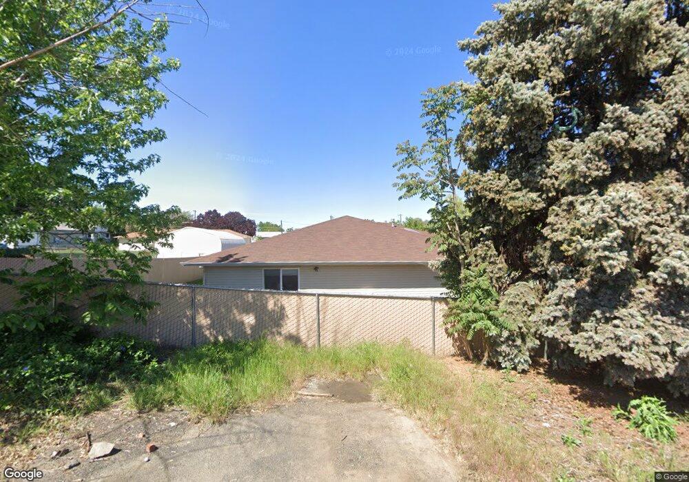
3213 5th St Unit H Lewiston, ID 83501
Estimated Value: $253,000 - $314,000
2
Beds
2
Baths
1,226
Sq Ft
$224/Sq Ft
Est. Value
About This Home
This home is located at 3213 5th St Unit H, Lewiston, ID 83501 and is currently estimated at $274,997, approximately $224 per square foot. 3213 5th St Unit H is a home located in Nez Perce County with nearby schools including McGhee Elementary School, Lewiston High School, and Beacon Christian School.
Ownership History
Date
Name
Owned For
Owner Type
Purchase Details
Closed on
Mar 11, 2025
Sold by
Brown Lowell C and Brown Aaron
Bought by
Brumbaugh Jack B and Brumbaugh Katherine L
Current Estimated Value
Home Financials for this Owner
Home Financials are based on the most recent Mortgage that was taken out on this home.
Original Mortgage
$216,000
Outstanding Balance
$214,899
Interest Rate
6.89%
Mortgage Type
New Conventional
Estimated Equity
$60,098
Purchase Details
Closed on
Apr 17, 2018
Sold by
Burns Dona M
Bought by
Rogers Property Management Llc
Create a Home Valuation Report for This Property
The Home Valuation Report is an in-depth analysis detailing your home's value as well as a comparison with similar homes in the area
Home Values in the Area
Average Home Value in this Area
Purchase History
| Date | Buyer | Sale Price | Title Company |
|---|---|---|---|
| Brumbaugh Jack B | -- | Titleone | |
| Rogers Property Management Llc | -- | Alliance Title |
Source: Public Records
Mortgage History
| Date | Status | Borrower | Loan Amount |
|---|---|---|---|
| Open | Brumbaugh Jack B | $216,000 |
Source: Public Records
Tax History Compared to Growth
Tax History
| Year | Tax Paid | Tax Assessment Tax Assessment Total Assessment is a certain percentage of the fair market value that is determined by local assessors to be the total taxable value of land and additions on the property. | Land | Improvement |
|---|---|---|---|---|
| 2025 | $1,640 | $252,560 | $252,560 | $0 |
| 2024 | $15 | $215,130 | $215,130 | $0 |
| 2023 | $2,830 | $184,426 | $184,426 | $0 |
| 2022 | $3,053 | $181,539 | $181,539 | $0 |
| 2021 | $2,699 | $137,041 | $137,041 | $0 |
| 2020 | $2,685 | $135,876 | $135,876 | $0 |
| 2019 | $2,801 | $129,271 | $0 | $129,271 |
| 2018 | $1,219 | $111,599 | $0 | $111,599 |
| 2017 | $1,033 | $0 | $0 | $0 |
| 2016 | $213 | $0 | $0 | $0 |
| 2015 | $239 | $0 | $0 | $0 |
| 2014 | $127 | $102,823 | $0 | $102,823 |
Source: Public Records
Map
Nearby Homes
- 525 Park Ave
- 3228 5th St
- 0000 Warner Dr
- TBD 6th St
- 3327 4th St
- 344 Park Dr
- 404 Linden Dr
- 709 Park Ave
- 3119 7th St
- 1533 Vineyard Dr
- 3434 5th St Unit B
- 523 Burrell Ave
- 2936 Mayfair Ridge
- 628 Airway Dr
- 812 Preston Ave
- 2956 Mayfair Ridge
- 3216 Blackhawk Ct
- 811 Park Dr
- 3217 Blackhawk Ct
- 628 Burrell Ave Unit 7
- 3213 5th St Unit J
- 3213 5th St Unit I
- 3213 5th St Unit G
- 3213 5th St Unit F
- 3213 5th St Unit E
- 3213 5th St Unit D
- 3213 5th St Unit C
- 3213 5th St Unit B
- 3213 5th St Unit A
- 3213 5th St Unit H
- 3213 5th St
- 3213 5th St
- 210 S Garden Ct
- 208 S Garden Ct
- 507 Park Ave
- 3217 5th St
- 3209 5th St
- 511 Park Ave
- 3213 5th St
- 212 S Garden Ct