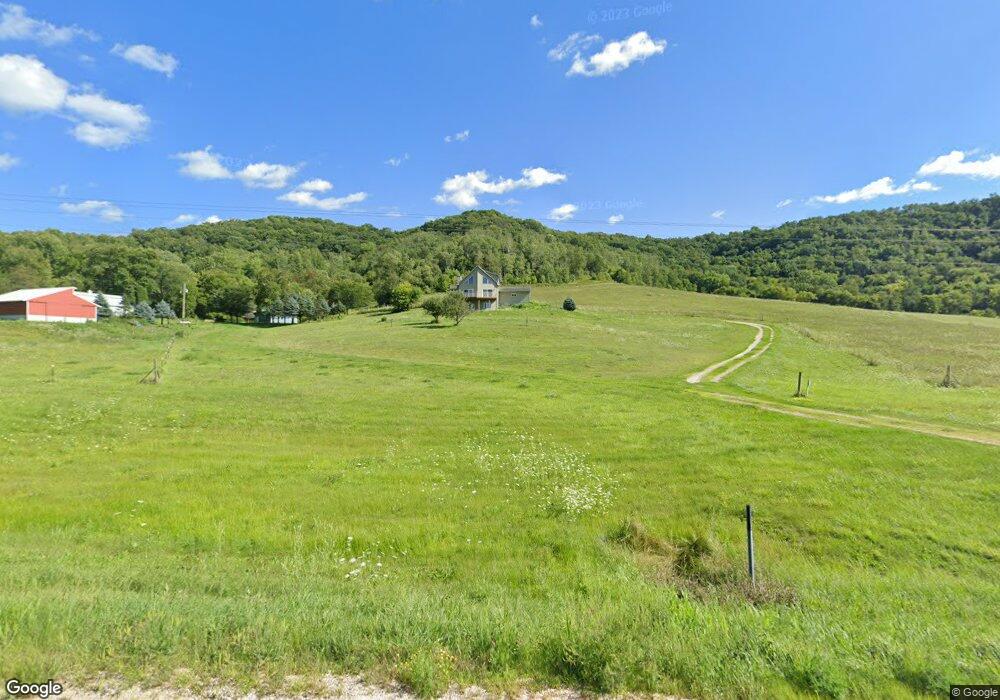
32136 Highway 76 Houston, MN 55943
Estimated Value: $569,000 - $644,000
3
Beds
3
Baths
2,450
Sq Ft
$244/Sq Ft
Est. Value
About This Home
This home is located at 32136 Highway 76, Houston, MN 55943 and is currently estimated at $599,004, approximately $244 per square foot. 32136 Highway 76 is a home located in Winona County with nearby schools including Houston Elementary School and Houston High School.
Ownership History
Date
Name
Owned For
Owner Type
Purchase Details
Closed on
Oct 25, 2016
Sold by
Beach Robin and Kornmeyer Doug
Bought by
Anderson Benjamin J and Docktor Jennifer L
Current Estimated Value
Home Financials for this Owner
Home Financials are based on the most recent Mortgage that was taken out on this home.
Original Mortgage
$336,000
Interest Rate
3.47%
Mortgage Type
New Conventional
Purchase Details
Closed on
Oct 30, 2015
Sold by
Tapp James V and Tapp Janet M
Bought by
Beach Robin and Komeyer Doug
Home Financials for this Owner
Home Financials are based on the most recent Mortgage that was taken out on this home.
Original Mortgage
$256,000
Interest Rate
3.82%
Mortgage Type
New Conventional
Create a Home Valuation Report for This Property
The Home Valuation Report is an in-depth analysis detailing your home's value as well as a comparison with similar homes in the area
Home Values in the Area
Average Home Value in this Area
Purchase History
| Date | Buyer | Sale Price | Title Company |
|---|---|---|---|
| Anderson Benjamin J | $356,000 | None Available | |
| Beach Robin | $320,000 | None Available |
Source: Public Records
Mortgage History
| Date | Status | Borrower | Loan Amount |
|---|---|---|---|
| Previous Owner | Anderson Benjamin J | $336,000 | |
| Previous Owner | Beach Robin | $256,000 |
Source: Public Records
Tax History Compared to Growth
Tax History
| Year | Tax Paid | Tax Assessment Tax Assessment Total Assessment is a certain percentage of the fair market value that is determined by local assessors to be the total taxable value of land and additions on the property. | Land | Improvement |
|---|---|---|---|---|
| 2025 | $5,586 | $556,000 | $154,300 | $401,700 |
| 2024 | $5,586 | $541,200 | $153,800 | $387,400 |
| 2023 | $5,152 | $535,100 | $153,600 | $381,500 |
| 2022 | $4,834 | $503,100 | $142,600 | $360,500 |
| 2021 | $4,874 | $438,600 | $117,400 | $321,200 |
| 2020 | $4,612 | $410,800 | $115,800 | $295,000 |
| 2019 | $5,042 | $410,800 | $115,800 | $295,000 |
| 2018 | $4,034 | $385,800 | $105,000 | $280,800 |
| 2017 | $4,046 | $0 | $0 | $0 |
| 2016 | $3,906 | $0 | $0 | $0 |
| 2015 | $3,906 | $0 | $0 | $0 |
| 2014 | $4,280 | $0 | $0 | $0 |
Source: Public Records
Map
Nearby Homes
- 32653 Stinson Ridge Rd
- tbd County 13 Rd
- TBD County 26
- 2740 Christianson Hill Rd
- 34506 Pleasant Point Dr
- 26283 Meadowbrook Ln
- TBD Lot 1 County Road 12
- 26228 Rocky Ridge Rd
- 0 Novlan Ave Unit NST6651709
- TBD River Dr
- 3681 Berland Rd
- TBD Lot 2 Waida Rd
- TBD Lot 3 Waida Rd
- TBD Lot 4 Waida Rd
- TBD Lot 5 Waida Rd
- River Dr
- Tbd County 26
- 169 Cobblestone Ln
- 105 N Money Creek St
- 0 E Burns Valley Rd Unit 1933975
- 32136 Highway 76
- 32136 Highway 76
- 31992 Highway 76
- 31992 Highway 76
- 31992 Highway 76
- 31992 Highway 76
- 31992 Highway 76
- 31992 Highway 76
- 31992 Highway 76
- 31992 Highway 76
- 31992 Highway 76
- 31992 Highway 76
- 31992 Highway 76
- 32476 Highway 76
- 33210 Wally Dr
- 31775 Highway 76
- 32734 Stinson Ridge Rd
- 31573 Highway 76
- 32614 Highway 76
- 31441 Highway 76