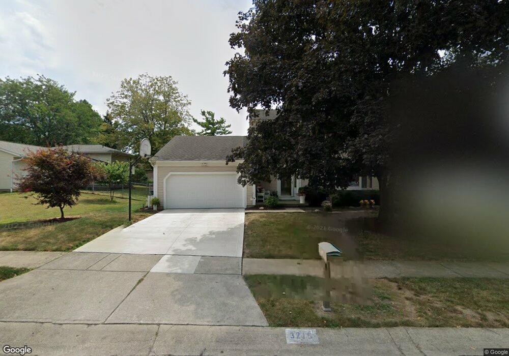
3215 Leesville Way Dublin, OH 43017
Riverside NeighborhoodEstimated Value: $397,437 - $417,000
4
Beds
3
Baths
1,900
Sq Ft
$213/Sq Ft
Est. Value
About This Home
This home is located at 3215 Leesville Way, Dublin, OH 43017 and is currently estimated at $404,109, approximately $212 per square foot. 3215 Leesville Way is a home located in Franklin County with nearby schools including Riverside Elementary School, Ann Simpson Davis Middle School, and Dublin Scioto High School.
Ownership History
Date
Name
Owned For
Owner Type
Purchase Details
Closed on
Dec 3, 1992
Bought by
Brown William T and Brown Jane A
Current Estimated Value
Purchase Details
Closed on
Aug 26, 1987
Create a Home Valuation Report for This Property
The Home Valuation Report is an in-depth analysis detailing your home's value as well as a comparison with similar homes in the area
Home Values in the Area
Average Home Value in this Area
Purchase History
| Date | Buyer | Sale Price | Title Company |
|---|---|---|---|
| Brown William T | $107,500 | -- | |
| -- | $98,000 | -- |
Source: Public Records
Tax History
| Year | Tax Paid | Tax Assessment Tax Assessment Total Assessment is a certain percentage of the fair market value that is determined by local assessors to be the total taxable value of land and additions on the property. | Land | Improvement |
|---|---|---|---|---|
| 2025 | $6,802 | $122,260 | $35,700 | $86,560 |
| 2024 | $6,802 | $122,260 | $35,700 | $86,560 |
| 2023 | $6,744 | $122,255 | $35,700 | $86,555 |
| 2022 | $5,296 | $91,290 | $29,230 | $62,060 |
| 2021 | $5,382 | $91,290 | $29,230 | $62,060 |
| 2020 | $5,350 | $91,290 | $29,230 | $62,060 |
| 2019 | $4,503 | $70,250 | $22,510 | $47,740 |
| 2018 | $4,941 | $70,250 | $22,510 | $47,740 |
| 2017 | $4,719 | $70,250 | $22,510 | $47,740 |
| 2016 | $4,690 | $65,170 | $16,170 | $49,000 |
| 2015 | $4,719 | $65,170 | $16,170 | $49,000 |
| 2014 | $4,723 | $65,170 | $16,170 | $49,000 |
| 2013 | $2,283 | $62,055 | $15,400 | $46,655 |
Source: Public Records
Map
Nearby Homes
- 3107 Hamden Ct
- 3263 Scioto Ridge Rd
- 6187 Water Bank St
- 6171 Water Bank St
- 5622 Riverside Dr
- 2985 Grandwoods Cir
- 6117 Maryhurst Dr
- 6074 Hildenboro Dr
- 3327 Wolf Ridge Dr
- 2926 Royalwood Dr
- 3064 Meadowsglen Ct
- 2960 Sawdust Ln Unit 2960
- 2942 Sawdust Ln Unit 2942
- 6304 Cherylbrook Ln Unit 6310
- 3143 Brampton St
- 3122 Tromley Ct
- 3177 Rimmer Dr
- 5935 Abbey Church Rd
- 5790 Newgate Rd Unit 5790
- 6418 Reflections Dr Unit A
- 3223 Leesville Way
- 3207 Leesville Way
- 3212 Middleboro Way
- 3231 Leesville Way
- 3224 Middleboro Way
- 3204 Middleboro Way
- 3216 Leesville Way
- 3208 Leesville Way
- 3232 Middleboro Way
- 3224 Leesville Way
- 3239 Leesville Way
- 3232 Leesville Way
- 3202 Leesville Way
- 3186 Leesville Way
- 3240 Middleboro Way
- 3182 Leesville Way
- 3190 Leesville Way
- 3240 Leesville Way
- 3178 Middleboro Way
- 3251 Leesville Way
Your Personal Tour Guide
Ask me questions while you tour the home.