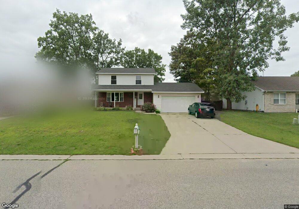
3219 Avondale St Port Huron, MI 48060
Estimated Value: $172,000 - $226,000
4
Beds
2
Baths
1,508
Sq Ft
$134/Sq Ft
Est. Value
About This Home
This home is located at 3219 Avondale St, Port Huron, MI 48060 and is currently estimated at $201,613, approximately $133 per square foot. 3219 Avondale St is a home located in St. Clair County with nearby schools including Cleveland Elementary School, Central Middle School, and Port Huron High School.
Ownership History
Date
Name
Owned For
Owner Type
Purchase Details
Closed on
Nov 14, 2023
Sold by
Dejohn Chad T and Dejohn Elizabeth M
Bought by
Nelson Elizabeth M
Current Estimated Value
Purchase Details
Closed on
May 15, 2014
Sold by
Richards Althea D
Bought by
Althea D Richards Living Trust
Purchase Details
Closed on
Mar 12, 2013
Sold by
Sheets David L and Sheets Kathleen M
Bought by
Richards Althea D and Althea D Richards Living Trust
Create a Home Valuation Report for This Property
The Home Valuation Report is an in-depth analysis detailing your home's value as well as a comparison with similar homes in the area
Home Values in the Area
Average Home Value in this Area
Purchase History
| Date | Buyer | Sale Price | Title Company |
|---|---|---|---|
| Nelson Elizabeth M | -- | None Listed On Document | |
| Nelson Travis | -- | None Listed On Document | |
| Althea D Richards Living Trust | -- | None Available | |
| Richards Althea D | -- | None Available |
Source: Public Records
Tax History Compared to Growth
Tax History
| Year | Tax Paid | Tax Assessment Tax Assessment Total Assessment is a certain percentage of the fair market value that is determined by local assessors to be the total taxable value of land and additions on the property. | Land | Improvement |
|---|---|---|---|---|
| 2025 | $2,757 | $101,400 | $0 | $0 |
| 2024 | $2,375 | $98,900 | $0 | $0 |
| 2023 | $2,243 | $87,700 | $0 | $0 |
| 2022 | $2,391 | $75,400 | $0 | $0 |
| 2021 | $2,269 | $64,300 | $0 | $0 |
| 2020 | $2,295 | $61,300 | $61,300 | $0 |
| 2019 | $2,254 | $44,500 | $0 | $0 |
| 2018 | $2,204 | $44,500 | $0 | $0 |
| 2017 | $1,673 | $40,400 | $0 | $0 |
| 2016 | $2,152 | $40,400 | $0 | $0 |
| 2015 | $2,112 | $41,200 | $41,200 | $0 |
| 2014 | $2,112 | $39,600 | $39,600 | $0 |
| 2013 | -- | $38,600 | $0 | $0 |
Source: Public Records
Map
Nearby Homes
- 3230 Ashland Ct
- 2506 Vanness St
- 2511 Vanness St
- 2513 Vanness St
- 2600 Vanness St
- 9999 Cleveland Ave
- 2702 Vanness St
- 3136 Military St
- 3830 Military St
- 2627 24th St
- 0 Dove Rd Unit G31368528
- 000 Gratiot Blvd
- 00 Gratiot Blvd
- 3104 Sturges St
- 69 Gratiot Blvd
- 3548 Cleveland St
- 9999 24th St
- 105 Gratiot Blvd
- 1403 Catherine McAuley Dr
- 2752 Military St
- 3207 Avondale St
- 3233 Avondale St
- 3210 Ashland Ct
- 3220 Ashland Ct
- 3131 Avondale St
- 2313 Ashland Ct
- 3303 Avondale St
- 3302 Ashland Ct
- 2306 Thornhill St
- 3109 Avondale St
- 3215 Ashland Ct
- 3209 Ashland Ct
- 3223 Ashland Ct
- 3203 Ashland Ct
- 2302 Ashland Ct
- 3231 Ashland Ct
- 2310 Ashland Ct
- 2316 Ashland Ct
- 2212 Thornhill St
- 2202 Thornhill St