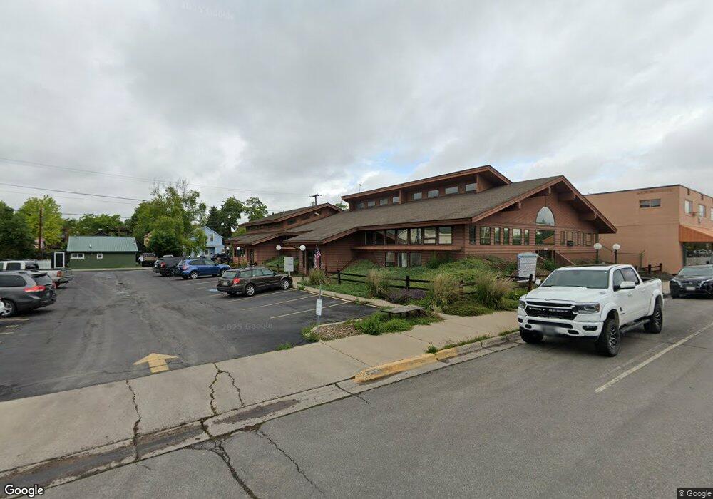
322 2nd Ave W Kalispell, MT 59901
Estimated Value: $1,491,571
Studio
--
Bath
600
Sq Ft
$2,486/Sq Ft
Est. Value
About This Home
This home is located at 322 2nd Ave W, Kalispell, MT 59901 and is currently estimated at $1,491,571, approximately $2,485 per square foot. 322 2nd Ave W is a home located in Flathead County with nearby schools including Elrod School, Kalispell Middle School, and Flathead High School.
Ownership History
Date
Name
Owned For
Owner Type
Purchase Details
Closed on
Mar 15, 2016
Sold by
Rasmussen Dennis and Rasmussen Beverly
Bought by
Rasmussen Scott and Rasmussen Robin
Current Estimated Value
Home Financials for this Owner
Home Financials are based on the most recent Mortgage that was taken out on this home.
Original Mortgage
$81,000
Interest Rate
3.72%
Mortgage Type
Seller Take Back
Purchase Details
Closed on
Apr 10, 2006
Sold by
Mohrenweiser Richard and Mohrenweiser Judy
Bought by
Credit & Professional Center Llc
Create a Home Valuation Report for This Property
The Home Valuation Report is an in-depth analysis detailing your home's value as well as a comparison with similar homes in the area
Purchase History
| Date | Buyer | Sale Price | Title Company |
|---|---|---|---|
| Rasmussen Scott | -- | None Available | |
| Credit & Professional Center Llc | -- | Alliance Title |
Source: Public Records
Mortgage History
| Date | Status | Borrower | Loan Amount |
|---|---|---|---|
| Closed | Rasmussen Scott | $81,000 |
Source: Public Records
Tax History
| Year | Tax Paid | Tax Assessment Tax Assessment Total Assessment is a certain percentage of the fair market value that is determined by local assessors to be the total taxable value of land and additions on the property. | Land | Improvement |
|---|---|---|---|---|
| 2025 | $24,690 | $2,094,100 | $0 | $0 |
| 2024 | $15,701 | $1,386,000 | $0 | $0 |
| 2023 | $17,876 | $1,386,000 | $0 | $0 |
| 2022 | $16,873 | $986,700 | $0 | $0 |
| 2021 | $15,286 | $986,700 | $0 | $0 |
| 2020 | $16,929 | $942,000 | $0 | $0 |
| 2019 | $16,981 | $942,000 | $0 | $0 |
| 2018 | $13,308 | $673,115 | $0 | $0 |
| 2017 | $13,332 | $673,115 | $0 | $0 |
| 2016 | $11,544 | $677,190 | $0 | $0 |
| 2015 | $11,544 | $677,190 | $0 | $0 |
| 2014 | $13,490 | $665,479 | $0 | $0 |
Source: Public Records
Map
Nearby Homes
Your Personal Tour Guide
Ask me questions while you tour the home.