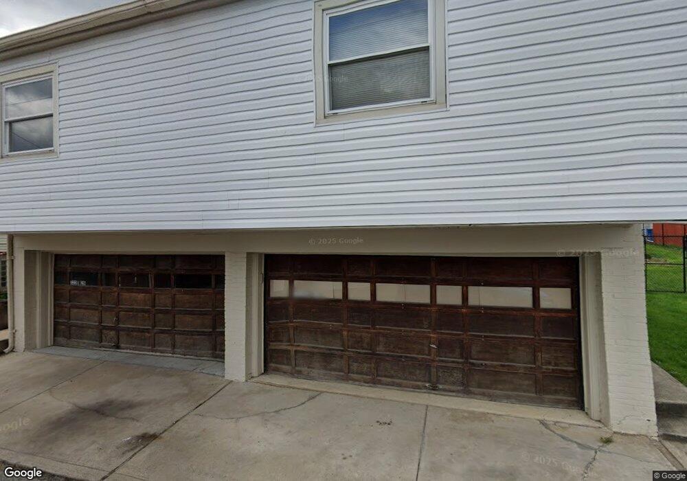
322 Emerson St Vandergrift, PA 15690
Estimated Value: $53,000 - $98,000
--
Bed
--
Bath
--
Sq Ft
3,006
Sq Ft Lot
About This Home
This home is located at 322 Emerson St, Vandergrift, PA 15690 and is currently estimated at $85,510. 322 Emerson St is a home located in Westmoreland County with nearby schools including Kiski Area High School.
Ownership History
Date
Name
Owned For
Owner Type
Purchase Details
Closed on
Jun 5, 2017
Sold by
Kansad Betty Jean and Kansad Robert A
Bought by
Pugliese Richard E and Pugliese Eileen F
Current Estimated Value
Purchase Details
Closed on
Aug 15, 2005
Sold by
Trisoline Frank A
Bought by
Snyder Joseph and Snyder Brenda
Home Financials for this Owner
Home Financials are based on the most recent Mortgage that was taken out on this home.
Original Mortgage
$53,900
Interest Rate
9.39%
Mortgage Type
Fannie Mae Freddie Mac
Purchase Details
Closed on
Apr 4, 2003
Sold by
Trisoline Angelo and Trisoline Sara J
Bought by
Trisoline Frank A
Create a Home Valuation Report for This Property
The Home Valuation Report is an in-depth analysis detailing your home's value as well as a comparison with similar homes in the area
Home Values in the Area
Average Home Value in this Area
Purchase History
| Date | Buyer | Sale Price | Title Company |
|---|---|---|---|
| Pugliese Richard E | $40,000 | None Available | |
| Snyder Joseph | $53,900 | -- | |
| Trisoline Frank A | -- | -- |
Source: Public Records
Mortgage History
| Date | Status | Borrower | Loan Amount |
|---|---|---|---|
| Previous Owner | Snyder Joseph | $53,900 |
Source: Public Records
Tax History Compared to Growth
Tax History
| Year | Tax Paid | Tax Assessment Tax Assessment Total Assessment is a certain percentage of the fair market value that is determined by local assessors to be the total taxable value of land and additions on the property. | Land | Improvement |
|---|---|---|---|---|
| 2025 | $1,431 | $8,770 | $1,260 | $7,510 |
| 2024 | $1,363 | $8,770 | $1,260 | $7,510 |
| 2023 | $1,255 | $8,770 | $1,260 | $7,510 |
| 2022 | $1,229 | $8,770 | $1,260 | $7,510 |
| 2021 | $1,229 | $8,770 | $1,260 | $7,510 |
| 2020 | $1,226 | $8,770 | $1,260 | $7,510 |
| 2019 | $1,221 | $8,770 | $1,260 | $7,510 |
| 2018 | $1,204 | $8,770 | $1,260 | $7,510 |
| 2017 | $1,178 | $8,770 | $1,260 | $7,510 |
| 2016 | $1,162 | $8,770 | $1,260 | $7,510 |
| 2015 | $1,162 | $8,770 | $1,260 | $7,510 |
| 2014 | $1,156 | $8,770 | $1,260 | $7,510 |
Source: Public Records
Map
Nearby Homes
- 316 1/2 Emerson St
- 314 Lowell St Unit 1/2
- 800 Wallace St
- 314 1/2 Lowell St
- 311 Lowell St
- 410 Longfellow St
- 431 Longfellow St
- 403 Lowell St
- 439 Longfellow St
- 323 Sycamore St
- 512 Watson St
- 704-706 Holland St
- 528 Longfellow St
- 517 Sycamore St
- 533A Walnut St
- 314 Linden St
- 231 Whittier St
- 315 Spruce St
- 213 Whittier St
- 802 Mckinley Ave
- 322 Emerson St
- 322 1/2 Emerson St
- 320 Emerson St Unit A
- 326 Emerson St
- 318 Emerson St
- 320 1/2 Emerson St
- 327 Longfellow St
- 717 Hawthorne St Unit 719
- 316 Emerson St Unit F
- 329 Longfellow St
- 711 Hawthorne St
- 314 Emerson St
- 312 Emerson St
- 310 1/2 Emerson St
- 400 Emerson St
- 310 Emerson St
- 321 Longfellow St
- 333 Longfellow St
- 402 Emerson St
- 319 Longfellow St