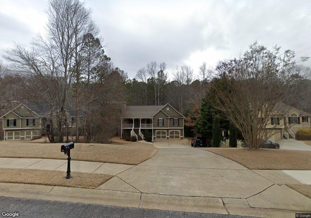
322 Madisons Way Waleska, GA 30183
Estimated Value: $437,718 - $448,000
3
Beds
2
Baths
1,782
Sq Ft
$249/Sq Ft
Est. Value
About This Home
This home is located at 322 Madisons Way, Waleska, GA 30183 and is currently estimated at $442,859, approximately $248 per square foot. 322 Madisons Way is a home located in Cherokee County with nearby schools including R. M. Moore Elementary School, Teasley Middle School, and Cherokee High School.
Ownership History
Date
Name
Owned For
Owner Type
Purchase Details
Closed on
Feb 10, 2006
Sold by
Spratling Brian E
Bought by
Spratling Brian E and Rowe Donna
Current Estimated Value
Home Financials for this Owner
Home Financials are based on the most recent Mortgage that was taken out on this home.
Original Mortgage
$171,631
Outstanding Balance
$95,171
Interest Rate
6.14%
Mortgage Type
New Conventional
Estimated Equity
$347,688
Purchase Details
Closed on
Jan 11, 2005
Sold by
Brookwood-Woodall Llc
Bought by
Fowler Michael R
Home Financials for this Owner
Home Financials are based on the most recent Mortgage that was taken out on this home.
Original Mortgage
$172,800
Interest Rate
5.61%
Mortgage Type
Purchase Money Mortgage
Create a Home Valuation Report for This Property
The Home Valuation Report is an in-depth analysis detailing your home's value as well as a comparison with similar homes in the area
Home Values in the Area
Average Home Value in this Area
Purchase History
| Date | Buyer | Sale Price | Title Company |
|---|---|---|---|
| Spratling Brian E | -- | -- | |
| Spratling Brian E | $214,600 | -- | |
| Fowler Michael R | $47,500 | -- |
Source: Public Records
Mortgage History
| Date | Status | Borrower | Loan Amount |
|---|---|---|---|
| Open | Spratling Brian E | $171,631 | |
| Previous Owner | Fowler Michael R | $172,800 |
Source: Public Records
Tax History Compared to Growth
Tax History
| Year | Tax Paid | Tax Assessment Tax Assessment Total Assessment is a certain percentage of the fair market value that is determined by local assessors to be the total taxable value of land and additions on the property. | Land | Improvement |
|---|---|---|---|---|
| 2025 | $880 | $162,640 | $38,800 | $123,840 |
| 2024 | $3,612 | $155,640 | $33,600 | $122,040 |
| 2023 | $2,994 | $146,920 | $33,600 | $113,320 |
| 2022 | $3,107 | $129,880 | $32,000 | $97,880 |
| 2021 | $2,692 | $100,840 | $24,000 | $76,840 |
| 2020 | $2,506 | $92,760 | $20,000 | $72,760 |
| 2019 | $2,425 | $89,240 | $20,000 | $69,240 |
| 2018 | $2,219 | $79,880 | $19,200 | $60,680 |
| 2017 | $2,176 | $194,500 | $19,200 | $58,600 |
| 2016 | $2,153 | $190,700 | $17,200 | $59,080 |
| 2015 | $2,124 | $186,400 | $14,800 | $59,760 |
| 2014 | $1,946 | $170,900 | $14,800 | $53,560 |
Source: Public Records
Map
Nearby Homes
- 424 Cable Rd
- 134 Brookwood Trail
- 4441 Fincher Rd
- 1010 Cable Rd
- 990 Cable Rd
- 994 Cable Rd
- 1175 Bartow St
- 1017 Cable Rd
- 1717 Darby Rd
- 1723 Darby Rd
- 2020 Darby Rd
- 6434 Reinhardt College Pkwy
- 6231 Reinhardt College Pkwy
- 865 Old Mill Ln
- 509 Old Mill Ln
- 240 Land Rd
- 437 Mccurry Trail
- 520 George Gray Ln
- 544 Sardis Cir
- 737 Sardis Cir
- 324 Madisons Way
- 320 Madisons Way
- 318 Madisons Way
- 326 Madisons Way
- 313 Madisons Way
- 328 Madisons Way
- 316 Madisons Way
- 311 Madisons Way
- 315 Madisons Way
- 330 Madisons Way
- 400 Christophers Ct
- 314 Madisons Way
- 317 Madisons Way
- 496 Cable Rd
- 500 Cable Rd
- 332 Madisons Way
- 402 Christophers Ct
- 312 Madisons Way
- 510 Cable Rd
- 404 Christophers Ct