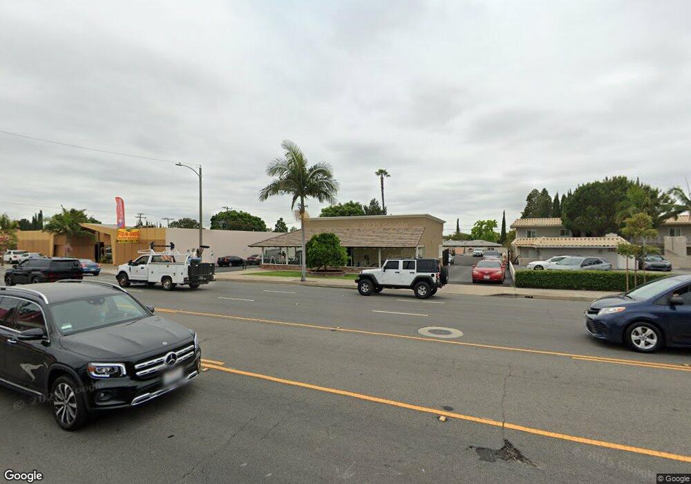
322 N Tustin St Orange, CA 92867
Estimated Value: $3,254,098
--
Bed
--
Bath
3,298
Sq Ft
$987/Sq Ft
Est. Value
About This Home
This home is located at 322 N Tustin St, Orange, CA 92867 and is currently estimated at $3,254,098, approximately $986 per square foot. 322 N Tustin St is a home located in Orange County with nearby schools including Cambridge Elementary School, Yorba Middle School, and Orange High School.
Ownership History
Date
Name
Owned For
Owner Type
Purchase Details
Closed on
Jun 7, 2019
Sold by
Orange County Kitchens
Bought by
Horton Ronnie David
Current Estimated Value
Home Financials for this Owner
Home Financials are based on the most recent Mortgage that was taken out on this home.
Original Mortgage
$1,849,600
Outstanding Balance
$1,626,173
Interest Rate
4.2%
Mortgage Type
Commercial
Estimated Equity
$1,627,925
Purchase Details
Closed on
May 1, 2019
Sold by
Horton Ronnie David
Bought by
Jmri Enterprises Llc
Home Financials for this Owner
Home Financials are based on the most recent Mortgage that was taken out on this home.
Original Mortgage
$1,849,600
Outstanding Balance
$1,626,173
Interest Rate
4.2%
Mortgage Type
Commercial
Estimated Equity
$1,627,925
Purchase Details
Closed on
Apr 8, 2005
Sold by
Horton Linda Jean
Bought by
Horton Ronnie David
Home Financials for this Owner
Home Financials are based on the most recent Mortgage that was taken out on this home.
Original Mortgage
$705,000
Interest Rate
6.02%
Mortgage Type
Commercial
Purchase Details
Closed on
Mar 29, 2005
Sold by
Murphy Barbara
Bought by
Horton Ronnie David
Home Financials for this Owner
Home Financials are based on the most recent Mortgage that was taken out on this home.
Original Mortgage
$705,000
Interest Rate
6.02%
Mortgage Type
Commercial
Purchase Details
Closed on
Jun 26, 2001
Sold by
Murphy William G
Bought by
Murphy Barbara
Purchase Details
Closed on
Apr 10, 2001
Sold by
All Real Property Inc
Bought by
Murphy Barbara
Home Financials for this Owner
Home Financials are based on the most recent Mortgage that was taken out on this home.
Original Mortgage
$130,000
Interest Rate
7.24%
Mortgage Type
Commercial
Purchase Details
Closed on
Dec 1, 1998
Sold by
Biard John E and Biard Family Trust
Bought by
All Real Property Inc
Home Financials for this Owner
Home Financials are based on the most recent Mortgage that was taken out on this home.
Original Mortgage
$500,000
Interest Rate
6.86%
Mortgage Type
Seller Take Back
Purchase Details
Closed on
May 12, 1995
Sold by
Biard John E
Bought by
Biard John E and Biard Carol L
Purchase Details
Closed on
May 26, 1993
Sold by
First American Trust Company
Bought by
Biard John E
Create a Home Valuation Report for This Property
The Home Valuation Report is an in-depth analysis detailing your home's value as well as a comparison with similar homes in the area
Home Values in the Area
Average Home Value in this Area
Purchase History
| Date | Buyer | Sale Price | Title Company |
|---|---|---|---|
| Horton Ronnie David | -- | Stewart Title Company | |
| Jmri Enterprises Llc | $2,000,000 | Stewart Title Guaranty Co | |
| Horton Ronnie David | -- | Fidelity National Title Co | |
| Horton Ronnie David | $1,278,000 | Fidelity National Title Co | |
| Murphy Barbara | -- | Chicago Title Co | |
| Murphy Barbara | $450,000 | Chicago Title Co | |
| All Real Property Inc | -- | Chicago Title Co | |
| Biard John E | -- | -- | |
| Biard John E | -- | -- |
Source: Public Records
Mortgage History
| Date | Status | Borrower | Loan Amount |
|---|---|---|---|
| Open | Jmri Enterprises Llc | $1,849,600 | |
| Previous Owner | Horton Ronnie David | $705,000 | |
| Previous Owner | Murphy Barbara | $130,000 | |
| Previous Owner | All Real Property Inc | $500,000 | |
| Closed | Horton Ronnie David | $564,000 |
Source: Public Records
Tax History Compared to Growth
Tax History
| Year | Tax Paid | Tax Assessment Tax Assessment Total Assessment is a certain percentage of the fair market value that is determined by local assessors to be the total taxable value of land and additions on the property. | Land | Improvement |
|---|---|---|---|---|
| 2025 | $23,527 | $2,231,036 | $1,952,160 | $278,876 |
| 2024 | $23,527 | $2,187,291 | $1,913,883 | $273,408 |
| 2023 | $23,020 | $2,144,403 | $1,876,355 | $268,048 |
| 2022 | $22,584 | $2,102,356 | $1,839,563 | $262,793 |
| 2021 | $21,941 | $2,061,134 | $1,803,493 | $257,641 |
| 2020 | $21,741 | $2,040,000 | $1,785,000 | $255,000 |
| 2019 | $13,431 | $1,238,998 | $1,020,421 | $218,577 |
| 2018 | $13,226 | $1,214,704 | $1,000,412 | $214,292 |
| 2017 | $12,665 | $1,190,887 | $980,796 | $210,091 |
| 2016 | $12,418 | $1,167,537 | $961,565 | $205,972 |
| 2015 | $12,238 | $1,150,000 | $947,121 | $202,879 |
| 2014 | $11,447 | $1,076,156 | $873,277 | $202,879 |
Source: Public Records
Map
Nearby Homes
- 316 N Shattuck Place
- 1514 E Palm Ave
- 1904 E Palm Ave
- 415 N Wayfield St
- 1144 E Madison Ave
- 234 N Milford St
- 1105 E Rose Ave
- 1241 E Mayfair Ave
- 641 N Milford St
- 1316 E Lomita Ave
- 2515 E Orange Grove Ave
- 1040 E Oakmont Ave
- 360 S Greengrove Dr
- 1916 1920 E Kirkwood
- 280 N Cleveland St
- 2705 E Orange Grove Ave
- 1801 E Collins Ave Unit 42
- 1801 E Collins Ave Unit 65
- 1801 E Collins Ave Unit 6
- 201 E Collins Ave Unit 134
- 360 N Tustin St Unit 1- 19
- 337 N Shattuck Place
- 345 N Shattuck Place
- 327 N Shattuck Place
- 363 N Shattuck Place
- 317 N Shattuck Place
- 373 N Shattuck Place
- 1611 E Palm Ave
- 300 N Tustin St
- 300 N Tustin St
- 331 N Tustin St
- 383 N Shattuck Place
- 344 N Shattuck Place
- 336 N Shattuck Place
- 354 N Shattuck Place
- 326 N Shattuck Place
- 364 N Shattuck Place
- 393 N Shattuck Place
- 374 N Shattuck Place
- 306 N Shattuck Place