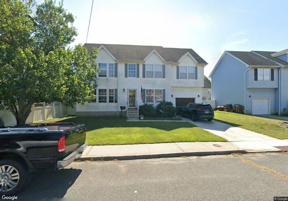
322 Poole Ave Long Branch, NJ 07740
Estimated Value: $641,000 - $875,000
4
Beds
2
Baths
2,120
Sq Ft
$357/Sq Ft
Est. Value
About This Home
This home is located at 322 Poole Ave, Long Branch, NJ 07740 and is currently estimated at $756,234, approximately $356 per square foot. 322 Poole Ave is a home located in Monmouth County with nearby schools including Long Branch High School, Holy Trinity School, and Bet Yaakov of the Jersey Shore.
Ownership History
Date
Name
Owned For
Owner Type
Purchase Details
Closed on
Feb 6, 2002
Sold by
Black Muddy River Mgmt Llc
Bought by
Miller Robert and Janis Nicole
Current Estimated Value
Home Financials for this Owner
Home Financials are based on the most recent Mortgage that was taken out on this home.
Original Mortgage
$178,000
Outstanding Balance
$74,017
Interest Rate
7.14%
Estimated Equity
$682,217
Create a Home Valuation Report for This Property
The Home Valuation Report is an in-depth analysis detailing your home's value as well as a comparison with similar homes in the area
Home Values in the Area
Average Home Value in this Area
Purchase History
| Date | Buyer | Sale Price | Title Company |
|---|---|---|---|
| Miller Robert | $222,500 | -- |
Source: Public Records
Mortgage History
| Date | Status | Borrower | Loan Amount |
|---|---|---|---|
| Open | Miller Robert | $178,000 |
Source: Public Records
Tax History Compared to Growth
Tax History
| Year | Tax Paid | Tax Assessment Tax Assessment Total Assessment is a certain percentage of the fair market value that is determined by local assessors to be the total taxable value of land and additions on the property. | Land | Improvement |
|---|---|---|---|---|
| 2025 | $9,065 | $626,100 | $135,000 | $491,100 |
| 2024 | $8,517 | $589,800 | $120,000 | $469,800 |
| 2023 | $8,517 | $548,400 | $100,000 | $448,400 |
| 2022 | $9,275 | $490,000 | $95,000 | $395,000 |
| 2021 | $9,275 | $463,500 | $90,000 | $373,500 |
| 2020 | $9,620 | $460,300 | $85,000 | $375,300 |
| 2019 | $9,390 | $446,700 | $85,000 | $361,700 |
| 2018 | $9,321 | $440,900 | $85,000 | $355,900 |
| 2017 | $9,023 | $437,800 | $85,000 | $352,800 |
| 2016 | $8,735 | $432,200 | $85,000 | $347,200 |
| 2015 | $7,866 | $353,200 | $100,000 | $253,200 |
| 2014 | $8,010 | $379,100 | $140,000 | $239,100 |
Source: Public Records
Map
Nearby Homes
- 298 Poole Ave
- 277 Poole Ave
- 399 Willow Ave
- 303 Westwood Ave
- 364 Westwood Ave Unit 39
- 364 Westwood Ave Unit 71
- 364 Westwood Ave Unit 21
- 215 Cleveland Ave
- 377 Westwood Ave
- 430 Broadway
- 237 3rd Ave Unit 1-4
- 153 Vanderbilt Ave
- 434 Westwood Ave
- 395 Broadway
- 170 Franklin Ave
- 168 Franklin Ave
- 14 Slocum Place
- 158 Franklin Ave
- 88 Norwood Ave
- 152 Franklin Ave
- 320 Poole Ave
- 324 Poole Ave
- 307 Cleveland Ave
- 305 Cleveland Ave
- 309 Cleveland Ave
- 326 Poole Ave
- 310 Poole Ave
- 325 Poole Ave
- 301 Cleveland Ave
- 311 Cleveland Ave
- 319 Poole Ave
- 315 Poole Ave
- 328 Poole Ave
- 331 Poole Ave
- 304 Poole Ave
- 304 Poole Ave Unit 2
- 313 Cleveland Ave
- 311 Poole Ave
- 297 Cleveland Ave
- 335 Poole Ave