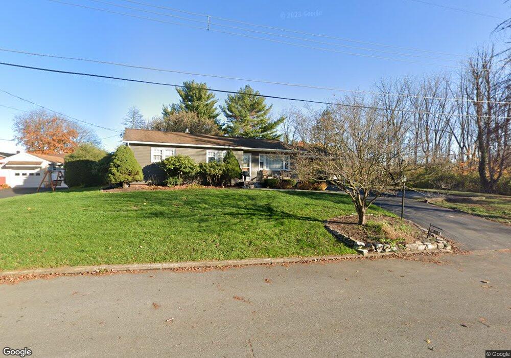
322 Quittapahilla Dr Lebanon, PA 17042
North Cornwall NeighborhoodEstimated Value: $272,583 - $288,000
3
Beds
2
Baths
1,196
Sq Ft
$233/Sq Ft
Est. Value
About This Home
This home is located at 322 Quittapahilla Dr, Lebanon, PA 17042 and is currently estimated at $278,646, approximately $232 per square foot. 322 Quittapahilla Dr is a home located in Lebanon County with nearby schools including Ebenezer Elementary School, Cedar Crest Middle School, and Cedar Crest High School.
Ownership History
Date
Name
Owned For
Owner Type
Purchase Details
Closed on
Jun 30, 2015
Sold by
Horn Gregory S
Bought by
Collins Richard H
Current Estimated Value
Home Financials for this Owner
Home Financials are based on the most recent Mortgage that was taken out on this home.
Original Mortgage
$115,842
Outstanding Balance
$89,562
Interest Rate
3.62%
Mortgage Type
FHA
Estimated Equity
$189,084
Purchase Details
Closed on
Dec 3, 2013
Sold by
Horn Anthony M
Bought by
Horn Gregory
Create a Home Valuation Report for This Property
The Home Valuation Report is an in-depth analysis detailing your home's value as well as a comparison with similar homes in the area
Home Values in the Area
Average Home Value in this Area
Purchase History
| Date | Buyer | Sale Price | Title Company |
|---|---|---|---|
| Collins Richard H | $118,000 | None Available | |
| Horn Gregory | -- | None Available |
Source: Public Records
Mortgage History
| Date | Status | Borrower | Loan Amount |
|---|---|---|---|
| Open | Collins Richard H | $115,842 |
Source: Public Records
Tax History Compared to Growth
Tax History
| Year | Tax Paid | Tax Assessment Tax Assessment Total Assessment is a certain percentage of the fair market value that is determined by local assessors to be the total taxable value of land and additions on the property. | Land | Improvement |
|---|---|---|---|---|
| 2025 | $3,544 | $143,600 | $36,600 | $107,000 |
| 2024 | $3,231 | $143,600 | $36,600 | $107,000 |
| 2023 | $3,231 | $143,600 | $36,600 | $107,000 |
| 2022 | $3,128 | $143,600 | $36,600 | $107,000 |
| 2021 | $2,962 | $143,600 | $36,600 | $107,000 |
| 2020 | $2,940 | $143,600 | $36,600 | $107,000 |
| 2019 | $2,822 | $143,600 | $36,600 | $107,000 |
| 2018 | $2,771 | $143,600 | $36,600 | $107,000 |
| 2017 | $688 | $143,600 | $36,600 | $107,000 |
| 2016 | $2,720 | $143,600 | $36,600 | $107,000 |
| 2015 | -- | $133,000 | $26,000 | $107,000 |
| 2014 | -- | $133,000 | $26,000 | $107,000 |
Source: Public Records
Map
Nearby Homes
- 129 S Mill St
- 535 S Mill St
- 216 W Union Alley
- 429 Bricker Ln
- 208 S Center St
- 261 Kathy Ct
- 27 and 27 Rear N Center St
- 27 N Center St
- 844 S Spruce St
- 775 S Spruce St
- 442 E Penn Ave
- 14 Betony Ln
- 659 E Maple St
- 217 Dahlia Cir
- 01 Dahlia
- 00 Dahlia Cir
- Wesley Plan at Fox Bend
- Bridgemont Plan at Fox Bend
- Westbrooke Plan at Fox Bend
- Logan Plan at Fox Bend
- 322 Quittapahilla Dr
- 320 Quittapahilla Dr
- 428 W Locust St
- 319 Quittapahilla Dr
- 325 Quittapahilla Dr
- 327 Quittapahilla Dr
- 424 W Locust St
- 313 Quittapahilla Dr
- 308 Quittapahilla Dr
- 422 W Locust St
- 427 W Locust St
- 538 W Locust St
- 302 Quittapahilla Dr
- 532 W Locust St
- 544 W Locust St
- 419 Wilshire Dr
- 425 W Locust St
- 550 W Locust St
- 556 W Locust St
- 296 Quittapahilla Dr