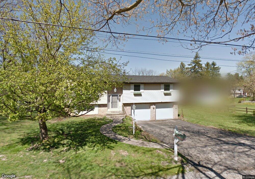
322 Sandle Ave W Pittsburgh, PA 15237
McCandless Township NeighborhoodEstimated Value: $232,000 - $319,000
2
Beds
3
Baths
1,513
Sq Ft
$188/Sq Ft
Est. Value
About This Home
This home is located at 322 Sandle Ave W, Pittsburgh, PA 15237 and is currently estimated at $283,980, approximately $187 per square foot. 322 Sandle Ave W is a home located in Allegheny County with nearby schools including McKnight Elementary School, Carson Middle School, and North Allegheny High School.
Ownership History
Date
Name
Owned For
Owner Type
Purchase Details
Closed on
May 5, 2010
Sold by
Deutsche Bank Natl Trust Co Tr
Bought by
Cornish Barbara L and Cornish Chad
Current Estimated Value
Purchase Details
Closed on
Oct 31, 2003
Sold by
Petschke Mark A
Bought by
Ferlet Adam R
Home Financials for this Owner
Home Financials are based on the most recent Mortgage that was taken out on this home.
Original Mortgage
$123,000
Interest Rate
6.05%
Mortgage Type
New Conventional
Purchase Details
Closed on
Feb 23, 1998
Sold by
Petschke Mark A and Petschke Jennifer S
Bought by
Petschke Mark A and Petschke Jennifer S
Purchase Details
Closed on
Jul 7, 1995
Sold by
Palazzo Joann
Bought by
Petschke Mark A and Heiles Jennifer S
Create a Home Valuation Report for This Property
The Home Valuation Report is an in-depth analysis detailing your home's value as well as a comparison with similar homes in the area
Home Values in the Area
Average Home Value in this Area
Purchase History
| Date | Buyer | Sale Price | Title Company |
|---|---|---|---|
| Cornish Barbara L | $95,000 | -- | |
| Deutsche Bank Natl Trust Co Tr | $95,000 | -- | |
| Ferlet Adam R | $154,000 | -- | |
| Petschke Mark A | -- | -- | |
| Petschke Mark A | $108,000 | -- |
Source: Public Records
Mortgage History
| Date | Status | Borrower | Loan Amount |
|---|---|---|---|
| Previous Owner | Ferlet Adam R | $123,000 |
Source: Public Records
Tax History Compared to Growth
Tax History
| Year | Tax Paid | Tax Assessment Tax Assessment Total Assessment is a certain percentage of the fair market value that is determined by local assessors to be the total taxable value of land and additions on the property. | Land | Improvement |
|---|---|---|---|---|
| 2025 | $4,020 | $156,400 | $39,600 | $116,800 |
| 2024 | $4,020 | $156,400 | $39,600 | $116,800 |
| 2023 | $4,020 | $156,400 | $39,600 | $116,800 |
| 2022 | $3,927 | $156,400 | $39,600 | $116,800 |
| 2021 | $3,947 | $156,400 | $39,600 | $116,800 |
| 2020 | $3,927 | $156,400 | $39,600 | $116,800 |
| 2019 | $3,820 | $156,400 | $39,600 | $116,800 |
| 2018 | $740 | $156,400 | $39,600 | $116,800 |
| 2017 | $3,748 | $156,400 | $39,600 | $116,800 |
| 2016 | $740 | $156,400 | $39,600 | $116,800 |
| 2015 | $740 | $156,400 | $39,600 | $116,800 |
| 2014 | $3,664 | $156,400 | $39,600 | $116,800 |
Source: Public Records
Map
Nearby Homes
- 333 Rolshouse Rd
- 8521 Roosevelt Blvd
- 518 Lincoln Ave
- 218 Lincoln Ave
- 7914 Hemlock St
- 8229 E Van Buren Dr
- 0 Main Blvd
- 170 Mayer Dr
- 130 Grant Ave
- 8439 Edwood Rd
- 405 Highland Pines Ct Unit D405
- 73 Grace Dr
- 403 Sunderland Dr
- 605 Calais Dr Unit 301
- 605 Calais Dr Unit 104
- 368 Seminole Ave
- 159 Seminole Ave
- 221 Olivia Way
- 103 Buckhill Rd
- 100 Curtis Ct
- 8307 Forest Ave
- 301 Sandle Ave W
- 326 Sandle Ave W
- 8313 Forest Ave
- 311 Sandle Ave W
- 8319 Forest Ave
- 227 Sandle Ave W
- 321 Sandle Ave W
- 305 Lancers Way
- 217 Sandle Ave W
- 309 Lancers Way
- 212 Sandle Ave W
- 8332 Forest Ave
- 8310 Forest Ave
- 339 Western Ave
- 306 Lancers Way
- 310 Lancers Way
- 312 Lancers Way
- 205 Sandle Ave W
- 200 Sandle Ave W