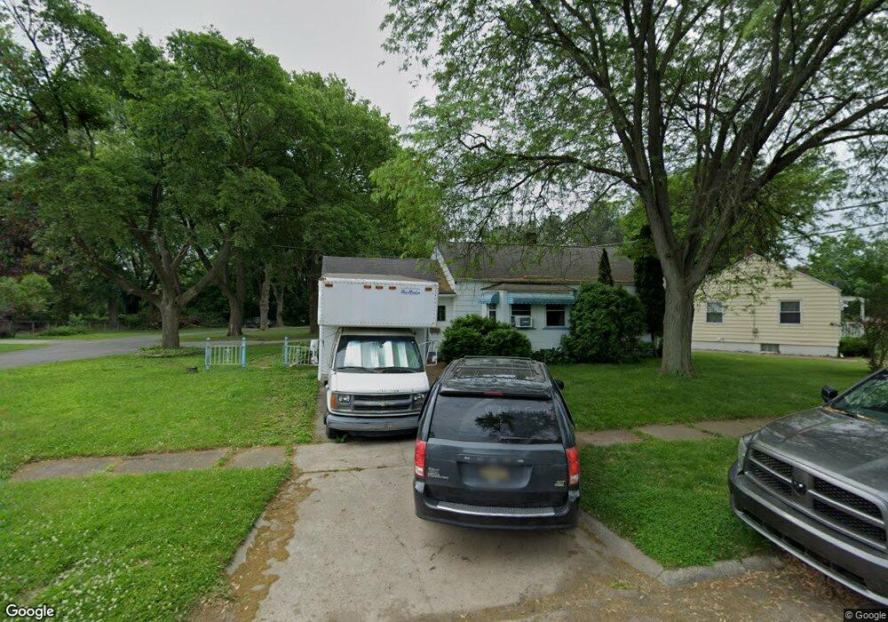
3221 Gratiot Ave Flint, MI 48503
Glendale NeighborhoodEstimated Value: $60,000 - $113,000
3
Beds
1
Bath
1,102
Sq Ft
$72/Sq Ft
Est. Value
About This Home
This home is located at 3221 Gratiot Ave, Flint, MI 48503 and is currently estimated at $78,957, approximately $71 per square foot. 3221 Gratiot Ave is a home located in Genesee County with nearby schools including Durant-Tuuri-Mott Elementary School, St. Paul Lutheran School, and First Flint Seventh-day Adventist Christian School.
Ownership History
Date
Name
Owned For
Owner Type
Purchase Details
Closed on
Jun 29, 2020
Sold by
Panoff Angelo
Bought by
Johnon Lashanna
Current Estimated Value
Purchase Details
Closed on
Oct 28, 2016
Sold by
Panoff Sam L and Simeon Pamoff Trust
Bought by
The Angelo M Panoff Trust
Purchase Details
Closed on
Jun 4, 2004
Sold by
Panoff Sam L and Panoff Thomais
Bought by
Panoff Sam L and Sam L Panoff Trust
Create a Home Valuation Report for This Property
The Home Valuation Report is an in-depth analysis detailing your home's value as well as a comparison with similar homes in the area
Home Values in the Area
Average Home Value in this Area
Purchase History
We collect this data history from publicly available records. To have your information removed, we recommend requesting removal directly through your county’s website.
| Date | Buyer | Sale Price | Title Company |
|---|---|---|---|
| Johnon Lashanna | $16,500 | None Available | |
| The Angelo M Panoff Trust | $15,000 | None Available | |
| Angelo Panoff Trust | -- | Sargentrs Title Co | |
| Panoff Sam L | -- | -- |
Source: Public Records
Mortgage History
We collect this data history from publicly available records. To have your information removed, we recommend requesting removal directly through your county’s website.
| Date | Status | Borrower | Loan Amount |
|---|---|---|---|
| Closed | Angelo Panoff Trust | $0 |
Source: Public Records
Tax History
| Year | Tax Paid | Tax Assessment Tax Assessment Total Assessment is a certain percentage of the fair market value that is determined by local assessors to be the total taxable value of land and additions on the property. | Land | Improvement |
|---|---|---|---|---|
| 2025 | $1,388 | $40,300 | $0 | $0 |
| 2024 | $1,243 | $33,800 | $0 | $0 |
| 2023 | $1,213 | $25,100 | $0 | $0 |
| 2022 | $0 | $20,100 | $0 | $0 |
| 2021 | $1,270 | $18,600 | $0 | $0 |
| 2020 | $1,131 | $18,300 | $0 | $0 |
| 2019 | $1,094 | $17,900 | $0 | $0 |
| 2018 | $1,333 | $18,100 | $0 | $0 |
| 2017 | $1,635 | $0 | $0 | $0 |
| 2016 | $1,564 | $0 | $0 | $0 |
| 2015 | -- | $0 | $0 | $0 |
| 2014 | -- | $0 | $0 | $0 |
| 2012 | -- | $30,600 | $0 | $0 |
Source: Public Records
Map
Nearby Homes
- 3301 Gratiot Ave
- 3302 Van Buren Ave
- 915 Stocker Ave
- 801 Hubbard Ave
- 936 Stocker Ave
- 911 Hughes Ave
- 960 Mann Ave
- 0000 Beecher Rd
- 3617 Sherwood Dr
- 1017 Stocker Ave
- 3905 Joyner St
- 2810 Gibson St
- 2618 Lester Ct
- 316 Sheffield Ave
- 3921 Joyner St
- 2717 Gibson St
- 3623 Blackington Ave
- 863 Tacken St
- 2830 Corunna Rd
- 870 Tacken St
Your Personal Tour Guide
Ask me questions while you tour the home.