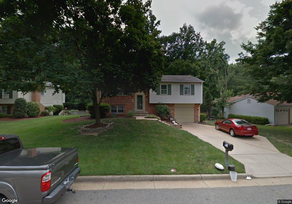
3221 Manitoba Dr Woodbridge, VA 22192
Estimated Value: $569,000 - $601,000
4
Beds
3
Baths
1,205
Sq Ft
$482/Sq Ft
Est. Value
About This Home
This home is located at 3221 Manitoba Dr, Woodbridge, VA 22192 and is currently estimated at $581,276, approximately $482 per square foot. 3221 Manitoba Dr is a home located in Prince William County with nearby schools including Lake Ridge Elementary School, Lake Ridge Middle School, and Woodbridge High School.
Ownership History
Date
Name
Owned For
Owner Type
Purchase Details
Closed on
Jun 16, 2003
Sold by
Higham Ronald P
Bought by
Maksanty John S
Current Estimated Value
Home Financials for this Owner
Home Financials are based on the most recent Mortgage that was taken out on this home.
Original Mortgage
$220,000
Outstanding Balance
$96,301
Interest Rate
5.77%
Mortgage Type
New Conventional
Estimated Equity
$484,975
Create a Home Valuation Report for This Property
The Home Valuation Report is an in-depth analysis detailing your home's value as well as a comparison with similar homes in the area
Home Values in the Area
Average Home Value in this Area
Purchase History
| Date | Buyer | Sale Price | Title Company |
|---|---|---|---|
| Maksanty John S | $276,000 | -- |
Source: Public Records
Mortgage History
| Date | Status | Borrower | Loan Amount |
|---|---|---|---|
| Open | Maksanty John S | $220,000 |
Source: Public Records
Tax History Compared to Growth
Tax History
| Year | Tax Paid | Tax Assessment Tax Assessment Total Assessment is a certain percentage of the fair market value that is determined by local assessors to be the total taxable value of land and additions on the property. | Land | Improvement |
|---|---|---|---|---|
| 2025 | $5,129 | $533,400 | $184,600 | $348,800 |
| 2024 | $5,129 | $515,700 | $179,300 | $336,400 |
| 2023 | $5,003 | $480,800 | $166,000 | $314,800 |
| 2022 | $5,151 | $465,100 | $159,600 | $305,500 |
| 2021 | $5,189 | $424,200 | $145,100 | $279,100 |
| 2020 | $6,092 | $393,000 | $134,300 | $258,700 |
| 2019 | $5,994 | $386,700 | $130,400 | $256,300 |
| 2018 | $4,401 | $364,500 | $130,700 | $233,800 |
| 2017 | $4,475 | $361,800 | $130,700 | $231,100 |
| 2016 | $4,123 | $335,900 | $115,900 | $220,000 |
| 2015 | $4,183 | $337,800 | $115,900 | $221,900 |
| 2014 | $4,183 | $333,700 | $114,600 | $219,100 |
Source: Public Records
Map
Nearby Homes
- 11828 Critton Cir
- 11846 Critton Cir
- 3098 Fennegan Ct
- 12020 Torrey Pine Ct
- 3226 Foothill St
- 12030 Cardamom Dr Unit 12030
- 3098 Bridgeton Ct
- 11973 Cardamom Dr
- 12075 Willowood Dr
- 3415 Fort Lyon Dr
- 3507 Mount Burnside Way
- 2735 King Iron Ct
- 12239 Thyme Ln
- 11743 Barrows Ln
- 3409 Caledonia Cir
- 12232 Nutmeg Ct
- 2842 Burgundy Place
- 11977 William And Mary Cir
- 2840 Chablis Cir Unit 11A
- 11761 Tolson Place Unit 11761
- 3223 Manitoba Dr
- 3219 Manitoba Dr
- 3217 Manitoba Dr
- 3225 Manitoba Dr
- 3224 Manitoba Dr
- 3222 Manitoba Dr
- 3220 Manitoba Dr
- 3215 Manitoba Dr
- 3229 Manitoba Dr
- 3228 Manitoba Dr
- 11805 Saint Ives Ct
- 3216 Manitoba Dr
- 3213 Manitoba Dr
- 3231 Manitoba Dr
- 11804 Saint Ives Ct
- 3230 Manitoba Dr
- 3214 Manitoba Dr
- 11803 Saint Ives Ct
- 3209 Manitoba Dr
- 11994 Farrabow Ln