32228 290th St Shell Rock, IA 50670
Estimated Value: $274,000 - $453,966
4
Beds
2
Baths
1,456
Sq Ft
$250/Sq Ft
Est. Value
About This Home
This home is located at 32228 290th St, Shell Rock, IA 50670 and is currently estimated at $363,983, approximately $249 per square foot. 32228 290th St is a home located in Butler County with nearby schools including Waverly-Shell Rock Senior High School.
Ownership History
Date
Name
Owned For
Owner Type
Purchase Details
Closed on
Sep 28, 2022
Sold by
Maifeld Inc
Bought by
Feckers Bradley A and Feckers Connie S
Current Estimated Value
Purchase Details
Closed on
May 27, 2022
Sold by
Maas Beverly and Maas Beverly A
Bought by
Feckers Bradley A and Feckers Connie S
Purchase Details
Closed on
Jan 9, 2022
Sold by
Sluiter Russell W and Sluiter Shirley
Bought by
Feckers Bradley A and Feckers Connie S
Purchase Details
Closed on
Jun 14, 2010
Sold by
The Estate Of Kenneth E Hart
Bought by
Feckers Bradley A and Feckers Connie S
Create a Home Valuation Report for This Property
The Home Valuation Report is an in-depth analysis detailing your home's value as well as a comparison with similar homes in the area
Home Values in the Area
Average Home Value in this Area
Purchase History
| Date | Buyer | Sale Price | Title Company |
|---|---|---|---|
| Feckers Bradley A | $1,350,000 | None Listed On Document | |
| Feckers Bradley A | $122,500 | Swanson Amy K | |
| Feckers Bradley A | -- | None Listed On Document | |
| Feckers Bradley A | $665,000 | None Available |
Source: Public Records
Mortgage History
| Date | Status | Borrower | Loan Amount |
|---|---|---|---|
| Closed | Feckers Bradley A | $0 |
Source: Public Records
Tax History Compared to Growth
Tax History
| Year | Tax Paid | Tax Assessment Tax Assessment Total Assessment is a certain percentage of the fair market value that is determined by local assessors to be the total taxable value of land and additions on the property. | Land | Improvement |
|---|---|---|---|---|
| 2024 | $3,724 | $284,750 | $4,950 | $279,800 |
| 2023 | $3,176 | $284,750 | $4,950 | $279,800 |
| 2022 | $3,042 | $223,790 | $3,940 | $219,850 |
| 2021 | $2,748 | $223,790 | $3,940 | $219,850 |
| 2020 | $2,748 | $195,210 | $3,850 | $191,360 |
| 2019 | $2,476 | $188,990 | $0 | $0 |
| 2018 | $2,440 | $188,990 | $0 | $0 |
| 2017 | $2,416 | $192,310 | $0 | $0 |
| 2016 | $2,642 | $192,310 | $0 | $0 |
| 2015 | $2,642 | $200,560 | $0 | $0 |
| 2014 | $2,804 | $179,930 | $0 | $0 |
Source: Public Records
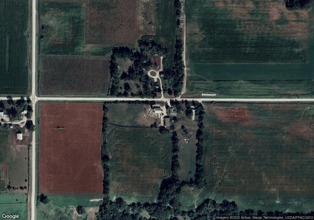
Map
Nearby Homes
- 29987 Willow Ave
- 7931 Clark St
- 6410 N Butler Rd
- 10241 Winslow Rd
- 10203 Mark Rd
- 30596 Terrace Ave
- 31093 Beaver Valley St
- TBD Beaver Valley St
- 101 Pine Ridge Rd
- 29406 Alice Rd
- 0 Tbd Beaver Valley St
- 29041 Alice Rd
- 29084 Alice Rd
- 29140 Alice Rd
- 29038 Alice Rd
- 29079 Alice Rd
- 29145 Alice Rd
- 905 Beaver St
- 1281 270th St
- 218 Harvest Ln