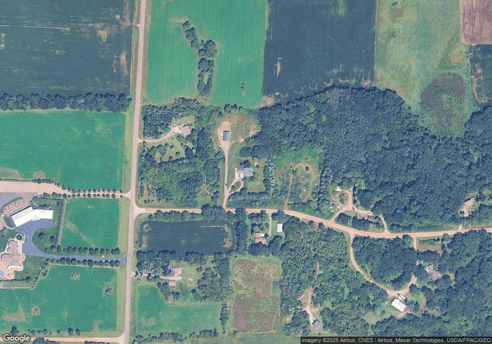
3224 181st St Clearwater, MN 55320
Estimated Value: $519,596 - $613,000
4
Beds
4
Baths
3,320
Sq Ft
$171/Sq Ft
Est. Value
About This Home
This home is located at 3224 181st St, Clearwater, MN 55320 and is currently estimated at $567,399, approximately $170 per square foot. 3224 181st St is a home located in Stearns County with nearby schools including Kimball Elementary School and Kimball High School.
Ownership History
Date
Name
Owned For
Owner Type
Purchase Details
Closed on
Jan 26, 2021
Sold by
Zimmer Valerie A
Bought by
Anderson Kenneth D and Holmes John
Current Estimated Value
Purchase Details
Closed on
May 26, 2016
Sold by
M. D. and M. Jill
Bought by
Grant Valerie A and Grant Ralston D
Purchase Details
Closed on
Jul 16, 2007
Sold by
Kendrick Dale A and Kendrick Danielle J
Bought by
Charboneau Michael and Charboneau Jill
Create a Home Valuation Report for This Property
The Home Valuation Report is an in-depth analysis detailing your home's value as well as a comparison with similar homes in the area
Home Values in the Area
Average Home Value in this Area
Purchase History
| Date | Buyer | Sale Price | Title Company |
|---|---|---|---|
| Anderson Kenneth D | $425,000 | First American Title | |
| Grant Valerie A | $289,900 | -- | |
| Charboneau Michael | $239,000 | -- | |
| Anderson Kenneth Kenneth | $425,000 | -- |
Source: Public Records
Mortgage History
| Date | Status | Borrower | Loan Amount |
|---|---|---|---|
| Closed | Anderson Kenneth Kenneth | $340,000 |
Source: Public Records
Tax History Compared to Growth
Tax History
| Year | Tax Paid | Tax Assessment Tax Assessment Total Assessment is a certain percentage of the fair market value that is determined by local assessors to be the total taxable value of land and additions on the property. | Land | Improvement |
|---|---|---|---|---|
| 2025 | $4,676 | $495,400 | $101,600 | $393,800 |
| 2024 | $4,596 | $515,600 | $101,000 | $414,600 |
| 2023 | $4,596 | $504,600 | $100,300 | $404,300 |
| 2022 | $4,062 | $385,000 | $77,200 | $307,800 |
| 2021 | $3,576 | $385,000 | $77,200 | $307,800 |
| 2020 | $3,360 | $322,900 | $77,200 | $245,700 |
| 2019 | $2,828 | $300,600 | $68,800 | $231,800 |
| 2018 | $2,598 | $226,800 | $62,400 | $164,400 |
| 2017 | $2,302 | $194,500 | $55,400 | $139,100 |
| 2016 | $2,146 | $0 | $0 | $0 |
| 2015 | $2,032 | $0 | $0 | $0 |
| 2014 | -- | $0 | $0 | $0 |
Source: Public Records
Map
Nearby Homes
- 3021 181st St
- 17963 27th Ave
- 17910 27th Ave
- XXX Deerwood Rd
- XXXXXXX (Parcel C) 170th St
- XXXXX (Parcel B) 170th St
- XXXX (Parcel A) 170th St
- 2184 170th St
- South Tract A TBD County Road 45
- North Tract B TBD County Road 45
- 20801 13th Ave
- 18493 Eaglewood Rd
- 20441 Elmwood Rd
- 18609 Dover Rd
- 597 Emmet Rd
- 19146 Eaglewood Rd
- 21740 Majestic Dr
- 21829 Majestic Dr
- 21945 Majestic Dr
- 16XXX 4th Ave E
