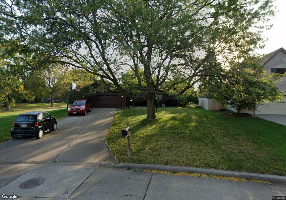
3224 S Whip Poor Will Ln Appleton, WI 54915
South Appleton NeighborhoodEstimated Value: $338,000 - $382,000
3
Beds
3
Baths
1,818
Sq Ft
$201/Sq Ft
Est. Value
About This Home
This home is located at 3224 S Whip Poor Will Ln, Appleton, WI 54915 and is currently estimated at $364,878, approximately $200 per square foot. 3224 S Whip Poor Will Ln is a home located in Calumet County with nearby schools including Janet Berry Elementary School, James Madison Middle School, and Appleton East High School.
Ownership History
Date
Name
Owned For
Owner Type
Purchase Details
Closed on
Oct 3, 2017
Sold by
Doran Charles C
Bought by
Mcgrath Maureen
Current Estimated Value
Purchase Details
Closed on
Dec 28, 2009
Sold by
Doran Charles C and Mcgrath Maureen
Bought by
Doran Charles C and Mcgrath Maureen
Create a Home Valuation Report for This Property
The Home Valuation Report is an in-depth analysis detailing your home's value as well as a comparison with similar homes in the area
Home Values in the Area
Average Home Value in this Area
Purchase History
| Date | Buyer | Sale Price | Title Company |
|---|---|---|---|
| Mcgrath Maureen | -- | -- | |
| Doran Charles C | -- | None Available |
Source: Public Records
Tax History Compared to Growth
Tax History
| Year | Tax Paid | Tax Assessment Tax Assessment Total Assessment is a certain percentage of the fair market value that is determined by local assessors to be the total taxable value of land and additions on the property. | Land | Improvement |
|---|---|---|---|---|
| 2024 | -- | $317,700 | $52,900 | $264,800 |
| 2023 | $5,016 | $317,700 | $52,900 | $264,800 |
| 2022 | $4,356 | $200,800 | $42,300 | $158,500 |
| 2021 | $4,264 | $200,800 | $42,300 | $158,500 |
| 2020 | $4,203 | $200,800 | $42,300 | $158,500 |
| 2019 | $4,003 | $200,800 | $42,300 | $158,500 |
| 2018 | $3,522 | $159,500 | $38,500 | $121,000 |
| 2017 | $3,500 | $159,500 | $38,500 | $121,000 |
| 2016 | $3,391 | $159,500 | $38,500 | $121,000 |
| 2015 | $3,394 | $159,500 | $38,500 | $121,000 |
| 2013 | $3,607 | $169,100 | $40,500 | $128,600 |
Source: Public Records
Map
Nearby Homes
- 1012 E Kramer Ln
- 918 E Kramer Ln
- 1235 E Sylvan Ave
- 2716 S Greenview St
- 3628 S Kernan Ave
- 2635 S Harmon St
- 2919 Moon Beam Ct
- 1548 Oneida St
- N9188 Kernan Ave
- 3339 S Blue Spruce Ln
- 2530 S Gladys Ave
- 2500 S Jefferson St
- 2800 Schaefer Cir
- 2503 S Harmon St
- 1319 E Harding Dr
- 706 E Wilson Ave
- 121 E Meadow Grove Blvd
- 2200 S Greenview St
- W6534 Manitowoc Rd
- 1367 Midway Rd
- 3230 S Whip Poor Will Ln
- 106 Prairie Ct
- 102 Prairie Ct
- 3236 S Whip Poor Will Ln
- 110 Prairie Ct
- 98 Prairie Ct
- 70 Pheasant Ct
- 3235 Whippoorwill Ln
- 3242 S Whip Poor Will Ln
- 3235 S Whip Poor Will Ln
- 94 Prairie Ct
- 3241 S Whip Poor Will Ln
- 1100 E Meadow Grove Blvd
- 1116 E Meadow Grove Blvd
- 64 Pheasant Ct
- 105 Prairie Ct
- 50 Pheasant Ct
- 1026 E Meadow Grove Blvd
- 122 Prairie Ct
- 1200 E Meadow Grove Blvd