3225 Devonshire Dr Platte City, MO 64079
Estimated Value: $300,326 - $330,000
2
Beds
2
Baths
1,488
Sq Ft
$211/Sq Ft
Est. Value
About This Home
This home is located at 3225 Devonshire Dr, Platte City, MO 64079 and is currently estimated at $313,582, approximately $210 per square foot. 3225 Devonshire Dr is a home located in Platte County with nearby schools including Platte County High School.
Ownership History
Date
Name
Owned For
Owner Type
Purchase Details
Closed on
Sep 15, 2020
Sold by
Bradley Harold M and Bradley Carol E
Bought by
Ham Douglas and Ham Kristin
Current Estimated Value
Home Financials for this Owner
Home Financials are based on the most recent Mortgage that was taken out on this home.
Original Mortgage
$146,200
Outstanding Balance
$102,828
Interest Rate
2.9%
Mortgage Type
New Conventional
Estimated Equity
$210,754
Create a Home Valuation Report for This Property
The Home Valuation Report is an in-depth analysis detailing your home's value as well as a comparison with similar homes in the area
Home Values in the Area
Average Home Value in this Area
Purchase History
| Date | Buyer | Sale Price | Title Company |
|---|---|---|---|
| Ham Douglas | -- | Stewart Title Company |
Source: Public Records
Mortgage History
| Date | Status | Borrower | Loan Amount |
|---|---|---|---|
| Open | Ham Douglas | $146,200 |
Source: Public Records
Tax History
| Year | Tax Paid | Tax Assessment Tax Assessment Total Assessment is a certain percentage of the fair market value that is determined by local assessors to be the total taxable value of land and additions on the property. | Land | Improvement |
|---|---|---|---|---|
| 2025 | $3,209 | $40,425 | $5,700 | $34,725 |
| 2024 | $3,086 | $40,425 | $5,700 | $34,725 |
| 2023 | $3,086 | $40,425 | $5,700 | $34,725 |
| 2022 | $2,736 | $35,461 | $5,700 | $29,761 |
| 2021 | $2,764 | $35,461 | $5,700 | $29,761 |
| 2020 | $2,796 | $35,461 | $5,700 | $29,761 |
| 2019 | $2,796 | $35,461 | $5,700 | $29,761 |
| 2018 | $2,816 | $35,461 | $5,700 | $29,761 |
| 2017 | $2,803 | $35,461 | $5,700 | $29,761 |
| 2016 | $2,788 | $35,461 | $5,700 | $29,761 |
| 2015 | $2,787 | $35,461 | $5,700 | $29,761 |
| 2013 | $2,568 | $35,461 | $0 | $0 |
Source: Public Records
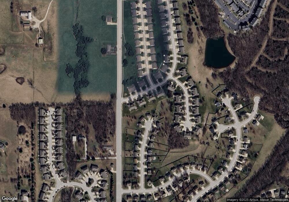
Map
Nearby Homes
- 13719 Post Oak Ln
- 13684 Oak Valley Dr
- 4609 NW 141st Terrace
- 2600 Windmill Dr
- 4821 NW 140th St
- 2503 Windmill Cir
- 4816 NW 140th St
- 4901 NW 140th St
- 4807 NW 141st St
- 2500 Windmill Dr
- 2708 Mercer Ln
- 2713 Mercer Ln
- 2704 Mercer Ln
- 13175 Woodridge St
- 4904 NW 141st St
- 2609 Mercer Ln
- 105 Johnson Cir
- 5000 NW 141st St
- 5004 NW 141st St
- 13295 N Silver Ridge Dr
- 3231 Devonshire Dr
- 3227 Devonshire Dr
- 3233 Devonshire Dr
- 300709 Devonshire Dr
- 301921 Devonshire Dr
- 301315 Devonshire Dr
- 13800 Green Meadow Ct
- 3224 Devonshire Dr
- 3226 Devonshire Dr
- 3220 Devonshire Dr
- 3215 Devonshire Dr
- 13795 Green Meadow Ct
- 13780 Green Meadow Ct
- 3213 Devonshire Dr
- 3211 Devonshire Dr
- 13770 Green Meadow Ct
- 3200 Eagle Ridge Dr Unit 3202
- 3209 Devonshire Dr
- 3206 Devonshire Dr
- 3208 Devonshire Dr
Your Personal Tour Guide
Ask me questions while you tour the home.