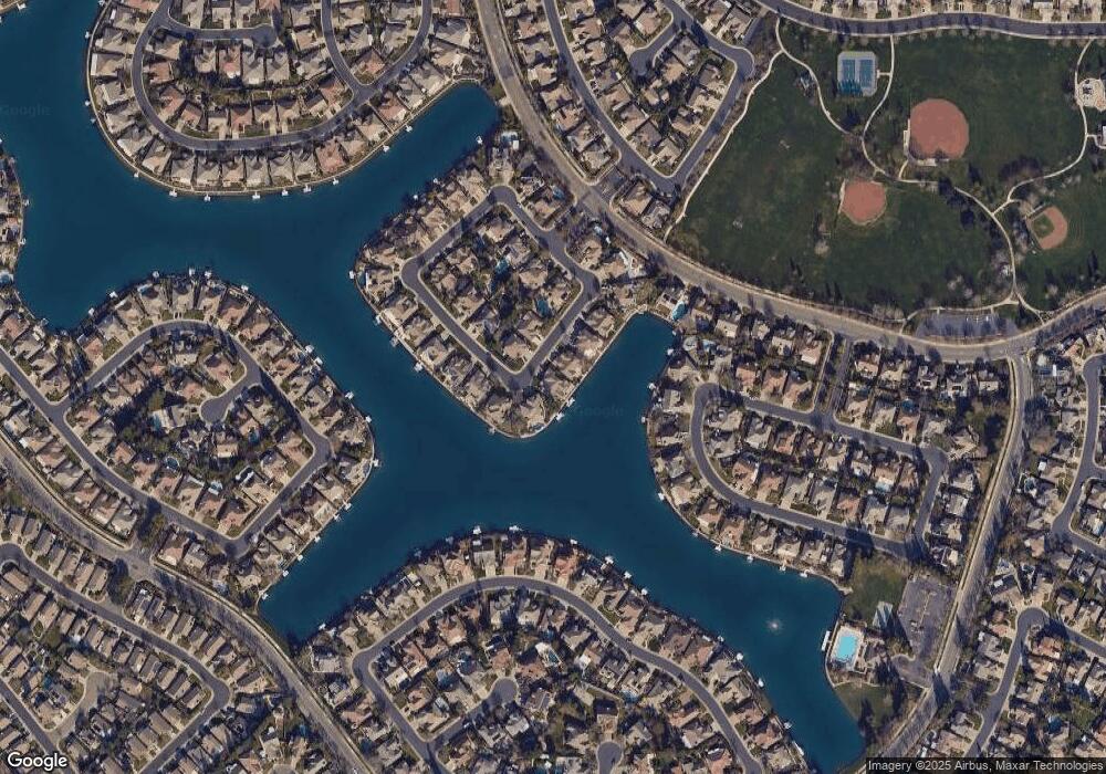
3227 Port Pacific Ln Elk Grove, CA 95758
North West Elk Grove NeighborhoodEstimated Value: $628,000 - $838,000
4
Beds
3
Baths
2,855
Sq Ft
$261/Sq Ft
Est. Value
About This Home
This home is located at 3227 Port Pacific Ln, Elk Grove, CA 95758 and is currently estimated at $744,744, approximately $260 per square foot. 3227 Port Pacific Ln is a home located in Sacramento County with nearby schools including Stone Lake Elementary, Toby Johnson Middle School, and Franklin High School.
Ownership History
Date
Name
Owned For
Owner Type
Purchase Details
Closed on
Dec 20, 1999
Sold by
Jts Communities Inc
Bought by
Duncan Lenley Carl and Duncan Kathleen Ann
Current Estimated Value
Home Financials for this Owner
Home Financials are based on the most recent Mortgage that was taken out on this home.
Original Mortgage
$100,000
Interest Rate
7.69%
Create a Home Valuation Report for This Property
The Home Valuation Report is an in-depth analysis detailing your home's value as well as a comparison with similar homes in the area
Home Values in the Area
Average Home Value in this Area
Purchase History
| Date | Buyer | Sale Price | Title Company |
|---|---|---|---|
| Duncan Lenley Carl | $366,500 | Placer Title Company |
Source: Public Records
Mortgage History
| Date | Status | Borrower | Loan Amount |
|---|---|---|---|
| Closed | Duncan Lenley Carl | $100,000 |
Source: Public Records
Tax History Compared to Growth
Tax History
| Year | Tax Paid | Tax Assessment Tax Assessment Total Assessment is a certain percentage of the fair market value that is determined by local assessors to be the total taxable value of land and additions on the property. | Land | Improvement |
|---|---|---|---|---|
| 2025 | $6,642 | $609,522 | $153,688 | $455,834 |
| 2024 | $6,642 | $597,572 | $150,675 | $446,897 |
| 2023 | $6,458 | $585,856 | $147,721 | $438,135 |
| 2022 | $6,345 | $574,370 | $144,825 | $429,545 |
| 2021 | $6,035 | $543,501 | $141,986 | $401,515 |
| 2020 | $6,252 | $537,929 | $140,531 | $397,398 |
| 2019 | $6,921 | $527,382 | $137,776 | $389,606 |
| 2018 | $6,759 | $517,042 | $135,075 | $381,967 |
| 2017 | $6,648 | $506,905 | $132,427 | $374,478 |
| 2016 | $6,368 | $496,967 | $129,831 | $367,136 |
| 2015 | $6,342 | $489,503 | $127,881 | $361,622 |
| 2014 | $6,267 | $479,915 | $125,376 | $354,539 |
Source: Public Records
Map
Nearby Homes
- 9608 Crystal Bay Ln
- 3009 Granite Park Ln
- 2807 Turnbuckle Cir
- 3403 Lakeland Way
- 9625 Coney Island Cir
- 3005 Turnbuckle Cir
- 3430 Sierra Meadow Ct
- 2891 Brighton Beach Way
- 3112 W Sondiesa Ct
- 2720 Robinson Creek Ln Unit L
- 3016 W Sondiesa Ct
- 3619 Lake Terrace Dr
- 9424 Windrunner Ln
- 2613 Emerald Bay Ln
- 9387 Bennoel Way
- 2500 Merlin Way
- 9567 Diamond Point Ln
- 2624 W Pintail Way
- 9736 Harrier Way
- 9653 Sea Cliff Way
- 3223 Port Pacific Ln
- 3231 Port Pacific Ln
- 3219 Port Pacific Ln
- 3226 Port Pacific Ln
- 3235 Port Pacific Ln
- 3222 Port Pacific Ln
- 3239 Port Pacific Ln
- 3215 Port Pacific Ln
- 3204 Port Pacific Ln
- 3244 Port Pacific Ln
- 3243 Port Pacific Ln
- 3200 Port Pacific Ln
- 3481 Heron Lake Ln
- 3477 Heron Lake Ln
- 3211 Port Pacific Ln
- 3250 Port Pacific Ln
- 3247 Port Pacific Ln
- 3485 Heron Lake Ln
- 3473 Heron Lake Ln
- 3207 Port Pacific Ln
