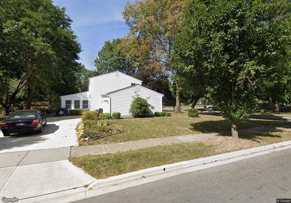
323 Apache St Westerville, OH 43081
Estimated Value: $414,000 - $428,000
4
Beds
4
Baths
1,836
Sq Ft
$230/Sq Ft
Est. Value
About This Home
This home is located at 323 Apache St, Westerville, OH 43081 and is currently estimated at $422,095, approximately $229 per square foot. 323 Apache St is a home located in Franklin County with nearby schools including Cherrington Elementary School, Blendon Middle School, and Westerville South High School.
Ownership History
Date
Name
Owned For
Owner Type
Purchase Details
Closed on
Jun 22, 1999
Sold by
Taylor David G and Taylor Dona M
Bought by
Dinsmore Frank W and Dinsmore Laura
Current Estimated Value
Home Financials for this Owner
Home Financials are based on the most recent Mortgage that was taken out on this home.
Original Mortgage
$134,900
Interest Rate
7.15%
Mortgage Type
Balloon
Purchase Details
Closed on
Aug 15, 1997
Sold by
Taylor David G
Bought by
Taylor David G and Taylor Dona M
Create a Home Valuation Report for This Property
The Home Valuation Report is an in-depth analysis detailing your home's value as well as a comparison with similar homes in the area
Home Values in the Area
Average Home Value in this Area
Purchase History
| Date | Buyer | Sale Price | Title Company |
|---|---|---|---|
| Dinsmore Frank W | $154,900 | -- | |
| Taylor David G | -- | -- |
Source: Public Records
Mortgage History
| Date | Status | Borrower | Loan Amount |
|---|---|---|---|
| Closed | Dinsmore Frank W | $134,900 |
Source: Public Records
Tax History Compared to Growth
Tax History
| Year | Tax Paid | Tax Assessment Tax Assessment Total Assessment is a certain percentage of the fair market value that is determined by local assessors to be the total taxable value of land and additions on the property. | Land | Improvement |
|---|---|---|---|---|
| 2024 | $7,110 | $125,100 | $31,260 | $93,840 |
| 2023 | $6,959 | $125,100 | $31,260 | $93,840 |
| 2022 | $5,982 | $82,110 | $15,750 | $66,360 |
| 2021 | $6,032 | $82,110 | $15,750 | $66,360 |
| 2020 | $6,015 | $82,110 | $15,750 | $66,360 |
| 2019 | $4,878 | $62,860 | $15,750 | $47,110 |
| 2018 | $5,019 | $62,860 | $15,750 | $47,110 |
| 2017 | $5,081 | $62,860 | $15,750 | $47,110 |
| 2016 | $5,364 | $63,980 | $23,520 | $40,460 |
| 2015 | $5,256 | $63,980 | $23,520 | $40,460 |
| 2014 | $5,199 | $63,980 | $23,520 | $40,460 |
| 2013 | $2,626 | $63,980 | $23,520 | $40,460 |
Source: Public Records
Map
Nearby Homes
- 858 Knebworth Ct
- 497 Catawba Ave
- 415-417 E Walnut St
- 615 Vancouver Dr
- 45 Kanpur Place
- 182 Cherrington Rd
- 636 E Schrock Rd
- 175 Cherrington Rd
- 133 Illinois Ave
- 144 Fairdale Ave
- 204 Barcelona Ave
- 720 Andrew Ave
- 994 Autumn Lake Ct
- 183 Barcelona Ave
- 322 Huber Village Blvd
- 73 Fairdale Ave
- 221 Eastwood Ave
- 480 S State St
- 328 Myrtle Dr Unit Lot 5
- 348 Myrtle Dr Unit Lot 10
- 321 Apache St
- 340 Mingo Ln
- 320 Apache Cir
- 342 Delaware Dr
- 0 Apache Cr Cir
- 341 Mingo Ln
- 317 Apache St
- 300 Apache St
- 0 Apache Cr Creek
- 311 Apache St
- 303 Apache Cir
- 318 Apache Cir
- 314 Delaware Dr
- 500 Delaware Ct
- 301 Apache St
- 492 Delaware Ct
- 290 Apache St
- 306 Delaware Dr
- 329 Delaware Dr
- 337 Delaware Dr
