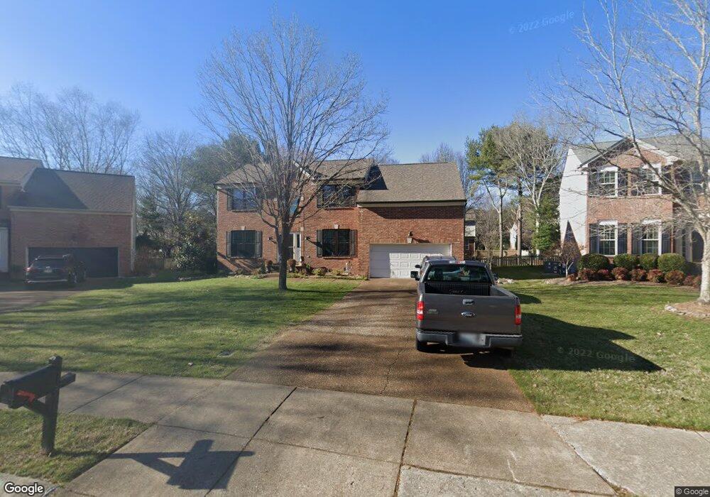
323 Devonshire Dr Franklin, TN 37064
West Franklin NeighborhoodEstimated Value: $693,489 - $781,000
Studio
3
Baths
2,486
Sq Ft
$298/Sq Ft
Est. Value
About This Home
This home is located at 323 Devonshire Dr, Franklin, TN 37064 and is currently estimated at $741,122, approximately $298 per square foot. 323 Devonshire Dr is a home located in Williamson County with nearby schools including Poplar Grove K-4, Poplar Grove 5-8, and Franklin High School.
Ownership History
Date
Name
Owned For
Owner Type
Purchase Details
Closed on
Aug 12, 1998
Sold by
Burgoyne Ellis A and Burgoyne Joylonna T
Bought by
Miller James E and Miller Susan P
Current Estimated Value
Home Financials for this Owner
Home Financials are based on the most recent Mortgage that was taken out on this home.
Original Mortgage
$198,500
Outstanding Balance
$40,481
Interest Rate
6.96%
Estimated Equity
$700,641
Create a Home Valuation Report for This Property
The Home Valuation Report is an in-depth analysis detailing your home's value as well as a comparison with similar homes in the area
Home Values in the Area
Average Home Value in this Area
Purchase History
| Date | Buyer | Sale Price | Title Company |
|---|---|---|---|
| Miller James E | $213,500 | -- |
Source: Public Records
Mortgage History
| Date | Status | Borrower | Loan Amount |
|---|---|---|---|
| Open | Miller James E | $198,500 |
Source: Public Records
Tax History
| Year | Tax Paid | Tax Assessment Tax Assessment Total Assessment is a certain percentage of the fair market value that is determined by local assessors to be the total taxable value of land and additions on the property. | Land | Improvement |
|---|---|---|---|---|
| 2025 | $3,222 | $192,075 | $68,750 | $123,325 |
| 2024 | $3,222 | $113,800 | $28,750 | $85,050 |
| 2023 | $3,096 | $113,800 | $28,750 | $85,050 |
| 2022 | $3,096 | $113,800 | $28,750 | $85,050 |
| 2021 | $3,096 | $113,800 | $28,750 | $85,050 |
| 2020 | $2,837 | $87,925 | $22,500 | $65,425 |
| 2019 | $2,837 | $87,925 | $22,500 | $65,425 |
| 2018 | $2,775 | $87,925 | $22,500 | $65,425 |
| 2017 | $2,731 | $87,925 | $22,500 | $65,425 |
| 2016 | $0 | $87,925 | $22,500 | $65,425 |
| 2015 | -- | $74,375 | $15,625 | $58,750 |
| 2014 | -- | $74,375 | $15,625 | $58,750 |
Source: Public Records
Map
Nearby Homes
- 401 Founders Pointe Blvd
- 3115 Vera Valley Rd
- 215 Wrennewood Ln
- 3126 Annfield Way
- 3160 Vera Valley Rd
- 205 Westfield Dr
- 3131 Bruce Gardens Cir
- 5003 Rizer Point Dr
- 5029 Owenruth Dr
- 5037 Owenruth Dr
- 4064 Penfield Dr
- 4072 Penfield Dr
- 262 Wrennewood Ln
- 1200 Vintage Grove Ln
- 1632 Cooper Creek Ln
- 5008 Rizer Point Dr
- 1627 Cooper Creek Ln
- 1419 Clairmonte Cir
- 3205 Vera Valley Rd
- 3014 Nine Bark Ln
- 325 Devonshire Dr
- 321 Devonshire Dr
- 206 Lancelot Ln
- 204 Lancelot Ln
- 319 Devonshire Dr
- 326 Devonshire Dr
- 208 Lancelot Ln
- 317 Devonshire Dr
- 202 Lancelot Ln
- 208 Founders Pointe Blvd
- 101 Clayborne Ct
- 324 Devonshire Dr
- 210 Founders Pointe Blvd
- 322 Devonshire Dr
- 320 Devonshire Dr
- 206 Founders Pointe Blvd
- 315 Devonshire Dr
- 103 Clayborne Ct
- 205 Lancelot Ln
- 204 Founders Pointe Blvd
Your Personal Tour Guide
Ask me questions while you tour the home.