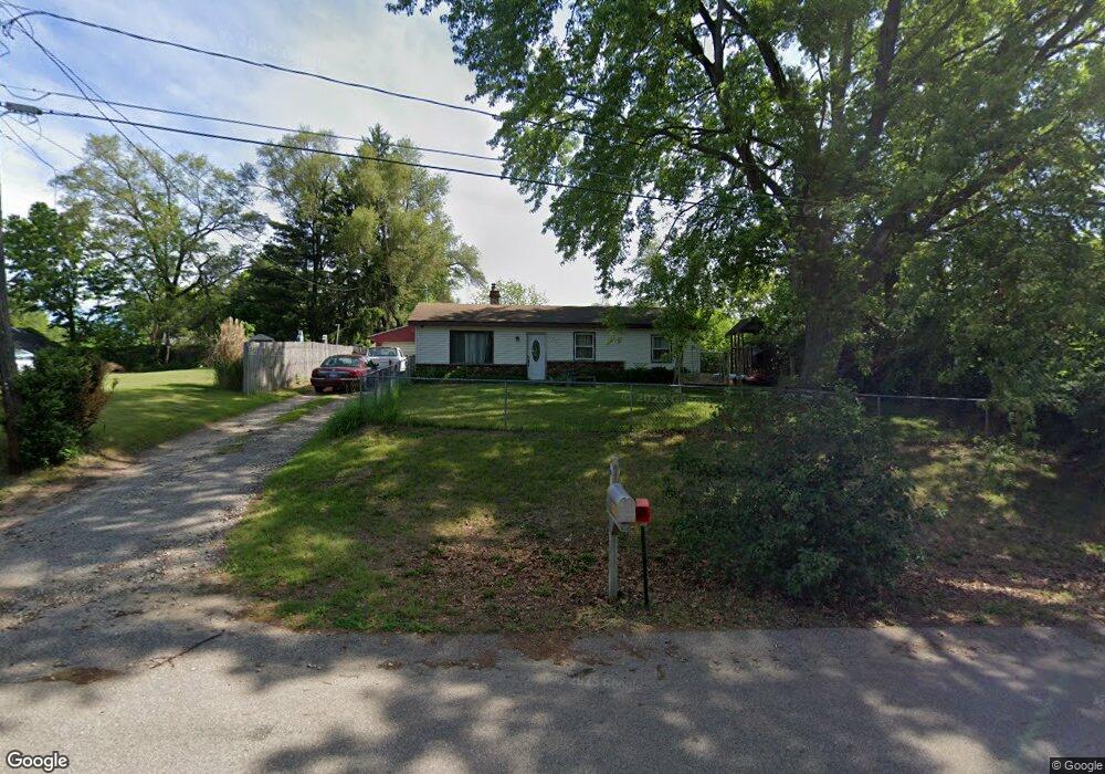
323 Electric Ave Battle Creek, MI 49014
Estimated Value: $89,000 - $112,884
2
Beds
1
Bath
1,016
Sq Ft
$101/Sq Ft
Est. Value
About This Home
This home is located at 323 Electric Ave, Battle Creek, MI 49014 and is currently estimated at $102,471, approximately $100 per square foot. 323 Electric Ave is a home located in Calhoun County with nearby schools including Verona Elementary School, Springfield Middle School, and Battle Creek Central High School.
Ownership History
Date
Name
Owned For
Owner Type
Purchase Details
Closed on
Jul 23, 2004
Sold by
Pierce Larry R and Pierce Holly L
Bought by
Gore Jobey J
Current Estimated Value
Home Financials for this Owner
Home Financials are based on the most recent Mortgage that was taken out on this home.
Original Mortgage
$60,323
Outstanding Balance
$30,373
Interest Rate
6.34%
Mortgage Type
FHA
Estimated Equity
$72,098
Purchase Details
Closed on
Apr 5, 2004
Sold by
Evans James R and Evans Georgelyn S
Bought by
Pierce Larry R
Purchase Details
Closed on
Mar 6, 1992
Sold by
Evans James R and Evans Georgeyn S
Bought by
Pierce Larry R
Create a Home Valuation Report for This Property
The Home Valuation Report is an in-depth analysis detailing your home's value as well as a comparison with similar homes in the area
Home Values in the Area
Average Home Value in this Area
Purchase History
| Date | Buyer | Sale Price | Title Company |
|---|---|---|---|
| Gore Jobey J | $60,800 | Fatic | |
| Pierce Larry R | $21,900 | -- | |
| Pierce Larry R | $21,900 | -- |
Source: Public Records
Mortgage History
| Date | Status | Borrower | Loan Amount |
|---|---|---|---|
| Open | Gore Jobey J | $60,323 |
Source: Public Records
Tax History Compared to Growth
Tax History
| Year | Tax Paid | Tax Assessment Tax Assessment Total Assessment is a certain percentage of the fair market value that is determined by local assessors to be the total taxable value of land and additions on the property. | Land | Improvement |
|---|---|---|---|---|
| 2025 | $1,947 | $45,780 | $0 | $0 |
| 2024 | $467 | $41,360 | $0 | $0 |
| 2023 | $846 | $36,420 | $0 | $0 |
| 2022 | $423 | $32,060 | $0 | $0 |
| 2021 | $777 | $25,650 | $0 | $0 |
| 2020 | $793 | $25,050 | $0 | $0 |
| 2019 | $766 | $25,000 | $0 | $0 |
| 2018 | $680 | $20,900 | $1,200 | $19,700 |
| 2017 | $680 | $20,150 | $0 | $0 |
| 2016 | $680 | $19,650 | $0 | $0 |
| 2015 | $370 | $18,550 | $3,603 | $14,947 |
| 2014 | $370 | $18,700 | $3,603 | $15,097 |
Source: Public Records
Map
Nearby Homes
- 0 Rook St Unit 25019652
- 153 Martin St
- 113 Rook Ct
- 23 Bradford St
- 140 Princeton St S
- 329 Vass Ave
- 605 Westbrook Ave
- 0 E River Rd
- 52 Maple Grove Ave
- 85 East Ave S
- 45 Traverse St
- 723 Capital Ave NE
- 28 East Ave S
- 28 Convis St
- 15 Sanderson St
- 117 Inn Rd
- 507 Michigan Ave E
- 501 Michigan Ave E
- 186 Bryant St
- 0 Pickford Ave
- 319 Electric Ave
- 324 Bowers Ave
- 317 Electric Ave
- 332 Bowers Ave
- 322 Bowers Ave
- 329 Electric Ave
- 318 Bowers Ave
- 313 Electric Ave
- 320 Electric Ave
- 324 Electric Ave
- 0 Bowers Ave
- 318 Electric Ave
- 411 Electric Ave
- 333 Bowers Ave
- 325 Bowers Ave
- 304 Electric Ave
- 319 Bowers Ave
- 307 Bowers Ave
- 239 Electric Ave
- 326 Wildwood Ave