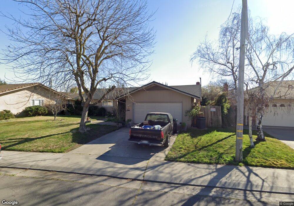
3232 Calhoun Way Unit 36 Stockton, CA 95219
Lincoln Village West NeighborhoodEstimated Value: $465,229 - $499,000
3
Beds
2
Baths
1,473
Sq Ft
$328/Sq Ft
Est. Value
About This Home
This home is located at 3232 Calhoun Way Unit 36, Stockton, CA 95219 and is currently estimated at $483,807, approximately $328 per square foot. 3232 Calhoun Way Unit 36 is a home located in San Joaquin County with nearby schools including Tully C. Knoles School, Sierra Middle School, and Lincoln High School.
Ownership History
Date
Name
Owned For
Owner Type
Purchase Details
Closed on
Dec 5, 2023
Sold by
Debock Jeffrey A
Bought by
Jeffrey A Debock Trust and Debock
Current Estimated Value
Purchase Details
Closed on
May 21, 1997
Sold by
Gail Davis Cynthia
Bought by
Debock Jeffery A
Home Financials for this Owner
Home Financials are based on the most recent Mortgage that was taken out on this home.
Original Mortgage
$125,394
Interest Rate
8.13%
Mortgage Type
FHA
Create a Home Valuation Report for This Property
The Home Valuation Report is an in-depth analysis detailing your home's value as well as a comparison with similar homes in the area
Home Values in the Area
Average Home Value in this Area
Purchase History
| Date | Buyer | Sale Price | Title Company |
|---|---|---|---|
| Jeffrey A Debock Trust | -- | None Listed On Document | |
| Debock Jeffery A | $126,500 | Fidelity National Title |
Source: Public Records
Mortgage History
| Date | Status | Borrower | Loan Amount |
|---|---|---|---|
| Previous Owner | Debock Jeffery A | $125,394 |
Source: Public Records
Tax History Compared to Growth
Tax History
| Year | Tax Paid | Tax Assessment Tax Assessment Total Assessment is a certain percentage of the fair market value that is determined by local assessors to be the total taxable value of land and additions on the property. | Land | Improvement |
|---|---|---|---|---|
| 2025 | $4,725 | $205,195 | $81,426 | $123,769 |
| 2024 | $4,577 | $201,173 | $79,830 | $121,343 |
| 2023 | $4,495 | $197,229 | $78,265 | $118,964 |
| 2022 | $4,165 | $193,363 | $76,731 | $116,632 |
| 2021 | $4,095 | $189,573 | $75,227 | $114,346 |
| 2020 | $4,061 | $187,630 | $74,456 | $113,174 |
| 2019 | $4,026 | $183,952 | $72,997 | $110,955 |
| 2018 | $3,938 | $180,346 | $71,566 | $108,780 |
| 2017 | $3,894 | $176,811 | $70,163 | $106,648 |
| 2016 | $3,581 | $173,345 | $68,788 | $104,557 |
| 2014 | $3,674 | $167,398 | $66,428 | $100,970 |
Source: Public Records
Map
Nearby Homes
- 3216 Polk Way
- 3115 Polk Way
- 6406 Grigsby Place
- 3102 W Swain Rd
- 6078 Carolina Cir
- 6123 Cumberland Place
- 3533 Harpers Ferry Dr
- 2921 Rutledge Ct
- 2935 Prentiss Ct Unit 1844
- 5833 Morgan Place Unit 60
- 2922 Prentiss Ct
- 5815 Morgan Place Unit 18
- 6415 Plymouth Rd
- 2913 Prentiss Ct
- 2914 Prentiss Ct
- 3708 N Merrimac Cir
- 6827 Shiloh Ct
- 6845 Shiloh Ct
- 6724 Plymouth Rd Unit 90
- 6724 Plymouth Rd Unit 54
- 3240 Calhoun Way
- 3220 Calhoun Way
- 3225 Polk Way
- 3217 Polk Way
- 3233 Polk Way
- 3250 Calhoun Way
- 3206 Calhoun Way
- 3233 Calhoun Way
- 3205 Polk Way
- 3225 Calhoun Way
- 3241 Polk Way
- 3241 Calhoun Way
- 3217 Calhoun Way
- 6322 Herndon Place
- 3154 Calhoun Way
- 3155 Polk Way
- 6310 Herndon Place
- 3253 Calhoun Way
- 3205 Calhoun Way
- 3224 Polk Way