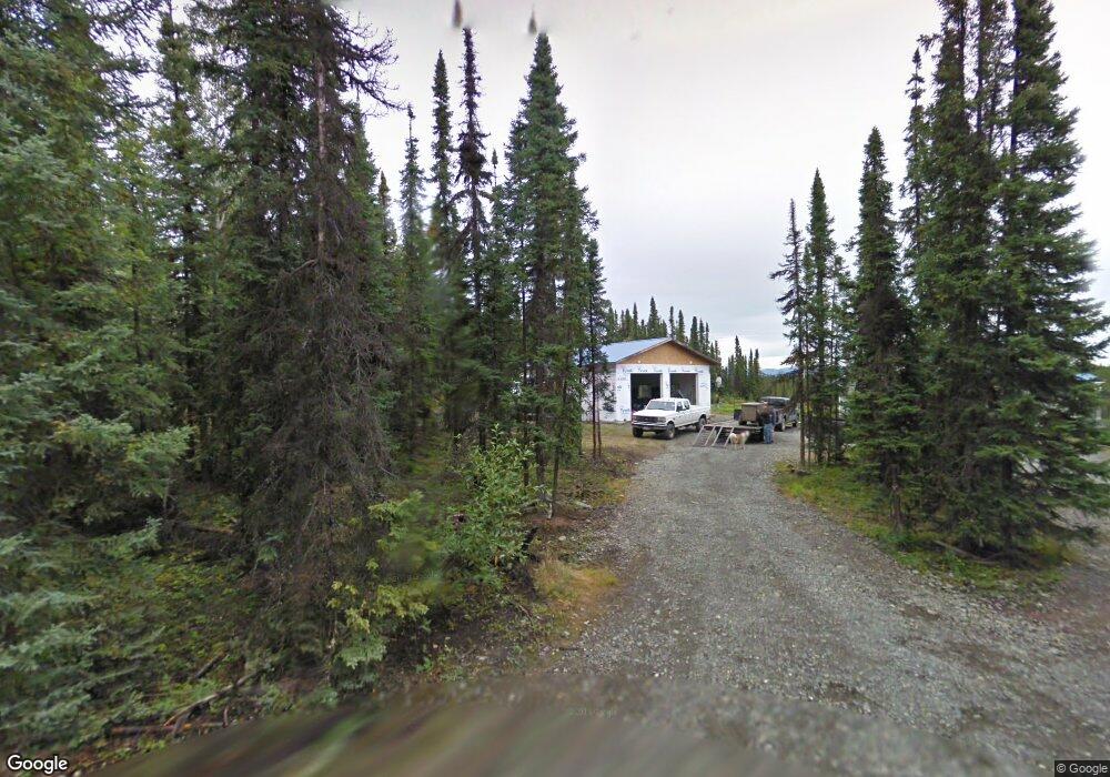
32327 Carrie Ann Ct Sterling, AK 99672
Estimated Value: $244,000 - $372,014
3
Beds
2
Baths
1,454
Sq Ft
$205/Sq Ft
Est. Value
About This Home
This home is located at 32327 Carrie Ann Ct, Sterling, AK 99672 and is currently estimated at $298,671, approximately $205 per square foot. 32327 Carrie Ann Ct is a home located in Kenai Peninsula Borough with nearby schools including Sterling Elementary School, Skyview Middle School, and Soldotna High School.
Ownership History
Date
Name
Owned For
Owner Type
Purchase Details
Closed on
Dec 29, 2008
Sold by
Lacombe John
Bought by
Lacombe John
Current Estimated Value
Home Financials for this Owner
Home Financials are based on the most recent Mortgage that was taken out on this home.
Original Mortgage
$190,272
Interest Rate
6.1%
Mortgage Type
FHA
Create a Home Valuation Report for This Property
The Home Valuation Report is an in-depth analysis detailing your home's value as well as a comparison with similar homes in the area
Home Values in the Area
Average Home Value in this Area
Purchase History
| Date | Buyer | Sale Price | Title Company |
|---|---|---|---|
| Lacombe John | -- | First American Title Ins Co |
Source: Public Records
Mortgage History
| Date | Status | Borrower | Loan Amount |
|---|---|---|---|
| Closed | Lacombe John | $190,272 |
Source: Public Records
Tax History Compared to Growth
Tax History
| Year | Tax Paid | Tax Assessment Tax Assessment Total Assessment is a certain percentage of the fair market value that is determined by local assessors to be the total taxable value of land and additions on the property. | Land | Improvement |
|---|---|---|---|---|
| 2025 | -- | $315,300 | $71,800 | $243,500 |
| 2024 | $1,732 | $286,300 | $66,600 | $219,700 |
| 2023 | $1,732 | $262,200 | $55,400 | $206,800 |
| 2022 | $0 | $214,600 | $50,500 | $164,100 |
| 2021 | $1,732 | $210,300 | $45,100 | $165,200 |
| 2020 | $1,732 | $212,500 | $45,100 | $167,400 |
| 2019 | $1,732 | $215,500 | $45,100 | $170,400 |
| 2018 | $0 | $216,000 | $45,100 | $170,900 |
| 2017 | -- | $221,700 | $51,500 | $170,200 |
| 2016 | $1,732 | $200,700 | $38,700 | $162,000 |
| 2015 | $1,836 | $205,600 | $20,000 | $185,600 |
| 2014 | $1,836 | $200,800 | $20,000 | $180,800 |
Source: Public Records
Map
Nearby Homes
- 38951 Otter Trail Rd
- L9 Patty Ave
- 38367 Stans St
- 32395 Ruth Ln
- Lot 3 Bent Rod Ct
- Lot 1 Bent Rod Ct
- Lot 5 Bent Rod Ct
- 34775 Sterling Hwy
- 32280 Moonshine Dr
- 35160 Cherokee Ln
- 35181 Stassi Ln
- 000 No Real Property
- L12 Lambeau Ct
- L1 Lambeau Ct
- L5 Lambeau Ct
- Lot 10 Lambeau Ct
- Lot 11 Lambeau Ct
- Lot 13 Lambeau Ct
- L15 Moosetadon Dr
- 35181 Entrada Dr
- 32335 Carrie Ann Ct
- L2 Carrie Ct
- 39630 Flash Cir
- L13 Carrie Ann Ct
- 32348 Carrie Ann Ct
- 39650 Flash Cir
- L12 Christine Dr
- 39597 Flash Cir
- 39615 Flash Cir
- 39700 Flash Cir
- 39700 Christine Dr
- 39880 Otter Trail Rd
- 39645 Flash Cir
- 39625 Flash Cir
- 39847 Flash Cir
- 39794 Otter Trail Rd
- 40116 Otter Trail Rd
- 32820 Otter Trail Rd
- 40030 Otter Trail Rd
- 39855 Otter Trail Rd