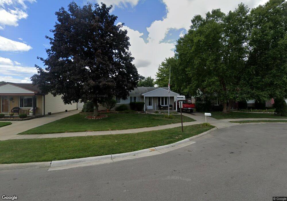
32359 Bristol Ct Fraser, MI 48026
Estimated Value: $275,683 - $295,000
3
Beds
1
Bath
1,420
Sq Ft
$200/Sq Ft
Est. Value
About This Home
This home is located at 32359 Bristol Ct, Fraser, MI 48026 and is currently estimated at $284,671, approximately $200 per square foot. 32359 Bristol Ct is a home located in Macomb County with nearby schools including Ralph Waldo Emerson Elementary School, Richards Middle School, and Fraser High School.
Ownership History
Date
Name
Owned For
Owner Type
Purchase Details
Closed on
May 22, 2009
Sold by
Swisher Michael C and Swisher Clare Elizabeth
Bought by
Muylaert Robert C
Current Estimated Value
Create a Home Valuation Report for This Property
The Home Valuation Report is an in-depth analysis detailing your home's value as well as a comparison with similar homes in the area
Home Values in the Area
Average Home Value in this Area
Purchase History
| Date | Buyer | Sale Price | Title Company |
|---|---|---|---|
| Muylaert Robert C | $127,500 | Visionary Title Agency Llc |
Source: Public Records
Tax History Compared to Growth
Tax History
| Year | Tax Paid | Tax Assessment Tax Assessment Total Assessment is a certain percentage of the fair market value that is determined by local assessors to be the total taxable value of land and additions on the property. | Land | Improvement |
|---|---|---|---|---|
| 2025 | $5,113 | $133,200 | $0 | $0 |
| 2024 | $4,168 | $125,000 | $0 | $0 |
| 2023 | $2,947 | $112,100 | $0 | $0 |
| 2022 | $4,603 | $98,400 | $0 | $0 |
| 2021 | $3,681 | $94,600 | $0 | $0 |
| 2020 | $4,514 | $89,100 | $0 | $0 |
| 2019 | $4,056 | $79,600 | $0 | $0 |
| 2018 | $5,001 | $77,500 | $0 | $0 |
| 2017 | $3,736 | $69,377 | $14,319 | $55,058 |
| 2016 | $2,621 | $69,390 | $0 | $0 |
| 2015 | -- | $62,840 | $0 | $0 |
| 2013 | $2,227 | $51,414 | $0 | $0 |
| 2011 | -- | $55,565 | $15,890 | $39,675 |
Source: Public Records
Map
Nearby Homes
- 15958 Kingston Dr
- 15668 Masonic
- 15621 Lauren
- 15801 Toulouse Unit 6
- 33125 Mazara
- 16405 Erin
- 33228 Nicola Dr
- 16320 Masonic Blvd
- 14717 Colpaert Dr
- 31341 Hayes Rd
- 14765 Chippewa Dr
- 14646 Murthum Ave
- 31707 Gloede Dr
- 31263 Hayes Rd
- 31745 Schoolcraft
- 15085 Kara Ln
- 31070 Hayes Rd
- 14514 Peck Dr
- 33420 Utica Rd
- 33333 Groth Dr
- 32347 Bristol Ct
- 32371 Bristol Ct
- 32335 Bristol Ct
- 32358 Sheffield Ct
- 32379 Bristol Ct
- 32370 Sheffield Ct
- 32346 Sheffield Ct
- 32360 Bristol Ct
- 32348 Bristol Ct
- 32334 Sheffield Ct
- 32380 Bristol Ct
- 32323 Bristol Ct
- 26106 Sheffield Ct
- 32372 Bristol Ct
- 32336 Bristol Ct
- 32378 Sheffield Ct
- 32322 Sheffield Ct
- 32324 Bristol Ct
- 32309 Bristol Ct
- 15534 Kingston Dr