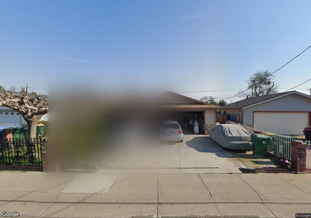
3236 S Airport Way Stockton, CA 95206
Kennedy NeighborhoodEstimated Value: $275,000 - $413,000
3
Beds
2
Baths
1,232
Sq Ft
$286/Sq Ft
Est. Value
About This Home
This home is located at 3236 S Airport Way, Stockton, CA 95206 and is currently estimated at $352,602, approximately $286 per square foot. 3236 S Airport Way is a home located in San Joaquin County with nearby schools including Van Buren Elementary School, Alexander Hamilton Elementary, and Monroe Elementary School.
Ownership History
Date
Name
Owned For
Owner Type
Purchase Details
Closed on
May 19, 2015
Sold by
Reyes Miguel Angel Gonzalez
Bought by
Gonzalez Juana M
Current Estimated Value
Purchase Details
Closed on
Feb 22, 2010
Sold by
Salcedo Jesus
Bought by
Reyes Miguel Angel Gonzalez and Gonzalez Juana M
Home Financials for this Owner
Home Financials are based on the most recent Mortgage that was taken out on this home.
Original Mortgage
$88,369
Outstanding Balance
$59,844
Interest Rate
5.5%
Mortgage Type
FHA
Estimated Equity
$292,758
Create a Home Valuation Report for This Property
The Home Valuation Report is an in-depth analysis detailing your home's value as well as a comparison with similar homes in the area
Home Values in the Area
Average Home Value in this Area
Purchase History
| Date | Buyer | Sale Price | Title Company |
|---|---|---|---|
| Gonzalez Juana M | -- | None Available | |
| Reyes Miguel Angel Gonzalez | $90,000 | Chicago Title Company |
Source: Public Records
Mortgage History
| Date | Status | Borrower | Loan Amount |
|---|---|---|---|
| Open | Reyes Miguel Angel Gonzalez | $88,369 |
Source: Public Records
Tax History Compared to Growth
Tax History
| Year | Tax Paid | Tax Assessment Tax Assessment Total Assessment is a certain percentage of the fair market value that is determined by local assessors to be the total taxable value of land and additions on the property. | Land | Improvement |
|---|---|---|---|---|
| 2025 | $1,449 | $116,161 | $28,393 | $87,768 |
| 2024 | $1,426 | $113,885 | $27,837 | $86,048 |
| 2023 | $1,394 | $111,653 | $27,292 | $84,361 |
| 2022 | $1,380 | $109,464 | $26,757 | $82,707 |
| 2021 | $1,327 | $107,319 | $26,233 | $81,086 |
| 2020 | $1,352 | $106,220 | $25,965 | $80,255 |
| 2019 | $1,347 | $104,138 | $25,456 | $78,682 |
| 2018 | $1,322 | $102,097 | $24,957 | $77,140 |
| 2017 | $1,253 | $100,096 | $24,468 | $75,628 |
| 2016 | $1,275 | $98,134 | $23,988 | $74,146 |
| 2014 | -- | $94,769 | $23,166 | $71,603 |
Source: Public Records
Map
Nearby Homes
- 3204 Volney St
- 3028 Malisa Way
- 3349 Zamora Way
- 3338 Zamora Way
- 1711 Benedino Cir
- 2427 S Pilgrim St
- 2150 Michael Ave
- 1646 E 8th St
- 1521 Spring St
- 2121 Scribner St
- 1105 E 7th St
- 2041 Superior St
- 2033 Superior St
- 2288 E Loomis Rd
- 2213 Peralta Ave
- 2318 E Loomis Rd
- 2321 Amboy Ave
- 2211 Peralta Ave
- 2328 E Loomis Rd
- 2040 Sikh Temple St
- 3228 S Airport Way Unit 1
- 3244 S Airport Way
- 3220 S Airport Way
- 3252 S Airport Way
- 3235 Phelps St
- 3227 Phelps St
- 3243 Phelps St
- 3212 S Airport Way
- 3219 Phelps St
- 3262 S Airport Way
- 3251 Phelps St
- 3211 Phelps St
- 3259 Phelps St
- 3203 Phelps St
- 3066 S Airport Way
- 3067 Phelps St
- 3267 Phelps St
- 3060 S Airport Way
- 3059 Phelps St
- 3004 Phelps St