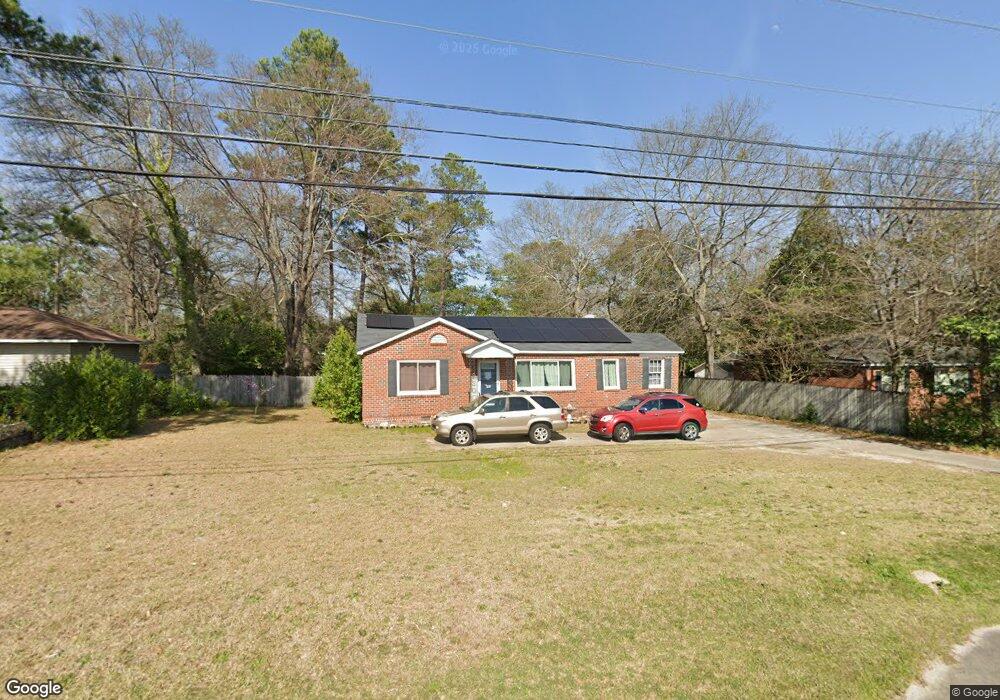
3239 W Britt David Rd Columbus, GA 31909
Estimated Value: $164,825 - $202,000
3
Beds
3
Baths
1,306
Sq Ft
$143/Sq Ft
Est. Value
About This Home
This home is located at 3239 W Britt David Rd, Columbus, GA 31909 and is currently estimated at $186,706, approximately $142 per square foot. 3239 W Britt David Rd is a home located in Muscogee County with nearby schools including Allen Elementary School, Arnold Middle School, and Jordan Vocational High School.
Ownership History
Date
Name
Owned For
Owner Type
Purchase Details
Closed on
Jul 24, 2017
Sold by
Halvorson Wesley James
Bought by
Cargal David and Cargal Lindsey
Current Estimated Value
Home Financials for this Owner
Home Financials are based on the most recent Mortgage that was taken out on this home.
Original Mortgage
$98,164
Outstanding Balance
$81,580
Interest Rate
3.9%
Mortgage Type
New Conventional
Estimated Equity
$105,126
Purchase Details
Closed on
Jun 17, 2009
Sold by
Kennon Realty Services Inc
Bought by
Halvorson Wesley James
Home Financials for this Owner
Home Financials are based on the most recent Mortgage that was taken out on this home.
Original Mortgage
$107,025
Interest Rate
4.77%
Mortgage Type
FHA
Create a Home Valuation Report for This Property
The Home Valuation Report is an in-depth analysis detailing your home's value as well as a comparison with similar homes in the area
Home Values in the Area
Average Home Value in this Area
Purchase History
| Date | Buyer | Sale Price | Title Company |
|---|---|---|---|
| Cargal David | $101,200 | -- | |
| Halvorson Wesley James | $109,000 | None Available |
Source: Public Records
Mortgage History
| Date | Status | Borrower | Loan Amount |
|---|---|---|---|
| Open | Cargal David | $98,164 | |
| Previous Owner | Halvorson Wesley James | $107,025 |
Source: Public Records
Tax History Compared to Growth
Tax History
| Year | Tax Paid | Tax Assessment Tax Assessment Total Assessment is a certain percentage of the fair market value that is determined by local assessors to be the total taxable value of land and additions on the property. | Land | Improvement |
|---|---|---|---|---|
| 2025 | $980 | $47,756 | $8,896 | $38,860 |
| 2024 | $978 | $47,756 | $8,896 | $38,860 |
| 2023 | $290 | $47,756 | $8,896 | $38,860 |
| 2022 | $1,020 | $41,000 | $8,896 | $32,104 |
| 2021 | $1,013 | $38,208 | $8,896 | $29,312 |
| 2020 | $1,014 | $38,208 | $8,896 | $29,312 |
| 2019 | $1,019 | $38,208 | $8,896 | $29,312 |
| 2018 | $1,019 | $38,208 | $8,896 | $29,312 |
| 2017 | $1,406 | $35,568 | $8,896 | $26,672 |
| 2016 | $1,412 | $47,510 | $7,180 | $40,330 |
| 2015 | $1,415 | $47,510 | $7,180 | $40,330 |
| 2014 | $1,417 | $47,510 | $7,180 | $40,330 |
| 2013 | -- | $47,510 | $7,180 | $40,330 |
Source: Public Records
Map
Nearby Homes
- 3308 Mustang Dr
- 5435 Wayne Dr
- 3618 Grier Ave
- 5552 Perry Ave
- 5817 Sherborne Dr
- 3710 Winkfield Place
- 5836 Sherborne Dr
- 5829 Ventura Dr
- 3504 Vernon Dr
- 3872 E Britt David Rd
- 2813 Hart Dr
- 5216 Moon Rd
- 5517 Rodgers Dr
- 6138 Seaton Dr
- 5540 Rodgers Dr
- 3325 N North Quay Dr
- 5829 Moon Rd
- 2325 Coventry Dr
- 6221 Charing Dr
- 2528 Lorraine St
- 3247 W Britt David Rd
- 3231 W Britt David Rd
- 3302 Mustang Dr
- 3250 Mustang Dr
- 3242 Mustang Dr
- 3223 W Britt David Rd
- 3255 W Britt David Rd
- 3316 Mustang Dr
- 3236 Mustang Dr
- 3230 Mustang Dr
- 3251 Mustang Dr
- 3303 Mustang Dr
- 3245 Mustang Dr
- 3309 Mustang Dr
- 3313 W Britt David Rd
- 5091 Mustang Dr
- 3239 Mustang Dr
- 3207 W Britt David Rd
- 5416 Grumman Ave
- 3317 Mustang Dr