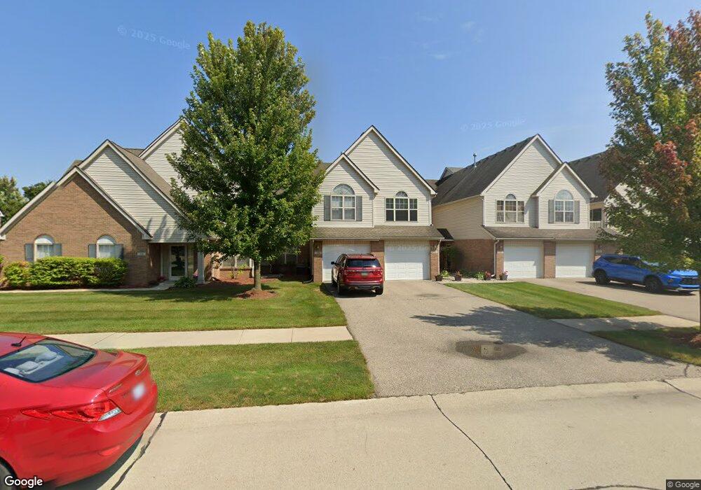
324 Brookfield Dr Unit 7 Westland, MI 48185
Estimated Value: $244,045 - $307,000
3
Beds
2
Baths
1,683
Sq Ft
$159/Sq Ft
Est. Value
About This Home
This home is located at 324 Brookfield Dr Unit 7, Westland, MI 48185 and is currently estimated at $267,761, approximately $159 per square foot. 324 Brookfield Dr Unit 7 is a home located in Wayne County with nearby schools including P.D. Graham Elementary School, Adlai Stevenson Middle School, and John Glenn High School.
Ownership History
Date
Name
Owned For
Owner Type
Purchase Details
Closed on
Jun 28, 2022
Sold by
Oser Paul E
Bought by
Oser Susan E and Oser Paul E
Current Estimated Value
Purchase Details
Closed on
Jun 30, 2006
Sold by
Galaxy Builders Inc
Bought by
Oser Paul E
Purchase Details
Closed on
Mar 10, 2006
Sold by
Brookfield Village Llc
Bought by
Galaxy Builders Inc
Create a Home Valuation Report for This Property
The Home Valuation Report is an in-depth analysis detailing your home's value as well as a comparison with similar homes in the area
Home Values in the Area
Average Home Value in this Area
Purchase History
We collect this data history from publicly available records. To have your information removed, we recommend requesting removal directly through your county’s website.
| Date | Buyer | Sale Price | Title Company |
|---|---|---|---|
| Oser Susan E | -- | Land Title | |
| Oser Paul E | $188,595 | Greco | |
| Galaxy Builders Inc | $32,500 | Greco |
Source: Public Records
Tax History
| Year | Tax Paid | Tax Assessment Tax Assessment Total Assessment is a certain percentage of the fair market value that is determined by local assessors to be the total taxable value of land and additions on the property. | Land | Improvement |
|---|---|---|---|---|
| 2025 | $2,051 | $110,800 | $0 | $0 |
| 2024 | $2,011 | $108,600 | $0 | $0 |
| 2023 | $1,920 | $99,200 | $0 | $0 |
| 2022 | $2,233 | $86,100 | $0 | $0 |
| 2021 | $2,177 | $80,400 | $0 | $0 |
| 2020 | $2,151 | $77,700 | $0 | $0 |
| 2019 | $2,075 | $73,500 | $0 | $0 |
| 2018 | $681 | $68,100 | $0 | $0 |
| 2017 | $738 | $67,100 | $0 | $0 |
| 2016 | $2,024 | $64,700 | $0 | $0 |
| 2015 | $3,934 | $59,320 | $0 | $0 |
| 2013 | $3,811 | $39,960 | $0 | $0 |
| 2012 | $1,834 | $40,230 | $0 | $0 |
Source: Public Records
Map
Nearby Homes
- 435 Carson Dr Unit 146
- 127 S John Hix St
- 312 Marigold Cir Unit 52
- 314 Marigold Cir Unit 49
- 374 Randolph St
- 348 Meadowlake Rd
- 38604 Maes St
- 870 N Lotz Rd
- 386 Charterhouse Ct
- 700 N Lotz Rd
- 457 N Sybald St
- 381 S Norma St
- 0 Cherry Hill Unit 16924
- 324 Cherry Hill Pointe Dr Unit 27
- 39206 Nottingham St
- 578 Worchester St
- 39815 Scottsdale Dr
- 1750 N Hix Rd
- 38032 Hixford Place Unit 20
- 38152 Hixford Place
- 308 Brookfield Dr Unit 3
- 203 Carson Dr Unit 166
- 172 Carson Dr Unit 122
- 328 Brookfield Dr Unit 8
- 166 Carson Dr Unit 121
- 386 Brookfield Dr Unit 22
- 295 Carson Dr Unit 155
- 370 Brookfield Dr Unit 18
- 394 Brookfield Dr Unit 24
- 310 Carson Dr Unit 133
- 293 Brookfield Dr Unit 27
- 225 Carson Dr Unit 161
- 382 Brookfield Dr Unit 21
- 344 Brookfield Dr Unit 12
- 356 Brookfield Dr Unit 14
- 355 Carson Dr Unit 152
- 124 Carson Dr Unit 114
- 332 Brookfield Dr Unit 9
- 362 Brookfield Dr Unit 16
- 304 Brookfield Dr Unit 2
Your Personal Tour Guide
Ask me questions while you tour the home.