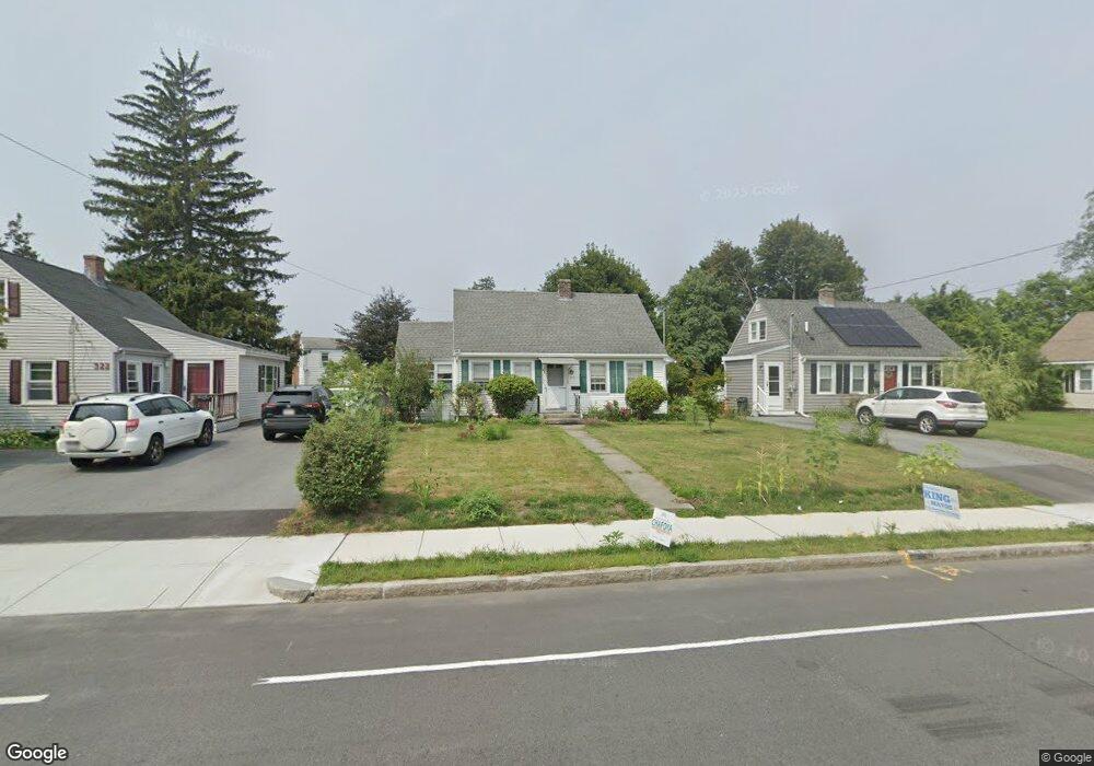
324 Burncoat St Worcester, MA 01606
Greendale NeighborhoodEstimated Value: $341,000 - $411,000
4
Beds
1
Bath
1,080
Sq Ft
$348/Sq Ft
Est. Value
About This Home
This home is located at 324 Burncoat St, Worcester, MA 01606 and is currently estimated at $375,374, approximately $347 per square foot. 324 Burncoat St is a home located in Worcester County with nearby schools including Jacob Hiatt Magnet School, Chandler Magnet, and Thorndyke Road School.
Ownership History
Date
Name
Owned For
Owner Type
Purchase Details
Closed on
Oct 30, 2020
Sold by
Desimone Anthony C and Desimone Sandra M
Bought by
Hernandez Gavino D and Rivera-Diaz Ana S
Current Estimated Value
Home Financials for this Owner
Home Financials are based on the most recent Mortgage that was taken out on this home.
Original Mortgage
$230,743
Outstanding Balance
$205,328
Interest Rate
2.8%
Mortgage Type
FHA
Estimated Equity
$170,046
Create a Home Valuation Report for This Property
The Home Valuation Report is an in-depth analysis detailing your home's value as well as a comparison with similar homes in the area
Home Values in the Area
Average Home Value in this Area
Purchase History
| Date | Buyer | Sale Price | Title Company |
|---|---|---|---|
| Hernandez Gavino D | $235,000 | None Available |
Source: Public Records
Mortgage History
| Date | Status | Borrower | Loan Amount |
|---|---|---|---|
| Open | Hernandez Gavino D | $230,743 |
Source: Public Records
Tax History Compared to Growth
Tax History
| Year | Tax Paid | Tax Assessment Tax Assessment Total Assessment is a certain percentage of the fair market value that is determined by local assessors to be the total taxable value of land and additions on the property. | Land | Improvement |
|---|---|---|---|---|
| 2025 | $4,324 | $327,800 | $107,900 | $219,900 |
| 2024 | $4,243 | $308,600 | $107,900 | $200,700 |
| 2023 | $4,060 | $283,100 | $93,800 | $189,300 |
| 2022 | $3,711 | $244,000 | $75,000 | $169,000 |
| 2021 | $3,479 | $213,700 | $60,000 | $153,700 |
| 2020 | $3,393 | $199,600 | $60,000 | $139,600 |
| 2019 | $3,226 | $179,200 | $54,000 | $125,200 |
| 2018 | $3,236 | $171,100 | $54,000 | $117,100 |
| 2017 | $3,073 | $159,900 | $54,000 | $105,900 |
| 2016 | $3,026 | $146,800 | $40,900 | $105,900 |
| 2015 | $2,946 | $146,800 | $40,900 | $105,900 |
| 2014 | $2,868 | $146,800 | $40,900 | $105,900 |
Source: Public Records
Map
Nearby Homes
- 314 Burncoat St
- 80 Clark St
- 3 Granville Ave
- 18 Claffey Ave
- 43 Fales St
- 134 Whitmarsh Ave
- 40 Francis St
- 14 Housatonic St
- 113 Bay State Rd
- 15 Inwood Rd
- 14 Fales St
- 120 Bay State Rd
- 68 Housatonic St
- 95 Saint Nicholas Ave
- 48 Wilkinson St
- 34 King Philip Rd
- 276 Saint Nicholas Ave
- 14 Mary Ann Dr
- 28 Brooks St
- 29 E Mountain
- 322 Burncoat St
- 326 Burncoat St
- 14 Chatham Village Rd
- 16 Chatham Village Rd
- 328 Burncoat St
- 320 Burncoat St
- 12 Chatham Village Rd
- 18 Chatham Village Rd
- 321 Burncoat St
- 330 Burncoat St
- 317 Burncoat St
- 10 Chatham Village Rd
- 20 Chatham Village Rd
- 325 Burncoat St
- 315 Burncoat St
- 332 Burncoat St
- 2 Chatham Village Rd
- 17 Chatham Village Rd
- 15 Chatham Village Rd
- 327 Burncoat St