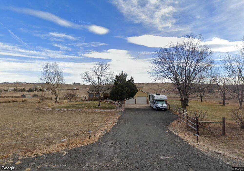
324 Colt Dr Loveland, CO 80537
Estimated Value: $663,594 - $829,000
3
Beds
2
Baths
1,671
Sq Ft
$452/Sq Ft
Est. Value
About This Home
This home is located at 324 Colt Dr, Loveland, CO 80537 and is currently estimated at $755,399, approximately $452 per square foot. 324 Colt Dr is a home located in Larimer County with nearby schools including Big Thompson Elementary School, Walt Clark Middle School, and Thompson Valley High School.
Ownership History
Date
Name
Owned For
Owner Type
Purchase Details
Closed on
Jul 30, 2014
Sold by
Vandenberg Wayne
Bought by
Vandenberg Wayne and Taigman Susan G
Current Estimated Value
Purchase Details
Closed on
Apr 12, 2002
Sold by
Mccrimmon Ronald B
Bought by
Vandenberg Wayne
Home Financials for this Owner
Home Financials are based on the most recent Mortgage that was taken out on this home.
Original Mortgage
$234,800
Interest Rate
6.83%
Purchase Details
Closed on
Jan 15, 2002
Sold by
Hanson Timothy A and Hanson Sandra Lee
Bought by
Mccrimmon Ronald B
Home Financials for this Owner
Home Financials are based on the most recent Mortgage that was taken out on this home.
Original Mortgage
$240,809
Interest Rate
6.75%
Purchase Details
Closed on
Mar 1, 1992
Sold by
Hanson Timothy A
Bought by
Hanson Sandra Lee
Create a Home Valuation Report for This Property
The Home Valuation Report is an in-depth analysis detailing your home's value as well as a comparison with similar homes in the area
Home Values in the Area
Average Home Value in this Area
Purchase History
| Date | Buyer | Sale Price | Title Company |
|---|---|---|---|
| Vandenberg Wayne | -- | None Available | |
| Vandenberg Wayne | $293,500 | Security Title | |
| Mccrimmon Ronald B | $298,000 | Security Title | |
| Hanson Sandra Lee | -- | -- |
Source: Public Records
Mortgage History
| Date | Status | Borrower | Loan Amount |
|---|---|---|---|
| Previous Owner | Vandenberg Wayne | $234,800 | |
| Previous Owner | Mccrimmon Ronald B | $240,809 |
Source: Public Records
Tax History Compared to Growth
Tax History
| Year | Tax Paid | Tax Assessment Tax Assessment Total Assessment is a certain percentage of the fair market value that is determined by local assessors to be the total taxable value of land and additions on the property. | Land | Improvement |
|---|---|---|---|---|
| 2025 | $2,876 | $45,707 | $13,065 | $32,642 |
| 2024 | $2,776 | $45,707 | $13,065 | $32,642 |
| 2022 | $2,244 | $35,411 | $5,213 | $30,198 |
| 2021 | $2,303 | $36,430 | $5,363 | $31,067 |
| 2020 | $1,813 | $30,195 | $5,363 | $24,832 |
| 2019 | $2,334 | $30,195 | $5,363 | $24,832 |
| 2018 | $1,903 | $23,350 | $5,400 | $17,950 |
| 2017 | $1,637 | $23,350 | $5,400 | $17,950 |
| 2016 | $1,592 | $21,946 | $5,970 | $15,976 |
| 2015 | $1,578 | $21,950 | $5,970 | $15,980 |
| 2014 | $1,594 | $21,440 | $5,970 | $15,470 |
Source: Public Records
Map
Nearby Homes
- 240 Garnet Valley Ct
- 512 Mustang Dr
- 712 Colt Dr
- 6811 W County Road 20
- 5925 Sacajawea Way
- 684 Deer Meadow Dr
- 5794 Jackdaw Dr
- 7864 Heart J Trail
- 629 Deer Meadow Dr
- 404 Black Elk Ct
- 1703 N County Road 23h
- 940 S County Road 29
- 347 Meadowsweet Cir
- 270 N Cove Dr
- 8150 Open View Place
- 459 Cape Dory Dr
- 5418 Nantucket Ct
- 1016 Meadowridge Ct
- 5360 Lighthouse Point Ct
- 6950 W County Road 18