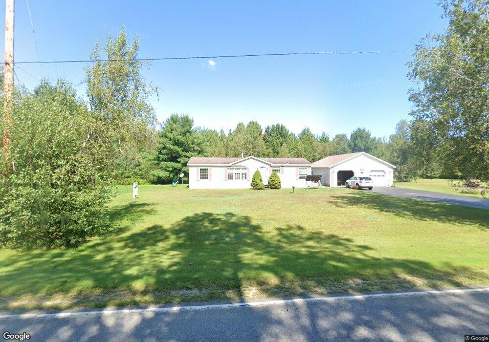
324 Davison Rd Mooers Forks, NY 12959
Estimated Value: $158,000 - $209,000
3
Beds
2
Baths
1,404
Sq Ft
$123/Sq Ft
Est. Value
About This Home
This home is located at 324 Davison Rd, Mooers Forks, NY 12959 and is currently estimated at $172,281, approximately $122 per square foot. 324 Davison Rd is a home located in Clinton County with nearby schools including Northeastern Clinton Senior High School.
Ownership History
Date
Name
Owned For
Owner Type
Purchase Details
Closed on
Oct 6, 2020
Sold by
Gooley Kerri L
Bought by
Greene Gregory A
Current Estimated Value
Home Financials for this Owner
Home Financials are based on the most recent Mortgage that was taken out on this home.
Original Mortgage
$95,000
Outstanding Balance
$84,343
Interest Rate
2.8%
Mortgage Type
New Conventional
Estimated Equity
$87,938
Purchase Details
Closed on
Oct 27, 1998
Sold by
Gooley Eric P
Bought by
Woodruff Kerri L
Purchase Details
Closed on
Jun 25, 1998
Sold by
See Attached Sheet
Bought by
Gooley Eric P and Woodruff Kerri L
Create a Home Valuation Report for This Property
The Home Valuation Report is an in-depth analysis detailing your home's value as well as a comparison with similar homes in the area
Home Values in the Area
Average Home Value in this Area
Purchase History
| Date | Buyer | Sale Price | Title Company |
|---|---|---|---|
| Greene Gregory A | $100,000 | None Available | |
| Woodruff Kerri L | -- | -- | |
| Gooley Eric P | -- | -- |
Source: Public Records
Mortgage History
| Date | Status | Borrower | Loan Amount |
|---|---|---|---|
| Open | Greene Gregory A | $95,000 |
Source: Public Records
Tax History Compared to Growth
Tax History
| Year | Tax Paid | Tax Assessment Tax Assessment Total Assessment is a certain percentage of the fair market value that is determined by local assessors to be the total taxable value of land and additions on the property. | Land | Improvement |
|---|---|---|---|---|
| 2024 | $3,161 | $133,700 | $26,300 | $107,400 |
| 2023 | $3,280 | $133,700 | $26,300 | $107,400 |
| 2022 | $3,349 | $124,300 | $22,300 | $102,000 |
| 2021 | $3,604 | $112,400 | $15,600 | $96,800 |
| 2020 | $2,842 | $112,400 | $15,600 | $96,800 |
| 2019 | $2,814 | $112,400 | $15,600 | $96,800 |
| 2018 | $2,814 | $112,400 | $15,600 | $96,800 |
| 2017 | $3,795 | $107,900 | $15,600 | $92,300 |
| 2016 | $2,619 | $107,900 | $15,600 | $92,300 |
| 2015 | -- | $106,000 | $15,600 | $90,400 |
| 2014 | -- | $106,000 | $8,100 | $97,900 |
Source: Public Records
Map
Nearby Homes
- 188 Blackman Corners Rd
- 3373 U S 11
- 3107 U S 11
- 0 N Star Rd Unit 202564
- 1428 N Star Rd
- 391 Gilbert Rd
- 00 Route 11
- 0 Unit 178956
- 2030 Alder Bend Rd
- 2344 U S 11
- 1328 N Star Rd
- 1335 Hemmingford Rd
- 2247 State Route 11
- 235 Letson Rd
- 2949 Miner Farm Rd
- 149 Green Valley Rd
- L1.4 Drown Rd
- 0 Drown Rd
- 107 Pinewood Dr
- 57 Pinewood Dr
- 306 Davison Rd
- 292 Davison Rd
- 280 Davison Rd
- 270 Davison Rd
- 260 Davison Rd
- 224 Davison Rd
- 218 Davison Rd
- 212 Davison Rd
- 444 Davison Rd
- 445 Davison Rd
- 204 Davison Rd
- 196 Davison Rd Unit 198
- 467 Davison Rd
- 180 Davison Rd
- 154 Big Hill Rd
- 227 Blackman Corners Rd
- 195 Blackman Corners Rd
- 242 Blackman Corners Rd
- 246 Blackman Corners Rd
- 221 Big Hill Rd