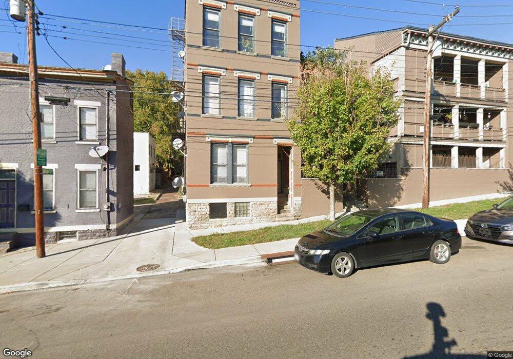
324 E Liberty Hill Unit 9 Cincinnati, OH 45202
Mount Auburn NeighborhoodEstimated Value: $265,000 - $381,000
3
Beds
2
Baths
1,530
Sq Ft
$220/Sq Ft
Est. Value
About This Home
This home is located at 324 E Liberty Hill Unit 9, Cincinnati, OH 45202 and is currently estimated at $335,918, approximately $219 per square foot. 324 E Liberty Hill Unit 9 is a home located in Hamilton County with nearby schools including Rothenberg Preparatory Academy, Robert A. Taft Information Technology High School, and Gilbert A. Dater High School.
Ownership History
Date
Name
Owned For
Owner Type
Purchase Details
Closed on
Jun 16, 2006
Sold by
The First Step Home Inc
Bought by
Eber Development Llc
Current Estimated Value
Home Financials for this Owner
Home Financials are based on the most recent Mortgage that was taken out on this home.
Original Mortgage
$475,200
Interest Rate
6.73%
Mortgage Type
Unknown
Create a Home Valuation Report for This Property
The Home Valuation Report is an in-depth analysis detailing your home's value as well as a comparison with similar homes in the area
Home Values in the Area
Average Home Value in this Area
Purchase History
| Date | Buyer | Sale Price | Title Company |
|---|---|---|---|
| Eber Development Llc | $310,000 | None Available |
Source: Public Records
Mortgage History
| Date | Status | Borrower | Loan Amount |
|---|---|---|---|
| Closed | Eber Development Llc | $475,200 |
Source: Public Records
Tax History Compared to Growth
Tax History
| Year | Tax Paid | Tax Assessment Tax Assessment Total Assessment is a certain percentage of the fair market value that is determined by local assessors to be the total taxable value of land and additions on the property. | Land | Improvement |
|---|---|---|---|---|
| 2024 | $4,237 | $66,927 | $4,200 | $62,727 |
| 2023 | $4,245 | $66,927 | $4,200 | $62,727 |
| 2022 | $4,287 | $60,823 | $2,394 | $58,429 |
| 2021 | $4,214 | $60,823 | $2,394 | $58,429 |
| 2020 | $4,227 | $60,823 | $2,394 | $58,429 |
| 2019 | $4,071 | $53,354 | $2,100 | $51,254 |
| 2018 | $4,074 | $53,354 | $2,100 | $51,254 |
| 2017 | $3,924 | $53,354 | $2,100 | $51,254 |
| 2016 | $4,036 | $53,515 | $2,100 | $51,415 |
| 2015 | $3,607 | $53,515 | $2,100 | $51,415 |
| 2014 | $3,626 | $53,515 | $2,100 | $51,415 |
| 2013 | $3,689 | $53,515 | $2,100 | $51,415 |
Source: Public Records
Map
Nearby Homes
- 330 Milton St
- 1619 Mansfield St
- 412 Liberty Hill
- 4 Pueblo St
- 3 Pueblo St
- 5 Pueblo St
- 432 Boal St
- 436 Boal St
- 220 E Liberty St
- 323 Mulberry St
- 446 Liberty Hill
- B Boal St
- 500 Milton St
- 220 Orchard St
- 1330 Broadway St
- 320 Mulberry St
- 521 Liberty Hill
- 304 Mulberry St
- 154 E McMicken Ave
- 163 E McMicken Ave
- 324 E Liberty Hill Unit 8
- 324 E Liberty Hill Unit 7
- 324 E Liberty Hill Unit 3
- 324 E Liberty Hill Unit 1
- 324 E Liberty Hill Unit 2
- 322 E Liberty Hill
- 1603 Broadway St Unit 5
- 1603 Broadway St Unit 4
- 1603 Broadway St Unit 6
- 1603 Broadway St Unit 3
- 1603 Broadway St Unit 1
- 1603 Broadway St Unit 2
- 1601 Broadway St Unit 2
- 1601 Broadway St Unit 1
- 1601 Broadway St Unit 3
- 1605 Broadway St
- 1602 Mansfield St
- 1602 Mansfield St Unit ID1056028P
- 1600 Mansfield St
- 1608 Mansfield St