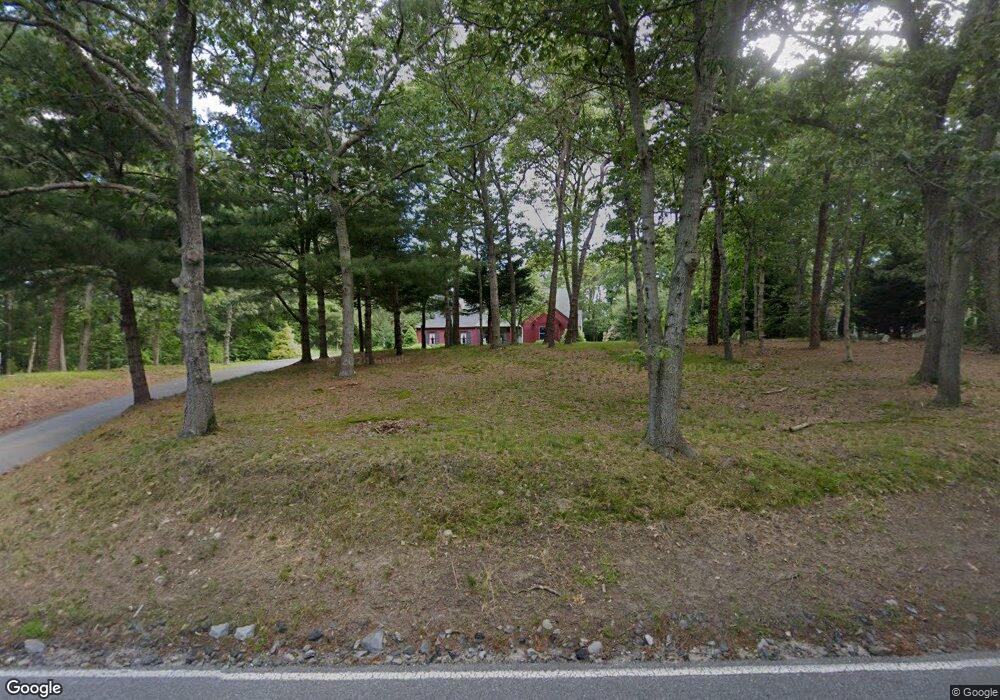
324 High St West Barnstable, MA 02668
West Barnstable NeighborhoodEstimated Value: $928,000 - $992,000
4
Beds
5
Baths
2,201
Sq Ft
$439/Sq Ft
Est. Value
About This Home
This home is located at 324 High St, West Barnstable, MA 02668 and is currently estimated at $966,368, approximately $439 per square foot. 324 High St is a home located in Barnstable County with nearby schools including West Barnstable Elementary School, Barnstable United Elementary School, and Barnstable Intermediate School.
Ownership History
Date
Name
Owned For
Owner Type
Purchase Details
Closed on
Sep 23, 1997
Sold by
Talsi Constr Cop
Bought by
Michael William
Current Estimated Value
Purchase Details
Closed on
Dec 3, 1991
Sold by
City Sb Of Pittsfield
Bought by
Moreton Steven P
Purchase Details
Closed on
Oct 31, 1991
Sold by
City Sb Of Pittsfield
Bought by
Mahoney Walter D
Purchase Details
Closed on
Jul 26, 1991
Sold by
City Sb Pittsfield
Bought by
Robert Edmunds Enterpr
Purchase Details
Closed on
Jul 19, 1991
Sold by
Wilco Rt
Bought by
City Sb Of Pittsfield
Purchase Details
Closed on
Sep 18, 1990
Sold by
Norris Peter M
Bought by
Nwe Inc
Purchase Details
Closed on
Oct 25, 1989
Sold by
Aygro Corp
Bought by
Begley Mark J
Purchase Details
Closed on
Jun 8, 1987
Sold by
Travis Leanard and Travis J
Bought by
Norris Peter M
Purchase Details
Closed on
Jan 23, 1987
Sold by
Leonard William J
Bought by
Morris Peter M
Create a Home Valuation Report for This Property
The Home Valuation Report is an in-depth analysis detailing your home's value as well as a comparison with similar homes in the area
Home Values in the Area
Average Home Value in this Area
Purchase History
| Date | Buyer | Sale Price | Title Company |
|---|---|---|---|
| Michael William | $36,000 | -- | |
| Michael William | $36,000 | -- | |
| Moreton Steven P | $68,000 | -- | |
| Mahoney Walter D | $82,000 | -- | |
| Countryside Bldg Co | $75,000 | -- | |
| Robert Edmunds Enterpr | $90,000 | -- | |
| City Sb Of Pittsfield | $70,000 | -- | |
| City Sb Of Pittsfield | $71,400 | -- | |
| Nwe Inc | $70,000 | -- | |
| Begley Mark J | $240,000 | -- | |
| Norris Peter M | $2,000 | -- | |
| Morris Peter M | $240,000 | -- |
Source: Public Records
Mortgage History
| Date | Status | Borrower | Loan Amount |
|---|---|---|---|
| Open | Morris Peter M | $100,000 | |
| Closed | Morris Peter M | $75,000 |
Source: Public Records
Tax History
| Year | Tax Paid | Tax Assessment Tax Assessment Total Assessment is a certain percentage of the fair market value that is determined by local assessors to be the total taxable value of land and additions on the property. | Land | Improvement |
|---|---|---|---|---|
| 2025 | $8,614 | $922,300 | $248,900 | $673,400 |
| 2024 | $7,598 | $885,600 | $248,900 | $636,700 |
| 2023 | $7,212 | $791,700 | $226,400 | $565,300 |
| 2022 | $7,074 | $636,700 | $156,300 | $480,400 |
| 2021 | $6,720 | $573,400 | $158,700 | $414,700 |
| 2020 | $6,825 | $563,100 | $170,600 | $392,500 |
| 2019 | $1,855 | $530,200 | $181,000 | $349,200 |
| 2018 | $1,835 | $515,500 | $210,900 | $304,600 |
| 2017 | $1,780 | $501,700 | $210,900 | $290,800 |
| 2016 | $6,039 | $503,700 | $212,900 | $290,800 |
| 2015 | $5,573 | $466,000 | $203,700 | $262,300 |
Source: Public Records
Map
Nearby Homes
- 50 Wayside Ln
- 510 Cedar St
- 75 Old Toll Rd
- 3 Mulberry Cir
- 6 Harpers Hollow
- 46 Service Rd
- 4 Wing Blvd
- 566 Route 6a
- 29 Fish House Rd
- 0 Captain Kidd Rd
- 159 Great Hill Rd
- 7 Maxwell Ln
- 507 Route 6a Unit 9
- 282 Parker Rd
- 19 Cedarville Rd
- 36 Atkins Rd Unit D2
- 174 N Shore Blvd Unit 1
- 6 George Gallant Rd
- 2 Marie Ln
- 74 Saddler Ln
Your Personal Tour Guide
Ask me questions while you tour the home.