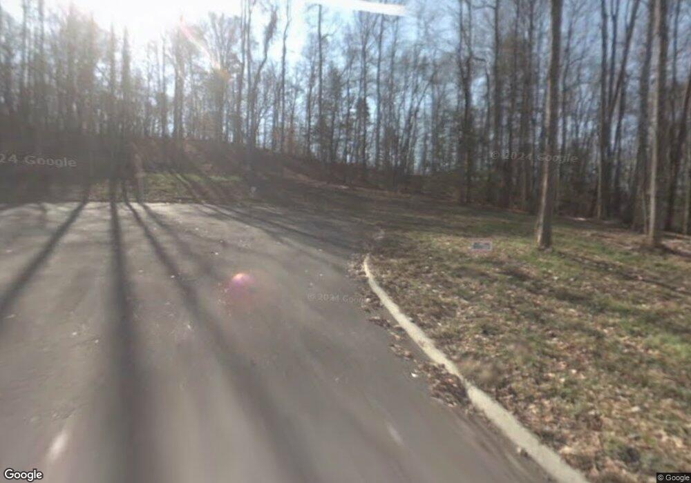
324 Muscadine Ct Sevierville, TN 37876
Estimated Value: $456,941 - $652,000
--
Bed
1
Bath
1,680
Sq Ft
$330/Sq Ft
Est. Value
About This Home
This home is located at 324 Muscadine Ct, Sevierville, TN 37876 and is currently estimated at $554,471, approximately $330 per square foot. 324 Muscadine Ct is a home with nearby schools including Catons Chapel Elementary School, Jones Cove Elementary School, and Northview Elementary School.
Ownership History
Date
Name
Owned For
Owner Type
Purchase Details
Closed on
May 12, 2025
Sold by
Morrow David W and Morrow Sharon
Bought by
Morrow Michael Stephen
Current Estimated Value
Purchase Details
Closed on
May 15, 2018
Sold by
Rudd Suzanne L and Beal Suzanne L
Bought by
Morrow David W and Morrow Sharon
Purchase Details
Closed on
Feb 24, 2011
Sold by
Emeigh Pamela K
Bought by
Beal Robert S
Purchase Details
Closed on
May 7, 2008
Sold by
Henderson James L
Bought by
Emeigh Pamela K
Create a Home Valuation Report for This Property
The Home Valuation Report is an in-depth analysis detailing your home's value as well as a comparison with similar homes in the area
Home Values in the Area
Average Home Value in this Area
Purchase History
| Date | Buyer | Sale Price | Title Company |
|---|---|---|---|
| Morrow Michael Stephen | -- | Magnolia Title | |
| Morrow David W | $13,000 | None Available | |
| Beal Robert S | -- | -- | |
| Emeigh Pamela K | $35,000 | -- |
Source: Public Records
Mortgage History
| Date | Status | Borrower | Loan Amount |
|---|---|---|---|
| Previous Owner | Morrow David W | $180,000 | |
| Previous Owner | Morrow David W | $180,000 |
Source: Public Records
Tax History Compared to Growth
Tax History
| Year | Tax Paid | Tax Assessment Tax Assessment Total Assessment is a certain percentage of the fair market value that is determined by local assessors to be the total taxable value of land and additions on the property. | Land | Improvement |
|---|---|---|---|---|
| 2025 | $820 | $55,425 | $5,000 | $50,425 |
| 2024 | $820 | $55,425 | $5,000 | $50,425 |
| 2023 | $820 | $55,425 | $0 | $0 |
| 2022 | $820 | $55,425 | $5,000 | $50,425 |
| 2021 | $820 | $55,425 | $5,000 | $50,425 |
| 2020 | $800 | $55,425 | $5,000 | $50,425 |
| 2019 | $405 | $43,000 | $5,000 | $38,000 |
| 2018 | $93 | $5,000 | $5,000 | $0 |
| 2017 | $93 | $5,000 | $5,000 | $0 |
| 2016 | $93 | $5,000 | $5,000 | $0 |
| 2015 | -- | $4,500 | $0 | $0 |
| 2014 | $73 | $4,500 | $0 | $0 |
Source: Public Records
Map
Nearby Homes
- 320 Muscadine Ct
- 223 Burning Oaks Dr
- 224 Burning Oaks Dr
- 274 Burning Oaks Dr
- 3851 Mistletoe Loop
- 279 Arrowhead Mountain Way
- 150 Burning Oaks Dr
- 125 Burning Oaks Dr
- 134 Burning Oaks Dr
- 105 Burning Oaks Dr
- 4310 Stonehenge Way
- 4151 Newport Hwy
- 4169 Newport Hwy
- 0 Stonehenge Way Unit 37 11571633
- 0 Stonehenge Way
- Lot 37 Stonehenge Way
- Lot 4 Stonehenge Way
- 771 Alpine Dr
- Lot 89 Silverbell Dr
- Lot 88 Silverbell Dr
- Lot 78 Muscadine Ct
- Lot 79 Muscadine Ct
- Lot 77 Muscadine Ct
- Lot 80 Muscadine Ct
- 260 Burning Oaks Dr
- 268 Burning Oaks Dr
- 179 Burning Oaks Dr
- 0 E Mistletoe Unit 601398
- 0 E Mistletoe Unit 601394
- 0 E Mistletoe Unit 601387
- 285 Burning Oaks Dr
- 275 Burning Oaks Dr
- 167 Burning Oaks Dr
- BURNING Oaks Dr
- 280 Arrowhead Mountain Way
- 163 Burning Oaks Dr
- 0 Burning Oaks Dr Unit 226300
- Lot 23 Burning Oaks Dr
- Lot 16 Burning Oaks Dr
- Lot 28 Burning Oaks Dr
