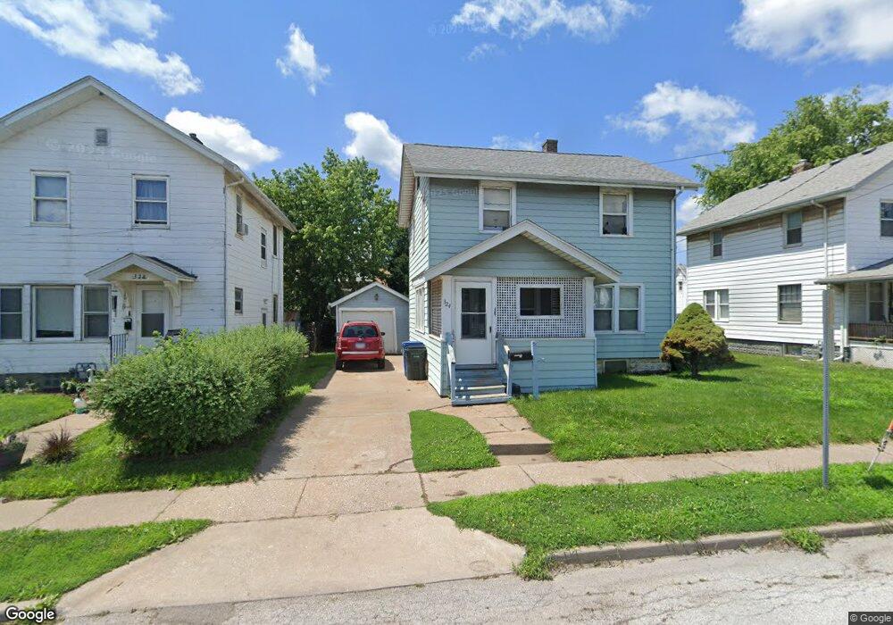
324 S Pine St Davenport, IA 52802
West End NeighborhoodEstimated Value: $80,000 - $124,000
3
Beds
1
Bath
1,144
Sq Ft
$84/Sq Ft
Est. Value
About This Home
This home is located at 324 S Pine St, Davenport, IA 52802 and is currently estimated at $95,962, approximately $83 per square foot. 324 S Pine St is a home located in Scott County with nearby schools including Walnut Hill Elementary School, South Christian Elementary School, and Caverna Middle School.
Ownership History
Date
Name
Owned For
Owner Type
Purchase Details
Closed on
Jun 6, 2013
Sold by
Ayers Mike and Ayers Nola C
Bought by
King Troy G and Kopf Lisa M
Current Estimated Value
Home Financials for this Owner
Home Financials are based on the most recent Mortgage that was taken out on this home.
Original Mortgage
$75,000
Interest Rate
3.38%
Mortgage Type
Seller Take Back
Create a Home Valuation Report for This Property
The Home Valuation Report is an in-depth analysis detailing your home's value as well as a comparison with similar homes in the area
Home Values in the Area
Average Home Value in this Area
Purchase History
| Date | Buyer | Sale Price | Title Company |
|---|---|---|---|
| King Troy G | $78,900 | None Available |
Source: Public Records
Mortgage History
| Date | Status | Borrower | Loan Amount |
|---|---|---|---|
| Closed | King Troy G | $75,000 |
Source: Public Records
Tax History Compared to Growth
Tax History
| Year | Tax Paid | Tax Assessment Tax Assessment Total Assessment is a certain percentage of the fair market value that is determined by local assessors to be the total taxable value of land and additions on the property. | Land | Improvement |
|---|---|---|---|---|
| 2025 | $1,036 | $71,560 | $8,290 | $63,270 |
| 2024 | $1,012 | $58,000 | $8,290 | $49,710 |
| 2023 | $1,462 | $58,000 | $8,290 | $49,710 |
| 2022 | $1,470 | $68,490 | $8,290 | $60,200 |
| 2021 | $1,470 | $68,490 | $8,290 | $60,200 |
| 2020 | $1,366 | $62,760 | $8,290 | $54,470 |
| 2019 | $1,346 | $59,980 | $8,290 | $51,690 |
| 2018 | $1,318 | $59,980 | $8,290 | $51,690 |
| 2017 | $334 | $59,980 | $8,290 | $51,690 |
| 2016 | $1,314 | $59,980 | $0 | $0 |
| 2015 | $1,314 | $50,330 | $0 | $0 |
| 2014 | $1,118 | $50,330 | $0 | $0 |
| 2013 | $1,098 | $0 | $0 | $0 |
| 2012 | -- | $46,810 | $6,570 | $40,240 |
Source: Public Records
Map
Nearby Homes
- 2008 Dixwell St
- 2014 Claussen St
- 2006 Claussen St
- 117 S Pine St
- 2010 W 1st St
- 223 S Lincoln Ave
- 2011 W 2nd St
- 131 S Lincoln Ave
- 120 N Pine St
- 211 Cedar St
- 2312 W 1st St
- 2312 1/2 W 1st St
- 2502 Rockingham Rd
- 1815 W 3rd St
- 321 Cedar St
- 2537 Boies Ave
- 2243 W 4th St
- 2101 W 5th St
- 2614 Mckinley Ave
- 1636 W 3rd St
- 328 S Pine St
- 320 S Pine St
- 2112 Rockingham Rd
- 2118 Rockingham Rd
- 312 S Pine St
- 2124 Rockingham Rd
- 310 S Pine St
- 2119 Dixwell St
- 2039 Dixwell St
- 2127 Dixwell St
- 2033 Dixwell St
- 2132 Rockingham Rd
- 2129 Dixwell St
- 2027 Dixwell St
- 252 S Pine St
- 2131 Dixwell St
- 2138 Rockingham Rd
- 2114 Dixwell St
- 2015 Dixwell St
- 243 S Pine St